


Del Gallego, Philippines
Del Gallego is a town of 4,070 people in Bicol Region, Philippines, founded in 1937.
Why visit Del Gallego
Townapedia lists 1 museum or landmark, 29 places to eat, 6 places to stay and 1 attraction in and around town.
Weather in Del Gallego
Forecast from MET Norway (CC BY 4.0). Full forecast
About Del Gallego
Del Gallego, officially the Municipality of Del Gallego (Central Bikol: Banwaan kan Del Gallego; Tagalog: Bayan ng Del Gallego), is a municipality in the province of Camarines Sur, Philippines. According to the 2024 census, it has a population of 26,029 people.
From the Wikipedia article Del Gallego (this version), under CC BY-SA 4.0.
Things to do1

Museums and landmarks1

Restaurants and cafes29

Chef Kris Cafe
Cafe · Filipino, Italian, Bubble Tea · 8.0 km
Lagdameo Boulevard, Poblacion
Mo-Su 08:00-21:00
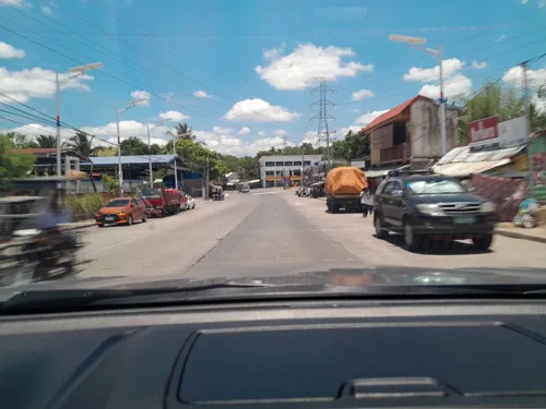
Smokehauz ni Mang Kulas Tagkawayan
Restaurant · Burger, American, Coffee Shop, Chicken, Tex-Mex, Filipino, Wings · 8.0 km
Quirino Highway, Tagkawayan
Mo-Su 10:00-23:00

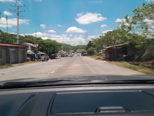

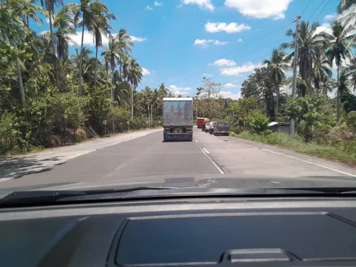
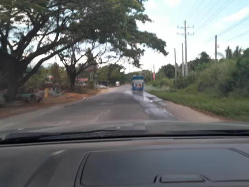
17 more on the map.
Where to stay6

Pompeo and Luming's Inn
Motel and hotel · 8.3 km
119 Morato Street, Barangay Santa Cecilia, Tagkawayan


History
It is used to be called Danawin and located along Kilbay River (now Sabang River). It was established through Executive Order No. 56 Series of 1936 signed by then President Manuel L. Quezon.
From the History section of Del Gallego on Wikipedia, under CC BY-SA 4.0.
Churches and places of worship9
Shopping2
Gas and EV charging9
Schools, colleges and libraries48
Healthcare4
Map of Del Gallego
109 places. The map loads OpenStreetMap tiles when you open it.
Getting there and nearby towns
Daet Airport (DTE) is the nearest airport with scheduled flights listed in OpenStreetMap, 48 km away.
- Calauag 33 km west, about 33 min by car
- Labo 36 km northeast, about 36 min by car
- Lopez 36 km west, about 36 min by car
- Talisay 42 km northeast, about 42 min by car
- Daet 44 km northeast, about 44 min by car
- Vinzons 44 km northeast, about 44 min by car
- Sipocot 45 km southeast, about 45 min by car
- Paracale 45 km northeast, about 45 min by car
- Catanauan 47 km southwest, about 47 min by car
- Mercedes 49 km northeast, about 49 min by car
Drive times are estimates from straight-line distance, not routes.
Local news
Headlines from INDB.
Reviews, tips and questions
Loading what members have shared...
Sources and licences
- GeoNames (CC BY 4.0): population, coordinates, regions and time zone
- Mapillary (see each image): photos
- OpenStreetMap contributors (ODbL 1.0): places, airports, map data
- Wikidata (CC0 1.0): elevation, founding date, time zone, website
- Wikimedia Commons (see each image): photos
- Wikipedia (CC BY-SA 4.0): overview and history text
Photo credits
- Saint Lucy Chapel, Del Gallego, Cam Sur, Mar 2026, Ralff Nestor Nacor, CC BY-SA 4.0
- Sabang River from Kilbay Bridge, Del Gallego, Cam Sur, Mar 2026, Ralff Nestor Nacor, CC BY-SA 4.0
- Kilbay River, Zyrahila, CC BY-SA 4.0
- ISS066-E-48154 - View of Earth, Earth Science and Remote Sensing Unit , Lyndon B. Johnson Space Center, Public domain
- ISS067-E-48411 - View of Earth, Earth Science and Remote Sensing Unit , Lyndon B. Johnson Space Center, Public domain
- Coconut Plants, Zyrahila, CC BY-SA 4.0
- View from Quirino Highway, Tagkawayan, Quezon, Mar 2026 (1), Ralff Nestor Nacor, CC BY-SA 4.0
- View from Quirino Highway, Tagkawayan, Quezon, Mar 2026 (2), Ralff Nestor Nacor, CC BY-SA 4.0
- SUNSET Landscape, Zyrahila, CC BY-SA 4.0
- Coconut Tree and Colorful Sky, Zyrahila, CC BY-SA 4.0
- Quirino Highway, Tagkawayan, Quezon, Mar 2026 (3), Ralff Nestor Nacor, CC BY-SA 4.0
- Quirino Highway, Tagkawayan, Quezon, Mar 2026 (4), Ralff Nestor Nacor, CC BY-SA 4.0
- Quirino Highway, Tagkawayan, Quezon, Mar 2026 (2), Ralff Nestor Nacor, CC BY-SA 4.0
- Quirino Highway, Tagkawayan, Quezon, Mar 2026 (1), Ralff Nestor Nacor, CC BY-SA 4.0
- Happy Kaway Festival Banner, Tagkawayan, Quezon, Mar 2026, Ralff Nestor Nacor, CC BY-SA 4.0
- P.O. Transport Bus Terminal, Tagkawayan, Quezon, Mar 2026, Ralff Nestor Nacor, CC BY-SA 4.0
- ISS066-E-48155 - View of Earth, Earth Science and Remote Sensing Unit , Lyndon B. Johnson Space Center, Public domain
- ISS066-E-48156 - View of Earth, Earth Science and Remote Sensing Unit , Lyndon B. Johnson Space Center, Public domain
- Andaya Highway, GRS, Ragay, Dec 2025 (2), Ralff Nestor Nacor, CC BY-SA 4.0
- View from Rolando Andaya Highway, GRS, Ragay, Cam Sur, Mar 2026 (1), Ralff Nestor Nacor, CC BY-SA 4.0
- Rolando Andaya Highway, GRS, Ragay, Cam Sur, Mar 2026 (3), Ralff Nestor Nacor, CC BY-SA 4.0
- P.O. Transport Eatery, GRS, Ragay, Cam Sur, Mar 2026, Ralff Nestor Nacor, CC BY-SA 4.0
- Rolando Andaya Highway, GRS, Ragay, Cam Sur, Mar 2026 (2), Ralff Nestor Nacor, CC BY-SA 4.0
- EJ's Kambingan Eatery, GRS, Ragay, Cam Sur, Mar 2026, Ralff Nestor Nacor, CC BY-SA 4.0
- Rolando Andaya Highway, GRS, Ragay, Cam Sur, Mar 2026 (1), Ralff Nestor Nacor, CC BY-SA 4.0
- View from Rolando Andaya Highway, GRS, Ragay, Cam Sur, Mar 2026 (2), Ralff Nestor Nacor, CC BY-SA 4.0
- Andaya Highway, GRS, Ragay, Cam Sur, Dec 2025 (1), Ralff Nestor Nacor, CC BY-SA 4.0
- P.O. Transport Bus Stop, GRS, Ragay, Cam Sur, Mar 2026, Ralff Nestor Nacor, CC BY-SA 4.0
- Street-level photo, ericb1983, CC BY-SA 4.0
- Street-level photo, ericb1983, CC BY-SA 4.0
- Street-level photo, ericb1983, CC BY-SA 4.0
- Street-level photo, ericb1983, CC BY-SA 4.0
- Street-level photo, ericb1983, CC BY-SA 4.0
- Street-level photo, ericb1983, CC BY-SA 4.0
- Street-level photo, ericb1983, CC BY-SA 4.0
- Street-level photo, ericb1983, CC BY-SA 4.0
- Street-level photo, ericb1983, CC BY-SA 4.0
- Street-level photo, ericb1983, CC BY-SA 4.0
- Street-level photo, ericb1983, CC BY-SA 4.0
- Street-level photo, ericb1983, CC BY-SA 4.0
- Street-level photo, ericb1983, CC BY-SA 4.0
- Street-level photo, ericb1983, CC BY-SA 4.0
- Street-level photo, ericb1983, CC BY-SA 4.0
- Street-level photo, ericb1983, CC BY-SA 4.0
- Street-level photo, ericb1983, CC BY-SA 4.0
- Street-level photo, ericb1983, CC BY-SA 4.0


Page built November 7, 2026. Spotted a mistake? Tell us or suggest a place.