


Why visit Isabang
Townapedia lists 2 museums and landmarks, 3 parks and trails, 16 places to eat and 6 places to stay in and around town.
Highlights include Apolinario dela Cruz (1815–1841).
Weather in Isabang
Forecast from MET Norway (CC BY 4.0). Full forecast
Museums and landmarks2

Parks, trails and playgrounds3


Restaurants and cafes16

Tapsi LOGAN
Restaurant · Regional, Breakfast · 2.3 km
Tropical Avenue
Mo-Fr 08:00-15:00
WhisThee Foodhouse
Restaurant · 1.2 km
Maharlika Highway, Tayabas
Mo-Su 11:00-19:00

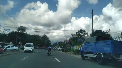
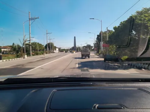
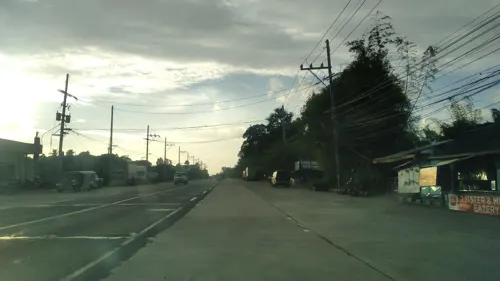
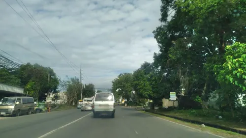
4 more on the map.
Where to stay6




Churches and places of worship2
Proposed Site - Our Lady of The Miraculous Medal Parish
Church · Roman Catholic · 1.4 km
Shopping5
Gas and EV charging6
Schools, colleges and libraries7
Healthcare2
Lucena United Doctors Hospital and Medical Center
Hospital · 1.9 km
Old Manila South Road
Map of Isabang
49 places. The map loads OpenStreetMap tiles when you open it.
Getting there and nearby towns
Marinduque Airport (MRQ) is the nearest airport with scheduled flights listed in OpenStreetMap, 72 km away.
- Sariaya 5 km west, about 5 min by car
- Lucena 6 km southeast, about 6 min by car
- Tayabas 8 km north, about 8 min by car
- Pagbilao 14 km east, about 14 min by car
- Candelaria 16 km west, about 16 min by car
- Lucban 17 km north, about 17 min by car
- Majayjay 24 km northwest, about 24 min by car
- Nagcarlan 26 km northwest, about 26 min by car
- Rizal 26 km northwest, about 26 min by car
- San Pablo 29 km northwest, about 29 min by car
Drive times are estimates from straight-line distance, not routes.
Local news
Headlines from INDB.
Reviews, tips and questions
Loading what members have shared...
Sources and licences
- GeoNames (CC BY 4.0): population, coordinates, regions and time zone
- Mapillary (see each image): photos
- OpenStreetMap contributors (ODbL 1.0): places, airports, map data
- Wikidata (CC0 1.0): elevation, founding date, time zone, website, landmarks and historic places
- Wikimedia Commons (see each image): photos
Photo credits
- Saint Ferdinand Cathedral (Quezon Avenue, Lucena, Quezon; 10-09-2022), Patrickroque01, CC BY-SA 4.0
- Enverga University (Lucena) arch, Ramon FVelasquez, CC BY-SA 3.0
- QSHS Multi-Purpose Building, Emesquillo, CC BY-SA 4.0
- Apolinario dela Cruz historical marker (Tayabas), Photo: Nick Coros ; perspective correction: Eugene Alvin Villar ( seav ), CC0
- Quezon Science High School - Main Building, Emesquillo, CC0
- Hermano Pule Monument Historical Marker, Nick Coros, CC0
- Lucena City Obelisk, Aerous, CC BY 4.0
- 20150204 8일차 오후 공연2 - panoramio, 문세진, CC BY 3.0
- 20150130 퀸 마가렛 호텔 - panoramio, 문세진, CC BY 3.0
- 20150204 8일차 오후 공연1 - panoramio, 문세진, CC BY 3.0
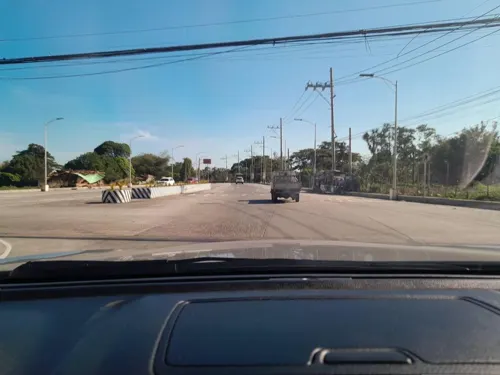
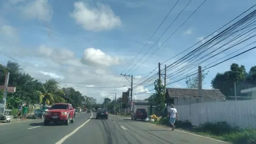
- Street-level photo, nickrds09, CC BY-SA 4.0
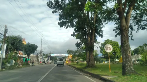
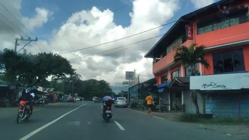
- Street-level photo, nickrds09, CC BY-SA 4.0
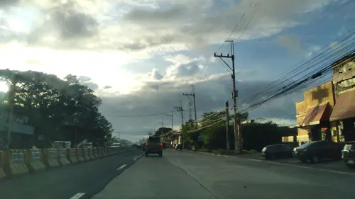
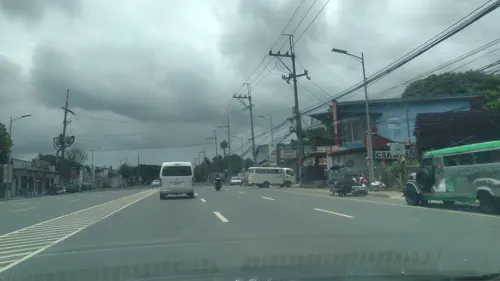
- Street-level photo, nickrds09, CC BY-SA 4.0
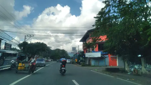
- Street-level photo, nickrds09, CC BY-SA 4.0
- Street-level photo, nickrds09, CC BY-SA 4.0
- Street-level photo, nickrds09, CC BY-SA 4.0
- Street-level photo, nickrds09, CC BY-SA 4.0
- Street-level photo, nickrds09, CC BY-SA 4.0
- Street-level photo, nickrds09, CC BY-SA 4.0
- Street-level photo, nickrds09, CC BY-SA 4.0
- Street-level photo, nickrds09, CC BY-SA 4.0
- Street-level photo, nickrds09, CC BY-SA 4.0
- Street-level photo, nickrds09, CC BY-SA 4.0
- Street-level photo, nickrds09, CC BY-SA 4.0
- Street-level photo, nickrds09, CC BY-SA 4.0
- Street-level photo, nickrds09, CC BY-SA 4.0
- Street-level photo, ericb1983, CC BY-SA 4.0
- Street-level photo, ericb1983, CC BY-SA 4.0
- Street-level photo, nickrds09, CC BY-SA 4.0
- Street-level photo, nickrds09, CC BY-SA 4.0
- Street-level photo, nickrds09, CC BY-SA 4.0


Page built November 8, 2026. Spotted a mistake? Tell us or suggest a place.