
Lupi Viejo, Philippines
Lupi
Lupi Viejo is a town of 2,453 people in Bicol Region, Philippines.
Why visit Lupi Viejo
Townapedia lists 2 parks and trails, 9 places to eat, 1 place to stay and 1 attraction in and around town.
Highlights include Libmanan Caves National Park.
Weather in Lupi Viejo
Forecast from MET Norway (CC BY 4.0). Full forecast
About Lupi Viejo
Lupi, officially the Municipality of Lupi (Central Bikol: Banwaan kan Lupi; Tagalog: Bayan ng Lupi), is a municipality in the province of Camarines Sur, Philippines. According to the 2024 census, it has a population of 33,474 people.
From the Wikipedia article Lupi, Camarines Sur (this version), under CC BY-SA 4.0.
Things to do1

Parks, trails and playgrounds2

Libmanan Caves National Park
Park · 14.2 km
National park in the Philippines
Restaurants and cafes9

A.R. CANTEEN AND SCHOOL SUPPLIES
Restaurant · 6.5 km
ZONE 5 Maharlika Highway, SIPOCOT
Mo-Fr 10:00-15:00
Where to stay1
History
Lupi started as a Franciscan mission in 1701 under Fr. Juan de la Hoz. In 1726, the settlement was moved from the Ragay mountains due to health issues. On October 17, 1726, Lupi became a town and its parish was set up under St. Peter Baptist. On that day, the Spanish government under the administration of Governor General Marquéz de Torrecampo who was also the titular head of the Diocese of Caceres, issued a decree making Lupi a separate town.
From the History section of Lupi, Camarines Sur on Wikipedia, under CC BY-SA 4.0.
Churches and places of worship14
Iglesia ni Cristo - Lokal ng Sampaloc
Church · Roman Catholic · 9.2 km
Andaya Highway
Shopping3
Gas and EV charging12
Schools, colleges and libraries88
Felix O. Alfelor Sr. Foundation College - Sipocot
School · 7.7 km
San Juan Avenue
Healthcare7
Map of Lupi Viejo
137 places. The map loads OpenStreetMap tiles when you open it.
Getting there and nearby towns
Daet Airport (DTE) is the nearest airport with scheduled flights listed in OpenStreetMap, 39 km away.
- Sipocot 8 km east, about 8 min by car
- Basud 31 km north, about 31 min by car
- Canaman 32 km southeast, about 32 min by car
- Gainza 32 km southeast, about 32 min by car
- Calabanga 34 km east, about 34 min by car
- Magarao 33 km southeast, about 33 min by car
- Camaligan 33 km southeast, about 33 min by car
- Naga 35 km southeast, about 35 min by car
- Daet 36 km north, about 36 min by car
- Mercedes 37 km north, about 37 min by car
Drive times are estimates from straight-line distance, not routes.
Local news
Headlines from INDB.
Reviews, tips and questions
Loading what members have shared...
Sources and licences
- GeoNames (CC BY 4.0): population, coordinates, regions and time zone
- Mapillary (see each image): photos
- OpenStreetMap contributors (ODbL 1.0): places, airports, map data
- Wikidata (CC0 1.0): elevation, founding date, time zone, website, landmarks and historic places
- Wikipedia (CC BY-SA 4.0): overview and history text
Photo credits
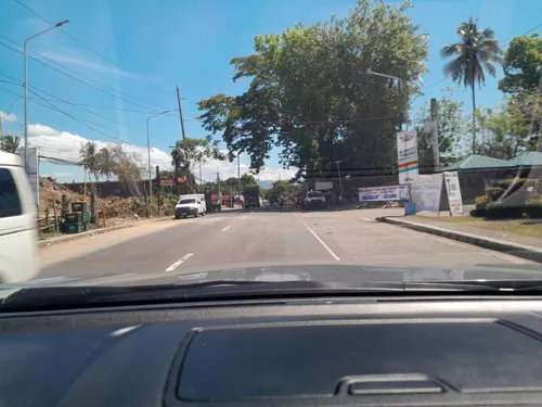
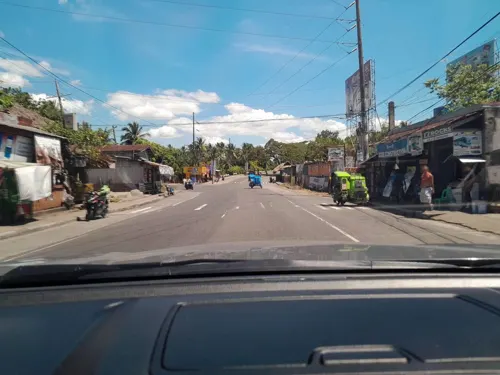
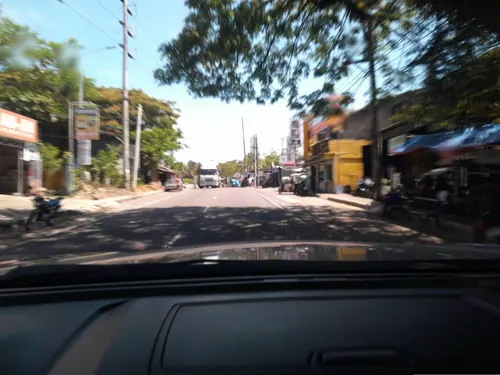
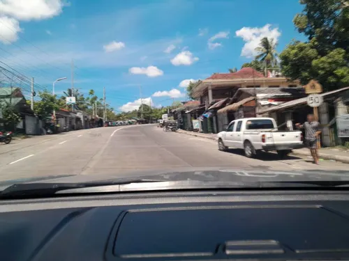
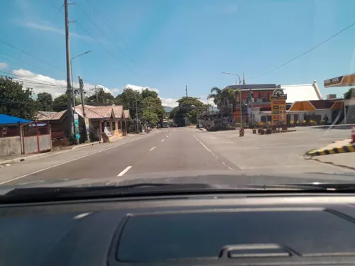
- Street-level photo, ericb1983, CC BY-SA 4.0
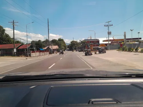
- Street-level photo, ericb1983, CC BY-SA 4.0
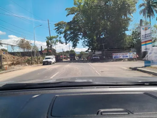
- Street-level photo, ericb1983, CC BY-SA 4.0
- Street-level photo, ericb1983, CC BY-SA 4.0
- Street-level photo, ericb1983, CC BY-SA 4.0
- Street-level photo, ericb1983, CC BY-SA 4.0
- Street-level photo, ericb1983, CC BY-SA 4.0
- Street-level photo, ericb1983, CC BY-SA 4.0
- Street-level photo, ericb1983, CC BY-SA 4.0
- Street-level photo, ericb1983, CC BY-SA 4.0
- Street-level photo, ericb1983, CC BY-SA 4.0
- Street-level photo, ericb1983, CC BY-SA 4.0
- Street-level photo, ericb1983, CC BY-SA 4.0
- Street-level photo, ericb1983, CC BY-SA 4.0
- Street-level photo, ericb1983, CC BY-SA 4.0
- Street-level photo, ericb1983, CC BY-SA 4.0
- Street-level photo, ericb1983, CC BY-SA 4.0
- Street-level photo, ericb1983, CC BY-SA 4.0
- Street-level photo, ericb1983, CC BY-SA 4.0
Page built November 7, 2026. Spotted a mistake? Tell us or suggest a place.