


Manoc-Manoc, Philippines
Manoc-Manoc is a town of 5,991 people in Western Visayas, Philippines.
Why visit Manoc-Manoc
Townapedia lists 3 museums and landmarks, 6 parks and trails, 94 places to eat, 126 places to stay and 5 attractions in and around town.
Weather in Manoc-Manoc
Forecast from MET Norway (CC BY 4.0). Full forecast
Things to do5

Museums and landmarks3

Parks, trails and playgrounds6


Restaurants and cafes94

Dos Mestizos Restaurant
Restaurant · Spanish, Seafood, Tapas · 2.2 km
Calle Remedios
Mo-Su 10:00-00:00
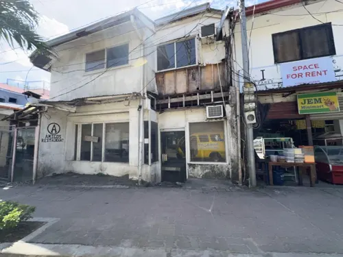
GMarket
Bakery · 1.8 km
Bakery, Fruit & Vegetables, Fashion Boutique, Souvenir Shop
Ambulong Street, Boracay, Aklan
Mo-Su 08:00-20:30
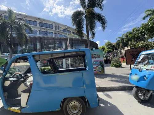
Eva’s Homemade Pizza & Resto Bar
Restaurant · Asian, Breakfast, Chicken, Coffee Shop, Filipino, Hungarian, Korean, Noodles, Pancake, Pasta, Pizza, Sausage, Tea, Chinese · 1.8 km
Ambulong Street
24/7
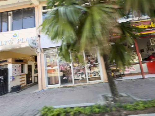
GMarket | GCafe & Bakery
Cafe · Coffee Shop, Pizza, Burger, Sandwich, Chicken, Breakfast, Barbecue, Cake, Pasta, Dessert, Diner, Filipino, Pastry · 1.8 km
Ambulong Street, Boracay, Aklan
Mo-Su 07:00-21:00
Subo
Restaurant · Filipino, Regional · 2.2 km
Calle Remedios
Mo-Su 12:00-23:00

Boracay Island Brewing Company
Brewery and winery · 2.2 km
Calle Remedios
Mo-Su 13:00-01:00
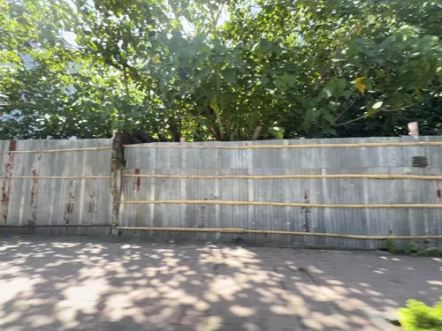
Island Izakaya
Restaurant · Japanese · 1.9 km
Mo-Su 12:00-22:00
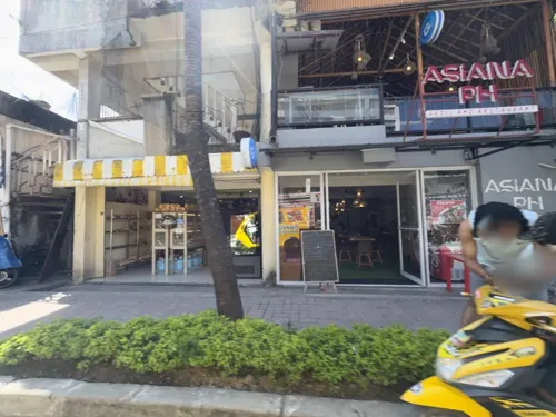


Montoya Grill Station Boracay
Restaurant · 1.8 km
Ambulong Street, Boracay, Aklan
Mo-Su 10:00-22:00
82 more on the map.
Where to stay126
Churches and places of worship6
Ambulong Seventh Day Adventist Church
Church · Seventh Day Adventist · 1.5 km
Ambulong Street
Iglesia ni Cristo, Bantud Locale
Church · Iglesia Ni Cristo · 1.0 km
Tulubhan Road
Shopping28
Gas and EV charging6
Schools, colleges and libraries7
Healthcare3
Map of Manoc-Manoc
250 places. The map loads OpenStreetMap tiles when you open it.
Getting there and nearby towns
Godofredo P. Ramos Airport (MPH) is the nearest airport with scheduled flights listed in OpenStreetMap, 2 km away.
- Yapak 1 km northwest, about 1 min by car
- Caticlan 2 km southeast, about 2 min by car
- Balabag 4 km northwest, about 4 min by car
- Unidos 7 km southeast, about 7 min by car
- Lanas 12 km north, about 12 min by car
- Gibong 14 km southeast, about 14 min by car
- Agcogon 13 km north, about 13 min by car
- Kalibo 53 km southeast, about 53 min by car
- New Washington 62 km southeast, about 1 h by car
- Romblon 79 km northeast, about 1 h 15 min by car
Drive times are estimates from straight-line distance, not routes.
Local news
Headlines from INDB.
Reviews, tips and questions
Loading what members have shared...
Sources and licences
- GeoNames (CC BY 4.0): population, coordinates, regions and time zone
- Mapillary (see each image): photos
- OpenStreetMap contributors (ODbL 1.0): places, airports, map data
- Wikidata (CC0 1.0): elevation, founding date, time zone, website
- Wikimedia Commons (see each image): photos
Photo credits
- Manoc - Manoc, Malay, Aklan, Philippines - panoramio (3), anonymouse1, CC BY-SA 3.0
- Manoc - Manoc, Malay, Aklan, Philippines - panoramio (2), anonymouse1, CC BY-SA 3.0
- Manoc - Manoc, Malay, Aklan, Philippines - panoramio, Mozhar, CC BY-SA 3.0
- Manoc - Manoc, Malay, Aklan, Philippines - panoramio (1), Mozhar, CC BY-SA 3.0
- Manoc - Manoc, Malay, Aklan, Philippines - panoramio (6), anonymouse1, CC BY-SA 3.0
- Caticlan, Malay, Aklan, Philippines - panoramio, Mozhar, CC BY-SA 3.0
- Manoc - Manoc, Malay, Aklan, Philippines - panoramio (4), anonymouse1, CC BY-SA 3.0
- Manoc - Manoc, Malay, Aklan, Philippines - panoramio (5), anonymouse1, CC BY-SA 3.0
- Boracay White Beach - panoramio (1), Tuderna, CC BY 3.0
- Manoc - Manoc, Malay, Aklan, Philippines - panoramio (9), anonymouse1, CC BY-SA 3.0
- Boracay White Beach - panoramio - Tuderna (5), Tuderna, CC BY 3.0
- Manoc - Manoc, Malay, Aklan, Philippines - panoramio (7), anonymouse1, CC BY-SA 3.0
- Boracay White Beach - panoramio - Tuderna (3), Tuderna, CC BY 3.0
- Baby goats resting, Boracay, Rick McCharles, CC BY 2.0
- Western Nautical Hwy, Malay, Aklan, Philippines - panoramio, Mozhar, CC BY-SA 3.0
- Boat Ride to Boracay - panoramio, ewol, CC BY-SA 3.0
- Manoc - Manoc, Malay, Aklan, Philippines - panoramio (8), anonymouse1, CC BY-SA 3.0
- Boracay sunset - panoramio, Jan Hazevoet, CC BY 3.0
- Boracay paraw sailboat, momo, CC BY 2.0
- View from Caticlan's jetty port - panoramio, Tuderna, CC BY 3.0
- MS Villa Vie Odyssey 10, JerickVillaruel, CC BY-SA 4.0
- MS Villa Vie Odyssey 9, JerickVillaruel, CC BY-SA 4.0
- Ceres Tours • 6434 • Yutong Bus & Coach ZK6119HYG, JerickVillaruel, CC BY-SA 4.0
- MS Villa Vie Odyssey 5, JerickVillaruel, CC BY-SA 4.0
- MS Villa Vie Odyssey 12, JerickVillaruel, CC BY-SA 4.0
- Hunger In Paradise, Boracay - panoramio, DM San Jose, CC BY 3.0
- Life In Plenty, Boracay - panoramio, DM San Jose, CC BY 3.0
- White sand beach, Boracay Island - panoramio, Alexey Komarov, CC BY 3.0
- Ferry from Caticlan to Boracay (52260887734), Dinesh Valke from Thane, India, CC BY-SA 2.0
- Manoc - Manoc, Malay, Aklan, Philippines - panoramio (11), anonymouse1, CC BY-SA 3.0
- Sunset in Boracay, Alex C. Henon, CC BY-SA 4.0
- Boracay panorama 2, Michael E. Peligro, CC BY-SA 4.0
- Boracay panorama 1, Michael E. Peligro, CC BY-SA 4.0
- Manoc - Manoc, Malay, Aklan, Philippines - panoramio (10), anonymouse1, CC BY-SA 3.0
- Boracay paraw sailboats 010, Rick McCharles, CC BY 2.0
- Boracay laundry, Rick McCharles from Calgary, Canada, CC BY 2.0
- White sand beach, Boracay Island - panoramio (2), Alexey Komarov, CC BY 3.0
- Manoc - Manoc, Malay, Aklan, Philippines - panoramio (12), anonymouse1, CC BY-SA 3.0
- Manoc - Manoc, Malay, Aklan, Philippines - panoramio (13), anonymouse1, CC BY-SA 3.0
- AirSWIFT ATR 42-600 (RP-C4202) Caticlan Airport 2022-06-27, LMP 2001, CC BY-SA 4.0
- Street-level photo, filipb, CC BY-SA 4.0
- Street-level photo, filipb, CC BY-SA 4.0
- Street-level photo, filipb, CC BY-SA 4.0
- Street-level photo, filipb, CC BY-SA 4.0
- Street-level photo, filipb, CC BY-SA 4.0
- Street-level photo, filipb, CC BY-SA 4.0
- Street-level photo, filipb, CC BY-SA 4.0
- Street-level photo, filipb, CC BY-SA 4.0
- Street-level photo, filipb, CC BY-SA 4.0
- Street-level photo, filipb, CC BY-SA 4.0
- Street-level photo, filipb, CC BY-SA 4.0
- Street-level photo, filipb, CC BY-SA 4.0
- Street-level photo, filipb, CC BY-SA 4.0


Page built November 7, 2026. Spotted a mistake? Tell us or suggest a place.