


Moalboal, Philippines
Moalboal is a town of 6,832 people in Central Visayas, Philippines, founded in February 6, 1852.
Why visit Moalboal
Townapedia lists 14 museums and landmarks, 6 parks and trails, 121 places to eat, 113 places to stay and 4 attractions in and around town.
Highlights include Pescador Lighthouse and Dap Dap Floating Cottages.
Weather in Moalboal
Forecast from MET Norway (CC BY 4.0). Full forecast
About Moalboal
Moalboal ([moʔˈalboʔˌal]), officially the Municipality of Moalboal (Cebuano: Lungsod sa Moalboal; Tagalog: Bayan ng Moalboal), is a municipality in the Philippine province of Cebu. According to the 2024 census, it had a population of 37,993 people.
From the Wikipedia article Moalboal (this version), under CC BY-SA 4.0.
Travel tips from other travellers: Moalboal on Wikivoyage (CC BY-SA 4.0).
Things to do4



Museums and landmarks14
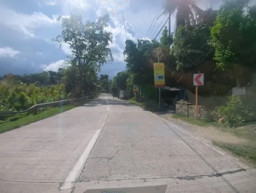
Dap Dap Floating Cottages
Monument and historic site · 4.0 km
Mo-Su 08:00-17:00

Good snorkeling beach - Tuble Marine Sanctuary
Monument and historic site · 4.0 km
24/7
2 more on the map.
Parks, trails and playgrounds6




Restaurants and cafes121

KYRO Cafe
Cafe · Coffee Shop, Waffle, Cake, Crepe, Pasta, Sandwich, Salad, Breakfast, Lunch, Diner · 3.1 km
1 Stockbridge Road, Moalboal
Mo-Su 07:00-21:00
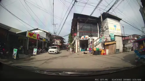
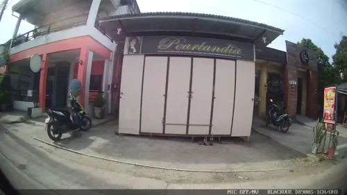

The Good Place
Restaurant · Seafood, Chicken, Noodles, Fish, Filipino, Pasta, Asian, Sandwich · 3.0 km
Panagsama Road
Tu-Su 11:00-22:00
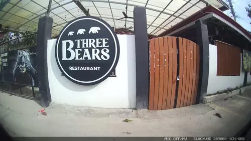
The Three Bears
Restaurant · Burger, Chicken, Pizza · 3.3 km
Panagsama Road
Mo-Sa 12:00-22:00
Kraken Restaurant and Bar
Restaurant · Seafood · 3.5 km
Panagsama Road
Mo-Su 11:00-23:00
French Bakery Ô Délices
Restaurant · Breakfast, Cake, Coffee Shop, French, Italian, Pasta · 2.3 km
Mo-Su 08:00-19:00
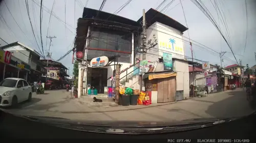
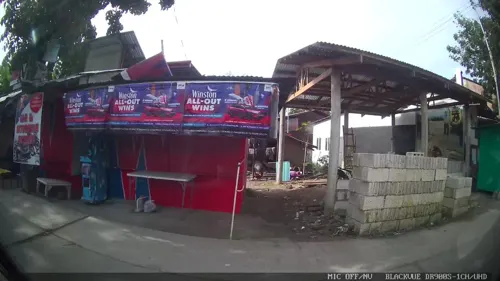



109 more on the map.
Where to stay113
Churches and places of worship7
Saint Augustine Parish - Alcantara (Cebu Archdiocese)
Church · Catholic · 3.0 km
Shopping7
Gas and EV charging12
Schools, colleges and libraries49
Balabagon Elementary School
School · 2.8 km
Santander - Barili - Toledo - Road, Moalboal
Tunga Elementary School
School · 1.2 km
Santander - Barili - Toledo Road, Moalboal
Healthcare5
Sarmiento Clinic (Pediatrics, Opthalmology, Eye & Ear, Nose & Throat)
Clinic and pharmacy
Map of Moalboal
250 places. The map loads OpenStreetMap tiles when you open it.
Getting there and nearby towns
Bohol-Panglao International Airport (TAG) is the nearest airport with scheduled flights listed in OpenStreetMap, 58 km away.
- Guihulñgan 24 km northwest, about 24 min by car
- Carcar 32 km northeast, about 32 min by car
- San Fernando 42 km northeast, about 42 min by car
- Pinamungahan 42 km northeast, about 42 min by car
- Vallehermoso 44 km north, about 44 min by car
- Naga 49 km northeast, about 49 min by car
- Bais 50 km southwest, about 50 min by car
- Canlaon 53 km north, about 53 min by car
- Toledo 55 km northeast, about 55 min by car
- Tanjay 54 km southwest, about 54 min by car
Drive times are estimates from straight-line distance, not routes.
Local news
Headlines from INDB.
Reviews, tips and questions
Loading what members have shared...
Sources and licences
- GeoNames (CC BY 4.0): population, coordinates, regions and time zone
- Mapillary (see each image): photos
- OpenStreetMap contributors (ODbL 1.0): places, airports, map data
- Wikidata (CC0 1.0): elevation, founding date, time zone, website
- Wikimedia Commons (see each image): photos
- Wikipedia (CC BY-SA 4.0): overview and history text
Photo credits
- Moalboal Cebu 4, P199, CC BY-SA 4.0
- Pescador Island, P199, CC BY-SA 4.0
- Street-level photo, Kaart---FRONT, CC BY-SA 4.0
- Street-level photo, Kaart---FRONT, CC BY-SA 4.0
- Street-level photo, Kaart---LEFT, CC BY-SA 4.0
- Street-level photo, Kaart---RIGHT, CC BY-SA 4.0
- Street-level photo, Kaart---FRONT, CC BY-SA 4.0
- Street-level photo, Kaart---FRONT, CC BY-SA 4.0
- Street-level photo, Kaart---FRONT, CC BY-SA 4.0
- Street-level photo, Kaart---FRONT, CC BY-SA 4.0
- Street-level photo, jfrek, CC BY-SA 4.0
- Street-level photo, Kaart---LEFT, CC BY-SA 4.0
- Street-level photo, Kaart---LEFT, CC BY-SA 4.0
- Street-level photo, Kaart---FRONT, CC BY-SA 4.0
- Street-level photo, jfrek, CC BY-SA 4.0
- Street-level photo, Kaart---FRONT, CC BY-SA 4.0
- Street-level photo, Kaart---RIGHT, CC BY-SA 4.0
- Street-level photo, Kaart---FRONT, CC BY-SA 4.0
Page built November 7, 2026. Spotted a mistake? Tell us or suggest a place.