


Why visit Narvacan
Townapedia lists 4 museums and landmarks, 8 parks and trails, 16 places to eat, 3 places to stay and 3 attractions in and around town.
Highlights include Church of Narvacan and Northern Luzon Heroes Hill National Park.
Weather in Narvacan
Forecast from MET Norway (CC BY 4.0). Full forecast
About Narvacan
Narvacan, officially the Municipality of Narvacan (Ilocano: Ili ti Narvacan; Filipino: Bayan ng Narvacan), is a municipality in the province of Ilocos Sur, Philippines. According to the 2024 census, it has a population of 46,265 people.
From the Wikipedia article Narvacan (this version), under CC BY-SA 4.0.
Travel tips from other travellers: Narvacan on Wikivoyage (CC BY-SA 4.0).
Things to do3

Museums and landmarks4

World Heritage Site - The Church of Our Lady of the Assumption
Monument and historic site · 5.7 km
Parks, trails and playgrounds8


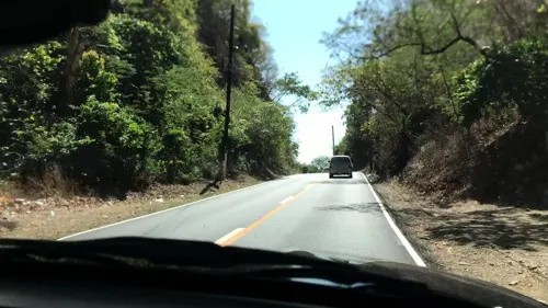
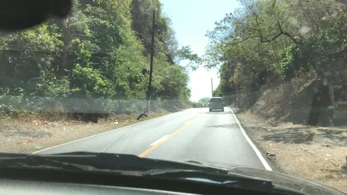

Restaurants and cafes16
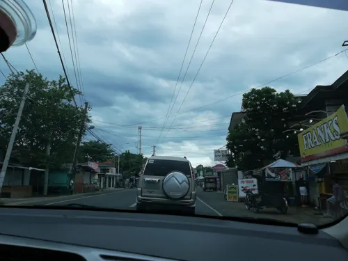




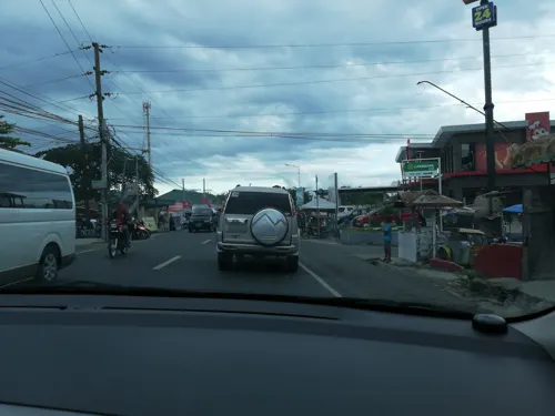


4 more on the map.
History
A Spanish expeditionary force sent from Vigan by the military officer and navigator, Captain Juan de Salcedo was shipwrecked along the town's coast in 1576. When they were being rescued by the natives, the Spaniards asked the natives what the name of their place was. The resident's leader replied in an Ilocano dialect by asking the Spaniards, "Nalbakan?" (Are you shipwrecked?). The Spaniards thought this to be the answer to their question, and from then, the place was referred to as Narvacan.
Salcedo befriended the small tribe of indigenous peoples in the valley that resided in the area while Spanish families established a township in 1576. As part of the modern township, a Roman Catholic parish was established by the Augustinian religious order on 25 April 1587. The Narvacan parish became one of the first Roman Catholic parishes in present-day Ilocos Sur. Once dedicated to Saint Lucy, it was rededicated in 2017 to the patronage of Our Lady of Mount Carmel, leaving Saint Lucy as its secondary patron.
The parish church boasts a facade of baroque architecture, with a bell tower situated on the right side of the church and a cemetery on the left. A school, the Narvacan Catholic School, is situated beside the bell tower of Narvacan.
From the History section of Narvacan on Wikipedia, under CC BY-SA 4.0.
Where to stay3
Churches and places of worship5
Shopping5
Gas and EV charging13
Schools, colleges and libraries67
Healthcare10
Map of Narvacan
134 places. The map loads OpenStreetMap tiles when you open it.
Getting there and nearby towns
Laoag International Airport (LAO) is the nearest airport with scheduled flights listed in OpenStreetMap, 85 km away.
- Santa Maria 6 km south, about 6 min by car
- Santa 9 km northwest, about 9 min by car
- Vigan 20 km northwest, about 20 min by car
- Bantay 21 km northwest, about 21 min by car
- Candon 25 km south, about 25 min by car
- Bangued 27 km northeast, about 27 min by car
- San Juan 36 km north, about 36 min by car
- Bontoc 65 km southeast, about 1 h by car
- Batac City 72 km north, about 1 h 15 min by car
- Laoag 88 km north, about 1 h 30 min by car
Drive times are estimates from straight-line distance, not routes.
Local news
Headlines from INDB.
Reviews, tips and questions
Loading what members have shared...
Sources and licences
- GeoNames (CC BY 4.0): population, coordinates, regions and time zone
- Mapillary (see each image): photos
- OpenStreetMap contributors (ODbL 1.0): places, airports, map data
- Wikidata (CC0 1.0): elevation, founding date, time zone, website, landmarks and historic places
- Wikimedia Commons (see each image): photos
- Wikipedia (CC BY-SA 4.0): overview and history text
Photo credits
- Narvacan Ilocos Sur, P199, CC BY-SA 4.0
- Narvacan Church - Flickr, Shubert Ciencia from Nueva Ecija, Philippines, CC BY 2.0
- Narcacan Church, ACTA314, CC BY-SA 4.0
- MacArthur Highway, Narvacan Bantay Abot (Narvacan, Ilocos Sur; 11-14-2022), Patrickroque01, CC BY-SA 4.0
- Santa Maria, Ilocos Sur Church (D. Stanley pic) - Flickr, David Stanley from Nanaimo, Canada, CC BY 2.0
- Façade of Our Lady of the Assumption, Santa Maria, Ilocos sur, Philippines, Ilocandia, CC BY-SA 4.0
- Bell tower next to Santa Maria Church, Ilocos Sur, Luzon, Philippines, GorgeousBrian, CC BY-SA 4.0
- Bell tower of Santa Maria Church in Ilocos Sur province, Philippines, GorgeousBrian, CC BY-SA 4.0
- Early Morning at the Minor Basilica of Our Lady of the Assumption, Santa Maria, Ilocos Sur, Philippines, Ilocandia, CC BY-SA 4.0
- Leaning Bell Tower of Santa Maria Church, Santa Maria, Ilocos Sur, Philippines - panoramio, Andrew Martin, CC BY 3.0
- Inside of Santa Maria Chruch, Santa Maria, Ilocos Sur, Philippines - panoramio, Andrew Martin, CC BY 3.0
- Bantay Bell Tower (D. Stanley pic) - Flickr, David Stanley from Nanaimo, Canada, CC BY 2.0
- Main altar of the Minor Basilica of Our Lady of the Assumption, Santa Maria, Ilocos Sur, Philippines, Ilocandia, CC BY-SA 4.0
- Tangadan Hills, San Quintin, Abra, Apr 2026 (1), Ralff Nestor Nacor, CC BY-SA 4.0
- Tangadan Hills, San Quintin, Abra, Apr 2026 (2), Ralff Nestor Nacor, CC BY-SA 4.0
- Tangadan Hills, San Quintin, Abra, Apr 2026 (3), Ralff Nestor Nacor, CC BY-SA 4.0
- Ilocos-Abra Road, San Quintin, Abra, Apr 2026 (1), Ralff Nestor Nacor, CC BY-SA 4.0
- Tangadan Hills, San Quintin, Abra, Apr 2026 (4), Ralff Nestor Nacor, CC BY-SA 4.0
- Santa, Ilocos Sur church - Flickr, Shubert Ciencia from Nueva Ecija, Philippines, CC BY 2.0
- Santa, Ilocos Sur church interior - Flickr, Shubert Ciencia from Nueva Ecija, Philippines, CC BY 2.0
- Street-level photo, jenjereren, CC BY-SA 4.0
- Street-level photo, jenjereren, CC BY-SA 4.0
- Street-level photo, lvl5, CC BY-SA 4.0
- Street-level photo, lvl5, CC BY-SA 4.0


Page built November 7, 2026. Spotted a mistake? Tell us or suggest a place.