


Why visit Natividad
Townapedia lists 4 museums and landmarks, 5 parks and trails, 16 places to eat, 4 places to stay and 2 attractions in and around town.
Weather in Natividad
Forecast from MET Norway (CC BY 4.0). Full forecast
About Natividad
Natividad, officially the Municipality of Natividad (Pangasinan: Baley na Natividad; Ilocano: Ili ti Natividad; Tagalog: Bayan ng Natividad), is a municipality in the province of Pangasinan, Philippines. According to the 2024 census, it has a population of 26,721 people.
From the Wikipedia article Natividad, Pangasinan (this version), under CC BY-SA 4.0.
Travel tips from other travellers: Natividad on Wikivoyage (CC BY-SA 4.0).
Things to do2

Museums and landmarks4

Parks, trails and playgrounds5

Restaurants and cafes16
Snow Cream Cafe
Cafe · Pizza, Coffee Shop, Burger, Japanese, Asian, Chicken, American, Seafood, Thai · 7.0 km
Zamora Street, Poblacion Zone 3, San Quintin, Pangasinan
Mo-Su 09:00-19:00







4 more on the map.
History
The town of Natividad was once a conglomeration of barrios and sitios bounded by the Municipality of San Quintin on the south, San Nicolas on the north, and Tayug on the west.
On December 12, 1901, a group of settlers from neighbouring towns in Pangasinan and the Ilocos provinces visted the area in search of a suitable location to establish a settlement. On January 2, 1902, they returned with their families and began settling in the area, joining several groups that were already living in the territory.
Because of increased number in people and area ran by a single leader whom they appointed, plans were drawn for the organization of a municipality. Organizational meetings and activities were undertaken to pursue this noble endeavor. The enactment of Act 371 of the Philippine Commission on March 7, 1902 that converted the community into a municipality awarded these people for their efforts and hard work.
There were 11 barangays that emerged first and these are now the barangays of San Eugenio, Licud, Recodo, Barangobong, Amanit and San Modesto, from the Municipality of San Nicolas; San Narciso, Canarem and Cabuaan, from the Municipality of Tayug; and Tolin and Bucno from the Municipality of San Quintin.
From the History section of Natividad, Pangasinan on Wikipedia, under CC BY-SA 4.0.
Where to stay4
Churches and places of worship24
Tayug Bible Baptist Church (TBBC)
Church · Bible Baptist · 6.3 km
292 Zamora Street, Tayug
Iglesia ni Cristo - San Nicolas
Church · Iglesia Ni Cristo · 5.0 km
Quezon Street
Kingdom Hall of Jehovah's Witnesses
Church · Jehovahs Witness · 6.7 km
San Quintin - Tayug
Recbecca Mina G. Navarro Memorial Church
Church · Protestant · 4.8 km
Rizal Street
Tayug Bible Baptist Church (Camp Jireh)
Church · Tayug Bible Baptist Church · 8.2 km
Shopping9
Gas and EV charging11
Schools, colleges and libraries95
Saint Patrick Catholic School
School · Roman Catholic · 6.0 km
Rizal Street, Tayug
Pan-Pacific University North Philippines - Tayug Campus
School · 6.1 km
Lopez Jaena Street
Healthcare18
Map of Natividad
188 places. The map loads OpenStreetMap tiles when you open it.
Getting there and nearby towns
Loakan Airport (BAG) is the nearest airport with scheduled flights listed in OpenStreetMap, 41 km away.
- Tayug 6 km west, about 6 min by car
- Umingan 16 km south, about 16 min by car
- Rosales 24 km southwest, about 24 min by car
- Urdaneta 25 km west, about 25 min by car
- Villasis 28 km southwest, about 28 min by car
- Muñoz 38 km south, about 38 min by car
- Itogon 38 km north, about 38 min by car
- Mangaldan 42 km west, about 42 min by car
- Bayambang 45 km southwest, about 45 min by car
- Baguio 47 km northwest, about 47 min by car
Drive times are estimates from straight-line distance, not routes.
Local news
Headlines from INDB.
Reviews, tips and questions
Loading what members have shared...
Sources and licences
- GeoNames (CC BY 4.0): population, coordinates, regions and time zone
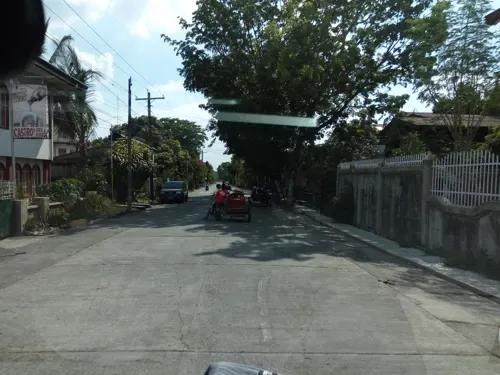
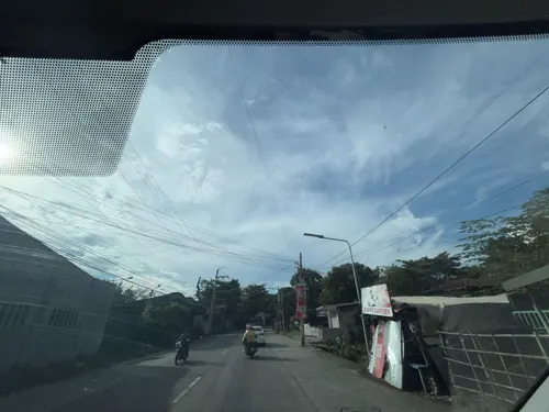
- Mapillary (see each image): photos
- OpenStreetMap contributors (ODbL 1.0): places, airports, map data
- Wikidata (CC0 1.0): elevation, founding date, time zone, website
- Wikimedia Commons (see each image): photos
- Wikipedia (CC BY-SA 4.0): overview and history text
Photo credits
- Natividad,Pangasinanjf8690 12, Ramon FVelasquez, CC BY-SA 3.0
- 1488Natividad Tayug Road 20, Judgefloro, CC0
- 1488Natividad Tayug Road 35, Judgefloro, CC0
- 1488Natividad Tayug Road 48, Judgefloro, CC0
- 1488Natividad Tayug Road 28, Judgefloro, CC0
- 1488Natividad Tayug Road 07, Judgefloro, CC0
- 1488Natividad Tayug Road 29, Judgefloro, CC0
- 1488Natividad Tayug Road 52, Judgefloro, CC0
- 1488Natividad Tayug Road 18, Judgefloro, CC0
- 1488Natividad Tayug Road 01, Judgefloro, CC0
- 1488Natividad Tayug Road 38, Judgefloro, CC0
- 1488Natividad Tayug Road 60, Judgefloro, CC0
- 1488Natividad Tayug Road 10, Judgefloro, CC0
- 1488Natividad Tayug Road 45, Judgefloro, CC0
- 1488Natividad Tayug Road 08, Judgefloro, CC0
- 1488Natividad Tayug Road 36, Judgefloro, CC0
- 1488Natividad Tayug Road 37, Judgefloro, CC0
- 1488Natividad Tayug Road 54, Judgefloro, CC0
- 1488Natividad Tayug Road 50, Judgefloro, CC0
- 1488Natividad Tayug Road 44, Judgefloro, CC0
- 1488Natividad Tayug Road 61, Judgefloro, CC0
- 1488Natividad Tayug Road 22, Judgefloro, CC0
- 1488Natividad Tayug Road 56, Judgefloro, CC0
- 1488Natividad Tayug Road 02, Judgefloro, CC0
- 1488Natividad Tayug Road 15, Judgefloro, CC0
- 1488Natividad Tayug Road 05, Judgefloro, CC0
- 1488Natividad Tayug Road 59, Judgefloro, CC0
- 1488Natividad Tayug Road 57, Judgefloro, CC0
- 1488Natividad Tayug Road 53, Judgefloro, CC0
- 1488Natividad Tayug Road 49, Judgefloro, CC0
- 1488Natividad Tayug Road 58, Judgefloro, CC0
- 1488Natividad Tayug Road 55, Judgefloro, CC0
- 1488Natividad Tayug Road 42, Judgefloro, CC0
- 1488Natividad Tayug Road 11, Judgefloro, CC0
- 1488Natividad Tayug Road 16, Judgefloro, CC0
- 1488Natividad Tayug Road 41, Judgefloro, CC0
- 1488Natividad Tayug Road 43, Judgefloro, CC0
- 1488Natividad Tayug Road 21, Judgefloro, CC0
- 1488Natividad Tayug Road 34, Judgefloro, CC0
- 1488Natividad Tayug Road 30, Judgefloro, CC0
- Street-level photo, asdfasdf0987, CC BY-SA 4.0
- Street-level photo, Prof_Pickell, CC BY-SA 4.0
- Street-level photo, Prof_Pickell, CC BY-SA 4.0
- Street-level photo, Prof_Pickell, CC BY-SA 4.0
- Street-level photo, Prof_Pickell, CC BY-SA 4.0
- Street-level photo, Prof_Pickell, CC BY-SA 4.0
- Street-level photo, Prof_Pickell, CC BY-SA 4.0
- Street-level photo, Prof_Pickell, CC BY-SA 4.0


Page built November 7, 2026. Spotted a mistake? Tell us or suggest a place.