


Why visit Quezon
Townapedia lists 2 museums and landmarks, 8 parks and trails, 52 places to eat, 15 places to stay and 4 attractions in and around town.
Highlights include Mount Mafurao, Mount Palali and Bangan Hill National Park.
Weather in Quezon
Forecast from MET Norway (CC BY 4.0). Full forecast
About Quezon
Quezon, officially the Municipality of Quezon (Gaddang: Ili na Quezon; Ilocano: Ili ti Quezon; Tagalog: Bayan ng Quezon), is a municipality in the province of Nueva Vizcaya, Philippines. According to the 2024 census, it has a population of 25,306 people.
From the Wikipedia article Quezon, Nueva Vizcaya (this version), under CC BY-SA 4.0.
Things to do4


Museums and landmarks2

Parks, trails and playgrounds8



Restaurants and cafes52

TGIF Resto
Restaurant · Chicken, Asian · 9.4 km
Plaridel Street, Solano, Nueva Vizcaya
Mo-Su 10:00-21:00
Balay Gloria Hotel and restaurant
Restaurant · 10.1 km
West Washington Street





40 more on the map.
History
On June 18, 1961, the municipality of Quezon was created from Solano by virtue of Republic Act No. 3427.
Based on the order assigned to the Commission on Elections, referred to as Case No. 405, dated March 7, 1963, the people of Quezon participated in the November 12, 1963 plebiscite and elected its Municipal District Mayor and Municipal District Members.
Five years later, in 1968, Quezon became a full-fledged municipality of Nueva Vizcaya. The original barangays that composed the municipality at that time of its creation were Baresbes, Caliat, Buliwao, Darubba, Maddiangat, and Nalubbanan.
On November 12, 1967, the following barangays Maasin, Calaocan, Bonifacio, Aurora and Runruno were founded. In 1979, barangay Dagupan was founded.
From the History section of Quezon, Nueva Vizcaya on Wikipedia, under CC BY-SA 4.0.
Where to stay15
Boy Scouts of the Philippines & Girl Scouts of the Philippines Campsite
Campground · 1.3 km
Churches and places of worship19
Bonfal United Methodist Church
Church · United Methodist · 10.0 km
Mangabat Street
Cathedral of Saint Louise Beltran
Church · Iglesia Filipina Independiente · 9.5 km
West Washington Street
Kingdom Hall of Jehovah's Witnesses
Church · Jehovahs Witness · 9.4 km
Bintawan Road, Solano
The Church of Jesus Christ of Latter-day Saints
Church · Mormon · 9.4 km
Yogad Street
Shopping20
Gas and EV charging22
Schools, colleges and libraries65
Isaiah Christian Academy of Solano Inc.
School · 8.6 km
295 J. P. Rizal Avenue, Solano
Healthcare20
Map of Quezon
227 places. The map loads OpenStreetMap tiles when you open it.
Getting there and nearby towns
Loakan Airport (BAG) is the nearest airport with scheduled flights listed in OpenStreetMap, 70 km away.
- Solano 9 km west, about 9 min by car
- Bayombong 13 km west, about 13 min by car
- Bambang 21 km southwest, about 21 min by car
- Dupax Del Norte 27 km southwest, about 27 min by car
- Cordon 29 km northeast, about 29 min by car
- Dupax del Sur 31 km southwest, about 31 min by car
- Aritao 33 km southwest, about 33 min by car
- Santiago 37 km northeast, about 37 min by car
- Lagawe 37 km northwest, about 37 min by car
- Ramon 43 km northeast, about 43 min by car
Drive times are estimates from straight-line distance, not routes.
Local news
Headlines from INDB.
Reviews, tips and questions
Loading what members have shared...
Sources and licences
- GeoNames (CC BY 4.0): population, coordinates, regions and time zone
- Mapillary (see each image): photos
- OpenStreetMap contributors (ODbL 1.0): places, airports, map data
- Wikidata (CC0 1.0): elevation, founding date, time zone, website, landmarks and historic places
- Wikimedia Commons (see each image): photos
- Wikipedia (CC BY-SA 4.0): overview and history text
Photo credits
- QuezonHallNVjf0204, Ramon FVelasquez, CC BY-SA 3.0
- Bayombong,NuevaVizcayaCathedraljf0001 04, Ramon FVelasquez, CC BY-SA 3.0
- Solano Town Proper, Nueva Vizcaya, Jun 2026 (1), Ralff Nestor Nacor, CC BY-SA 4.0
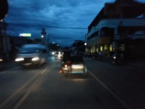
- Street-level photo, asdfasdf0987, CC BY-SA 4.0
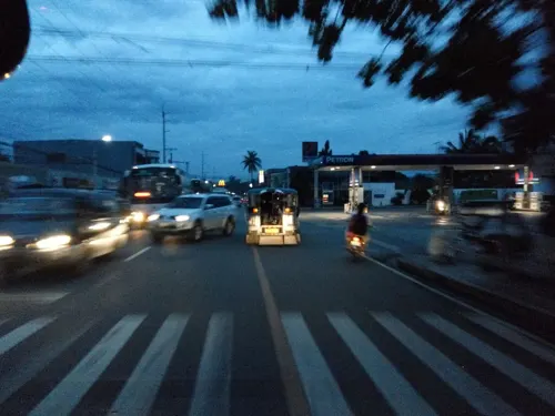
- Street-level photo, asdfasdf0987, CC BY-SA 4.0
- Street-level photo, asdfasdf0987, CC BY-SA 4.0
- Street-level photo, asdfasdf0987, CC BY-SA 4.0
- Street-level photo, asdfasdf0987, CC BY-SA 4.0
- Street-level photo, asdfasdf0987, CC BY-SA 4.0
- Street-level photo, asdfasdf0987, CC BY-SA 4.0
- Street-level photo, asdfasdf0987, CC BY-SA 4.0
- Street-level photo, asdfasdf0987, CC BY-SA 4.0
- Street-level photo, asdfasdf0987, CC BY-SA 4.0
- Street-level photo, asdfasdf0987, CC BY-SA 4.0
Page built November 7, 2026. Spotted a mistake? Tell us or suggest a place.