


Quezon, Philippines
Quezon is a town of 9,485 people in Cagayan Valley, Philippines, founded in August 11, 1962.
Why visit Quezon
Townapedia lists 3 parks and trails and 1 place to eat in and around town.
Weather in Quezon
Forecast from MET Norway (CC BY 4.0). Full forecast
About Quezon
Quezon, officially the Municipality of Quezon (Ibanag: Ili nat Quezon; Ilocano: Ili ti Quezon; Tagalog: Bayan ng Quezon), is a municipality in the province of Isabela, Philippines. According to the 2024 census, it has a population of 28,376 people.
From the Wikipedia article Quezon, Isabela (this version), under CC BY-SA 4.0.
Parks, trails and playgrounds3

Restaurants and cafes1
Churches and places of worship7

Gas and EV charging6
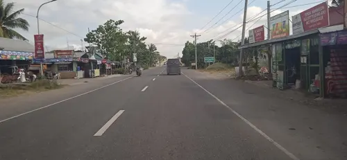
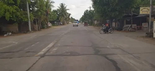
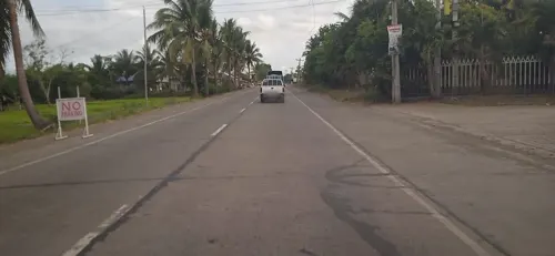
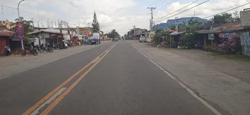


History
Prior to its creation, Quezon was once part of a vast track of agricultural land called the Mallig Plains and was sparsely populated. Historians believe that its earliest inhabitants were the Igorots and the Kalingas of the Cordilleras as well as the Irrayas. Although the Igorots and the Kalingas are primarily upland dwellers, historians have observed that these natives come down from the highlands from time to time to hunt for low-landers especially the Kanyaw rituals. The site of Quezon the location of a Spanish mission called Nalabangan which was established on 24 May 1598 but vanished from historical records not long afterwards.
When Manuel L. Quezon was elected as the President of the Philippine Commonwealth, one of his administration's main programs was to promote development in the other areas in the country aside from Manila. In order to achieve this objective, President Quezon opened up vast uninhabited areas for settlement hoping that these would be developed by those who will decide to settle in those areas. Aside from Mindanao, other parts of Luzon were similarly offered for settlement and development including the province of Isabela, particularly the north-western portion of the province which was later called Mallig Plains.
From the History section of Quezon, Isabela on Wikipedia, under CC BY-SA 4.0.
Schools, colleges and libraries30
Healthcare1
Map of Quezon
48 places. The map loads OpenStreetMap tiles when you open it.
Getting there and nearby towns
Tuguegarao Airport (TUG) is the nearest airport with scheduled flights listed in OpenStreetMap, 39 km away.
- Tabuk 21 km northwest, about 21 min by car
- Cabagan 21 km northeast, about 21 min by car
- Roxas 22 km south, about 22 min by car
- Ilagan 35 km southeast, about 35 min by car
- Tuguegarao 36 km north, about 36 min by car
- Solana 39 km north, about 39 min by car
- Alicia 60 km south, about 1 h by car
- Ramon 59 km south, about 59 min by car
- Santiago 70 km south, about 1 h 15 min by car
- Bontoc 71 km west, about 1 h 15 min by car
Drive times are estimates from straight-line distance, not routes.
Local news
Headlines from INDB.
Reviews, tips and questions
Loading what members have shared...
Sources and licences
- GeoNames (CC BY 4.0): population, coordinates, regions and time zone
- Mapillary (see each image): photos
- OpenStreetMap contributors (ODbL 1.0): places, airports, map data
- Wikidata (CC0 1.0): elevation, founding date, time zone, website
- Wikimedia Commons (see each image): photos
- Wikipedia (CC BY-SA 4.0): overview and history text
Photo credits
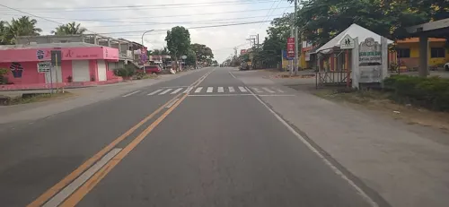
- St. John Bosco Church in Quezon, Isabela, Hjdomingo, Public domain
- ISS047-E-46592 - View of Earth, Earth Science and Remote Sensing Unit , Lyndon B. Johnson Space Center, Public domain
- ISS026-E-16409 - View of Earth, Earth Science and Remote Sensing Unit , Lyndon B. Johnson Space Center, Public domain
- ISS047-E-46593 - View of Earth, Earth Science and Remote Sensing Unit , Lyndon B. Johnson Space Center, Public domain
- ISS047-E-46595 - View of Earth, Earth Science and Remote Sensing Unit , Lyndon B. Johnson Space Center, Public domain
- ISS047-E-46594 - View of Earth, Earth Science and Remote Sensing Unit , Lyndon B. Johnson Space Center, Public domain
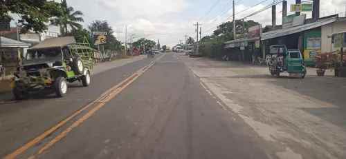
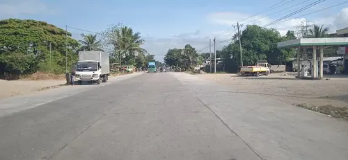
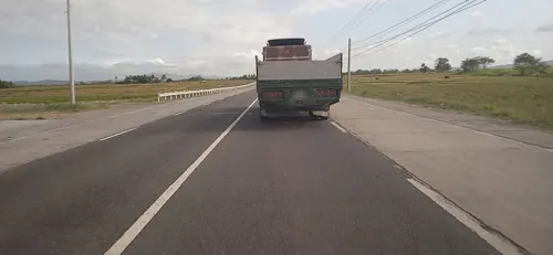
- Street-level photo, mdgabriel, CC BY-SA 4.0
- Street-level photo, mdgabriel, CC BY-SA 4.0
- Street-level photo, mdgabriel, CC BY-SA 4.0
- Street-level photo, mdgabriel, CC BY-SA 4.0
- Street-level photo, mdgabriel, CC BY-SA 4.0
- Street-level photo, mdgabriel, CC BY-SA 4.0
- Street-level photo, mdgabriel, CC BY-SA 4.0
- Street-level photo, mdgabriel, CC BY-SA 4.0
Page built November 7, 2026. Spotted a mistake? Tell us or suggest a place.