


San Antonio, Philippines
San Antonio is a town of 2,259 people in Calabarzon, Philippines, founded in October 4, 1957.
Why visit San Antonio
Townapedia lists 10 museums and landmarks, 15 parks and trails, 72 places to eat, 11 places to stay and 7 attractions in and around town.
Highlights include Ditanan Hill, Claro Recto y Mayo and Sunshine Farm Philippines.
Weather in San Antonio
Forecast from MET Norway (CC BY 4.0). Full forecast
About San Antonio
San Antonio, officially the Municipality of San Antonio (Tagalog: Bayan ng San Antonio), is a municipality in the province of Quezon, Philippines. According to the 2024 census, it has a population of 36,451 people.
From the Wikipedia article San Antonio, Quezon (this version), under CC BY-SA 4.0.
Things to do7


Museums and landmarks10

Claro Recto y Mayo
Monument and historic site · 7.8 km
Don V. Robles Avenue, Tiaong

Moises Amat Escueta
Monument and historic site · 7.8 km
Don V. Robles Avenue, Tiaong

Hardin ng Presa (Garden of Strawberry)
Monument and historic site · 9.8 km
San Benito (West), Lipa City
Marcial C. Punzalan, Jr.
Monument and historic site · 7.8 km
Don V. Robles Avenue, Tiaong


Parks, trails and playgrounds15
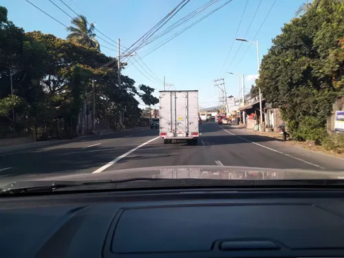
Sunshine Farm Philippines
Park · 10.2 km
Maharlika Highway, Tiaong
Mo-Su 08:00-17:00


3 more on the map.
Restaurants and cafes72

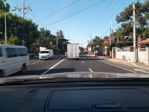
Winnie Eatery & Lomi Haus
Restaurant · 6.4 km
Batangas-Quezon Road
Mo-Sa 07:00-17:00
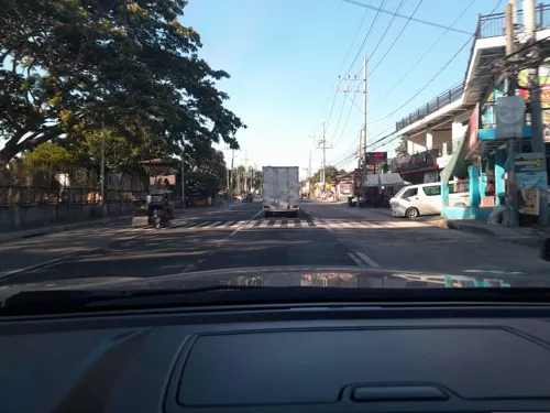
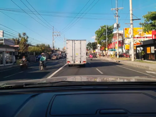


60 more on the map.
History
Buliran, a barangay of the present-day municipality of San Antonio, is a progressive one at its western part. Its history is still unknown to many people, which were told by two aged persons by the name of Hermogina Quizon and Venancio Ilagan. According to them this barrio was named Bulihan. When they inhabited the place, they found the place a big area and crowded with tall cogon, talahib and amorsiko grasses, wild vines and giant-like trees along the river. The first people to inhabit the place were from the western part of the place or Batangueño who witnessed the wild animals loitering around. They were also the inhabitants who cultivated the land in spite of the fear they feel when this barrio was inhabited by the outlaws headed by Kolas Igat.
This place which was the hideout of the outlaws was named "Impierno," which literally translates to hell, based on the killings of the prisoners of Kolas lgat. Kolas Igat and his men frequented the municipalities of San Pablo, Tiaong, Candelaria, San Juan, Padre Garcia and those who did not obey his orders were made prisoners and sentenced to death at "Impierno". Because of the many lives seized by the outlaw leader, the place was called "Buliran".
From the History section of San Antonio, Quezon on Wikipedia, under CC BY-SA 4.0.
Where to stay11
Churches and places of worship28
Iglesia Filipina Independiente Chapel
Church · Iglesia Filipina Independiente · 10.2 km
Lipa-Rosario Road
Saint John the Baptist Parish
Church · Roman Catholic · 8.1 km
J. P. Rizal Street
Shopping14
Gas and EV charging37
Schools, colleges and libraries134
Holy Trinity School of Padre Garcia, Batangas
School · Roman Catholic · 8.2 km
J. P. Rizal Street, Padre Garcia
MKA College and Institute of Technology
School · 8.2 km
Rosario-San Juan Road, Rosario
Cabay National High School
School · 9.4 km
Marcial C. Punzalan Jr. Highway, Tiaong
Healthcare13
Truly Rich Clinical Laboratory & Diagnostic Center
Clinic and pharmacy · 8.6 km
J. P. Rizal Street, Padre Garcia
Augustus Caesar K. Apalisok, M.D./Ambrosio Beshearse, M.D
Clinic and pharmacy · 8.7 km
Map of San Antonio
250 places. The map loads OpenStreetMap tiles when you open it.
Getting there and nearby towns
Ninoy Aquino International Airport (MNL) is the nearest airport with scheduled flights listed in OpenStreetMap, 75 km away.
- Lipa City 15 km west, about 15 min by car
- Candelaria 15 km east, about 15 min by car
- San Pablo 19 km north, about 19 min by car
- Alaminos 19 km north, about 19 min by car
- Del Remedio 21 km north, about 21 min by car
- Malvar 22 km northwest, about 22 min by car
- Tanauan 26 km northwest, about 26 min by car
- Sariaya 27 km east, about 27 min by car
- Cuenca 26 km west, about 26 min by car
- Calauan 28 km north, about 28 min by car
Drive times are estimates from straight-line distance, not routes.
Local news
Headlines from INDB.
Reviews, tips and questions
Loading what members have shared...
Sources and licences
- GeoNames (CC BY 4.0): population, coordinates, regions and time zone
- Mapillary (see each image): photos
- OpenStreetMap contributors (ODbL 1.0): places, airports, map data
- Wikidata (CC0 1.0): elevation, founding date, time zone, website, landmarks and historic places
- Wikimedia Commons (see each image): photos
- Wikipedia (CC BY-SA 4.0): overview and history text
Photo credits
- SanAntonioQuezonjf0237 29, Ramon FVelasquez, CC BY-SA 3.0
- San Antonio Municipal Hall, Quezon, Aug 2025, Ralff Nestor Nacor, CC BY-SA 4.0
- Juanito C. Wagan Building, San Antonio, Quezon, Aug 2025, Ralff Nestor Nacor, CC BY-SA 4.0
- San Antonio Tourist Information and Assistance Center, Quezon, Aug 2025, Ralff Nestor Nacor, CC BY-SA 4.0
- Juanito C. Wagan Monument, San Antonio, Quezon, Aug 2025, Ralff Nestor Nacor, CC BY-SA 4.0
- Manuel S. Enverga Institute Foundation Inc., San Antonio, Quezon, Aug 2025, Ralff Nestor Nacor, CC BY-SA 4.0
- H. Quizon St., San Antonio, Quezon, Aug 2025, Ralff Nestor Nacor, CC BY-SA 4.0
- San Antonio Cultural & Sports Center, Quezon, Aug 2025, Ralff Nestor Nacor, CC BY-SA 4.0
- Sacred Heart of Jesus Parish Church, San Antonio, Quezon, Aug 2025 (1), Ralff Nestor Nacor, CC BY-SA 4.0
- Tiaong-Lipa Road in San Antonio, Quezon, Aug 2025 (2), Ralff Nestor Nacor, CC BY-SA 4.0
- Tiaong-Lipa Road in San Antonio, Quezon, Aug 2025 (1), Ralff Nestor Nacor, CC BY-SA 4.0
- Sacred Heart of Jesus Parish Church, San Antonio, Quezon, Aug 2025 (2), Ralff Nestor Nacor, CC BY-SA 4.0
- Dimayuga Park, San Antonio, Quezon, Aug 2025, Ralff Nestor Nacor, CC BY-SA 4.0
- Claro Mayo y Recto (1890 - 1960) NHCP Historical Marker, Kej Andrés (Ryomaandres), CC BY-SA 4.0
- SanJuan,BatangasChurchjf8199 13, Ramon FVelasquez, CC BY-SA 3.0
- Our Lady of the Most Holy Rosary Parish, Jamideleon, CC BY-SA 3.0
- ISS045-E-178742 - View of Earth, Earth Science and Remote Sensing Unit , Lyndon B. Johnson Space Center, Public domain
- ISS045-E-178743 - View of Earth, Earth Science and Remote Sensing Unit , Lyndon B. Johnson Space Center, Public domain
- Tiaong-Lipa Road in Tiaong Town Proper, Quezon, Aug 2025, Ralff Nestor Nacor, CC BY-SA 4.0
- Maharlika Highway, Tiaong, Quezon, Aug 2025 (1), Ralff Nestor Nacor, CC BY-SA 4.0
- Moises Escueta Ala-ala Park, Tiaong, Quezon, Aug 2025 (1), Ralff Nestor Nacor, CC BY-SA 4.0
- Moises Amat Escueta Bust, Tiaong, Quezon, Aug 2025, Ralff Nestor Nacor, CC BY-SA 4.0
- Moises Escueta Ala-ala Park, Tiaong, Quezon, Aug 2025 (2), Ralff Nestor Nacor, CC BY-SA 4.0
- Rizal St., Tiaong, Quezon, Aug 2025, Ralff Nestor Nacor, CC BY-SA 4.0
- Casa de Despedida de San Juan Bautista, Tiaong, Quezon, Aug 2025, Ralff Nestor Nacor, CC BY-SA 4.0
- St. John Parochial School, Tiaong, Quezon, Aug 2025, Ralff Nestor Nacor, CC BY-SA 4.0
- Tiaong Church, Quezon, Aug 2025 (1), Ralff Nestor Nacor, CC BY-SA 4.0
- Tiaong Plaza, Quezon, Aug 2025 (1), Ralff Nestor Nacor, CC BY-SA 4.0
- Fr. A.D. Palma Bust, Tiaong, Quezon, Aug 2025, Ralff Nestor Nacor, CC BY-SA 4.0
- Tiaong Plaza, Quezon, Aug 2025 (2), Ralff Nestor Nacor, CC BY-SA 4.0
- Tiaong Church Prayer House, Quezon, Aug 2025, Ralff Nestor Nacor, CC BY-SA 4.0
- Tiaong Church, Quezon, Aug 2025 (3), Ralff Nestor Nacor, CC BY-SA 4.0
- Tiaong Church, Quezon, Aug 2025 (4), Ralff Nestor Nacor, CC BY-SA 4.0
- BGen. Vicente S. Umali Bust, Tiaong, Quezon, Aug 2025, Ralff Nestor Nacor, CC BY-SA 4.0
- BGen. Vicente S. Umali Historical Marker, Tiaong, Quezon, Ralff Nestor Nacor, CC BY-SA 4.0
- Tiaong Church, Quezon, Aug 2025 (2), Ralff Nestor Nacor, CC BY-SA 4.0
- Doña Concha Umali Ancestral House, Tiaong, Quezon, Aug 2025 (2), Ralff Nestor Nacor, CC BY-SA 4.0
- Doña Concha Umali Ancestral House, Tiaong, Quezon, Aug 2025 (1), Ralff Nestor Nacor, CC BY-SA 4.0
- Maharlika Highway, Tiaong, Quezon, Aug 2025 (2), Ralff Nestor Nacor, CC BY-SA 4.0
- Padre Garcia Church Bell Tower, Batangas, Aug 2025, Ralff Nestor Nacor, CC BY-SA 4.0
- Moises Amat Escueta Historical Marker, Tiaong, Quezon, Ralff Nestor Nacor, CC BY-SA 4.0
- Padre Vicente Garcia Historical Marker, Padre Garcia, Batangas, Ralff Nestor Nacor, CC BY-SA 4.0
- Street-level photo, ericb1983, CC BY-SA 4.0
- Street-level photo, ericb1983, CC BY-SA 4.0
- Street-level photo, ericb1983, CC BY-SA 4.0
- Street-level photo, ericb1983, CC BY-SA 4.0
- Street-level photo, ericb1983, CC BY-SA 4.0
- Street-level photo, ericb1983, CC BY-SA 4.0
- Street-level photo, ericb1983, CC BY-SA 4.0
- Street-level photo, ericb1983, CC BY-SA 4.0
- Street-level photo, ericb1983, CC BY-SA 4.0
- Street-level photo, ericb1983, CC BY-SA 4.0
- Street-level photo, ericb1983, CC BY-SA 4.0
- Street-level photo, ericb1983, CC BY-SA 4.0
- Street-level photo, ericb1983, CC BY-SA 4.0
- Street-level photo, ericb1983, CC BY-SA 4.0
- Street-level photo, ericb1983, CC BY-SA 4.0
- Street-level photo, ericb1983, CC BY-SA 4.0


Page built November 7, 2026. Spotted a mistake? Tell us or suggest a place.