


San Isidro, Philippines
San Isidro is a town of 4,061 people in Central Luzon, Philippines.
Loading the weather...
Population4,061
GeoNames
RegionCentral Luzon
Elevation51 m
167 ft
Time zoneAsia/Manila
Nearest airportClark International Airport (CRK)
10 km
Why visit San Isidro
Townapedia lists 1 place to eat and 3 places to stay in and around town.
Weather in San Isidro
Forecast from MET Norway (CC BY 4.0). Full forecast
Restaurants and cafes1
Where to stay3

Churches and places of worship12




Advertisement
Shopping2


Gas and EV charging7
Schools, colleges and libraries11
Advertisement
Healthcare3
Map of San Isidro
39 places. The map loads OpenStreetMap tiles when you open it.
Getting there and nearby towns
Clark International Airport (CRK) is the nearest airport with scheduled flights listed in OpenStreetMap, 10 km away.
- Magalang 3 km southeast, about 3 min by car
- Mabalacat City 8 km west, about 8 min by car
- Concepcion 10 km north, about 10 min by car
- Angeles City 11 km southwest, about 11 min by car
- Capas 12 km northwest, about 12 min by car
- Arayat 17 km southeast, about 17 min by car
- Santa Ana 21 km southeast, about 21 min by car
- Porac 21 km southwest, about 21 min by car
- San Fernando 23 km south, about 23 min by car
- Cabiao 23 km east, about 23 min by car
Drive times are estimates from straight-line distance, not routes.
Local news
Headlines from INDB.
Reviews, tips and questions
Loading what members have shared...
Sources and licences
- GeoNames (CC BY 4.0): population, coordinates, regions and time zone
- Mapillary (see each image): photos
- OpenStreetMap contributors (ODbL 1.0): places, airports, map data
- Wikidata (CC0 1.0): elevation, founding date, time zone, website
- Wikimedia Commons (see each image): photos
Photo credits
- Magalang Drone Shot, BRIA Home Inc., CC BY-SA 4.0
- Santo Rosario, Phase 1, Magalang, Pampanga, Philippines - panoramio (4), miguel jaime Valcarc…, CC BY 3.0
- Santo Rosario, Phase 1, Magalang, Pampanga, Philippines - panoramio (3), miguel jaime Valcarc…, CC BY 3.0
- Santo Rosario, Phase 1, Magalang, Pampanga, Philippines - panoramio (2), miguel jaime Valcarc…, CC BY 3.0
- Santo Rosario, Phase 1, Magalang, Pampanga, Philippines - panoramio, miguel jaime Valcarc…, CC BY 3.0
- Important Cultural Property declaration marker for Magalang Church, Judgefloro, CC0
- 758Magalang Heritage District Pampanga 47, Judgefloro, CC0
- 758Magalang Heritage District Pampanga 11, Judgefloro, CC0
- 9496Santo Niño San Nicolas Magalang Pampanga Landmarks 17, Judgefloro, CC0
- 9545San Nicolas Magalang Pampanga Landmarks 24, Judgefloro, CC0
- 8704San Nicolas Magalang, Pampanga landmarks 37, Judgefloro, CC0
- 8809Magalang Angeles City Pampanga Landmarks 25, Judgefloro, CC0
- 9496Santo Niño San Nicolas Magalang Pampanga Landmarks 10, Judgefloro, CC0
- 9655San Nicolas Magalang Pampanga Landmarks 30, Judgefloro, CC0
- 8792Magalang Angeles City Pampanga Landmarks 08, Judgefloro, CC0
- 9601San Nicolas Magalang Pampanga Landmarks 06, Judgefloro, CC0
- 9737San Nicolas Magalang Pampanga Landmarks 30, Judgefloro, CC0
- 750 San Bartolome Parish Church of Magalang 08, Judgefloro, CC0
- 8792Magalang Angeles City Pampanga Landmarks 16, Judgefloro, CC0
- 9496Santo Niño San Nicolas Magalang Pampanga Landmarks 36, Judgefloro, CC0
- 8664San Nicolas Magalang, Pampanga landmarks 25, Judgefloro, CC0
- 750 San Bartolome Parish Church of Magalang 04, Judgefloro, CC0
- 806Magalang Heritage District Pampanga 10, Judgefloro, CC0
- 8630San Nicolas Magalang, Pampanga landmarks 28, Judgefloro, CC0
- 9496Santo Niño San Nicolas Magalang Pampanga Landmarks 15, Judgefloro, CC0
- 9737San Nicolas Magalang Pampanga Landmarks 05, Judgefloro, CC0
- 8704San Nicolas Magalang, Pampanga landmarks 06, Judgefloro, CC0
- 9601San Nicolas Magalang Pampanga Landmarks 34, Judgefloro, CC0
- 9601San Nicolas Magalang Pampanga Landmarks 32, Judgefloro, CC0
- 699San Bartolome Parish Church of Magalang 40, Judgefloro, CC0
- 8809Magalang Angeles City Pampanga Landmarks 33, Judgefloro, CC0
- 8866San Nicolas Magalang Pampanga Landmarks 03, Judgefloro, CC0
- 8664San Nicolas Magalang, Pampanga landmarks 28, Judgefloro, CC0
- 699San Bartolome Parish Church of Magalang 10, Judgefloro, CC0
- 806Magalang Heritage District Pampanga 07, Judgefloro, CC0
- 758Magalang Heritage District Pampanga 09, Judgefloro, CC0
- 9545San Nicolas Magalang Pampanga Landmarks 37, Judgefloro, CC0
- 9655San Nicolas Magalang Pampanga Landmarks 35, Judgefloro, CC0
- 8630San Nicolas Magalang, Pampanga landmarks 27, Judgefloro, CC0
- 9496Santo Niño San Nicolas Magalang Pampanga Landmarks 34, Judgefloro, CC0
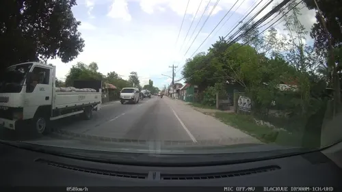
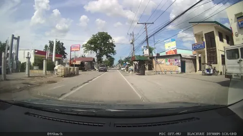
- Street-level photo, kaart_2, CC BY-SA 4.0
- Street-level photo, kaart_2, CC BY-SA 4.0
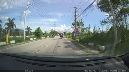
- Street-level photo, kaart_2, CC BY-SA 4.0
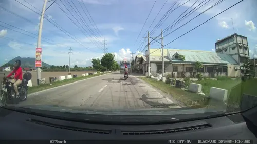
- Street-level photo, kaart_2, CC BY-SA 4.0
- Street-level photo, kaart_2, CC BY-SA 4.0
- Street-level photo, kaart_2, CC BY-SA 4.0
- Street-level photo, kaart_2, CC BY-SA 4.0
- Street-level photo, kaart_2, CC BY-SA 4.0
- Street-level photo, kaart_2, CC BY-SA 4.0


Page built November 7, 2026. Spotted a mistake? Tell us or suggest a place.