


Why visit San Juan
Townapedia lists 1 museum or landmark, 17 places to eat and 2 attractions in and around town.
Highlights include Mapait Hills.
Weather in San Juan
Forecast from MET Norway (CC BY 4.0). Full forecast
Things to do2

Museums and landmarks1

Restaurants and cafes17
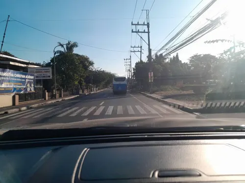
Ka Pableng Malunggay Pandesal
Bakery · 1.6 km
Marcelo H. del Pilar Avenue, Alaminos
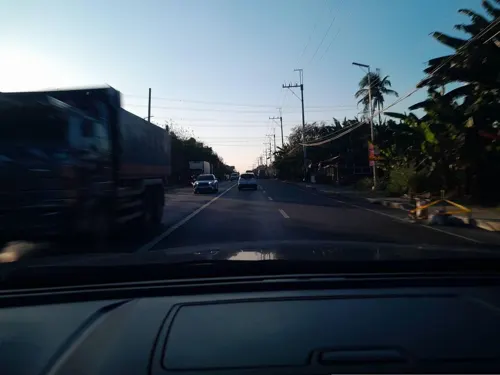
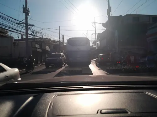
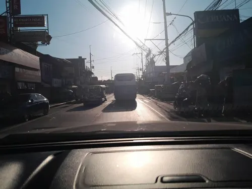
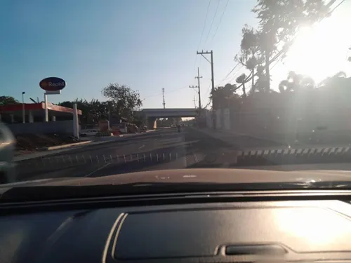
Raygem "Double B" Binalot sa Dahon
Restaurant · 0.9 km
Maharlika Highway, Alaminos
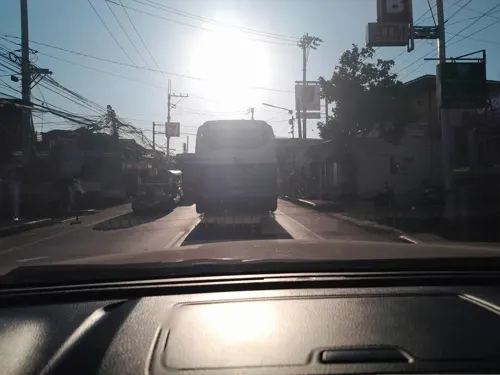
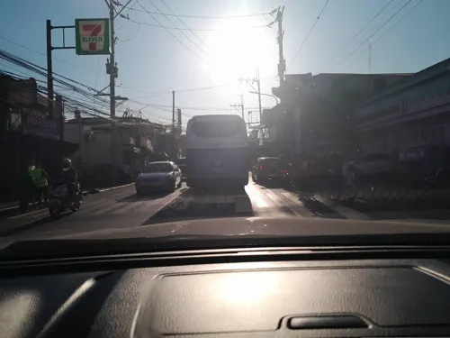
5 more on the map.
Churches and places of worship9
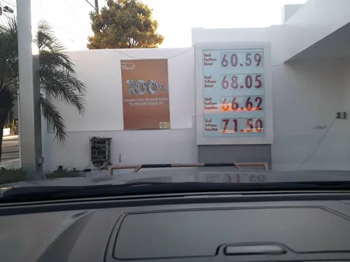
Iglesia ni Cristo - Lokal ng Alaminos
Church · Iglesia Ni Cristo · 1.1 km
Maharlika Highway, Alaminos
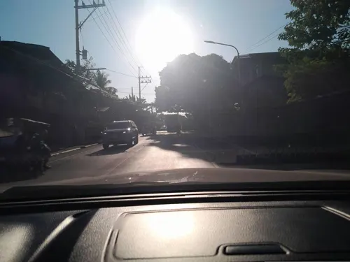
Iglesia ni Cristo - Lokal ng Poblacion
Church · Iglesia Ni Cristo · 2.2 km
Marcelo H. del Pilar Avenue

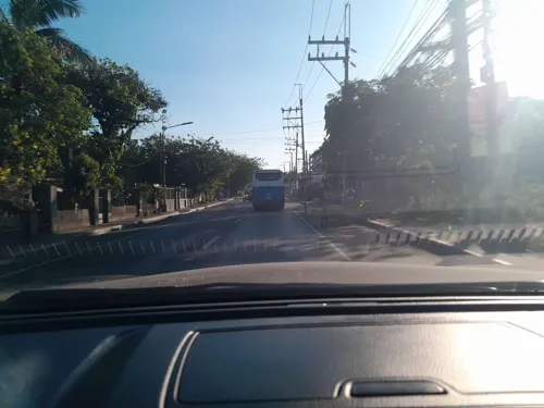
Pentecostal Missionary Church of Christ (4th Watch)
Church · Pentecostal · 1.6 km
Marcelo H. del Pilar Avenue, Alaminos
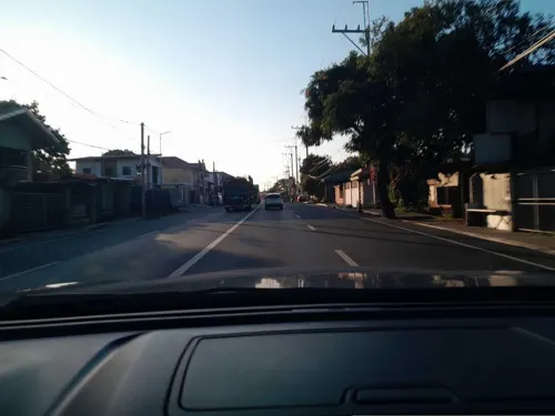
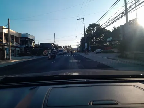
The Church of Jesus Christ of Latter-day Saints
Church · Mormon · 1.0 km
Maharlika Highway, Alaminos



Shopping7
Lyn's Aluminum & Glass Supply
Hardware store · 2.0 km
Marcelo H. del Pilar Avenue, Alaminos
Gas and EV charging11
Schools, colleges and libraries10
Maranatha Christian Academy
School · 1.6 km
Marcelo H. del Pilar Avenue, Alaminos
Marcelino Fule Memorial College
School · 2.3 km
Marcelo H. del Pilar Avenue, Alaminos
Healthcare5
Saint Odile Surgicenter
Clinic and pharmacy · 2.1 km
Marcelo H. del Pilar Avenue, Alaminos
Map of San Juan
62 places. The map loads OpenStreetMap tiles when you open it.
Getting there and nearby towns
Ninoy Aquino International Airport (MNL) is the nearest airport with scheduled flights listed in OpenStreetMap, 56 km away.
- Alaminos 2 km east, about 2 min by car
- Malvar 8 km west, about 8 min by car
- Tanauan 9 km west, about 9 min by car
- San Pablo 10 km east, about 10 min by car
- Del Remedio 9 km east, about 9 min by car
- Santo Tomas 11 km northwest, about 11 min by car
- Los Baños 13 km north, about 13 min by car
- Calauan 14 km northeast, about 14 min by car
- Lipa City 15 km southwest, about 15 min by car
- Bay 15 km northeast, about 15 min by car
Drive times are estimates from straight-line distance, not routes.
Local news
Headlines from INDB.
Reviews, tips and questions
Loading what members have shared...
Sources and licences
- GeoNames (CC BY 4.0): population, coordinates, regions and time zone
- Mapillary (see each image): photos
- OpenStreetMap contributors (ODbL 1.0): places, airports, map data
- Wikidata (CC0 1.0): elevation, founding date, time zone, website
- Wikimedia Commons (see each image): photos
Photo credits
- 8Alaminos, Laguna National Highway 27, Judgefloro, CC0
- 8Alaminos, Laguna National Highway 22, Judgefloro, CC0
- 8Alaminos, Laguna National Highway 38, Judgefloro, CC0
- 8Alaminos, Laguna National Highway 33, Judgefloro, CC0
- 68Alaminos, Laguna National Highway 17, Judgefloro, CC0
- 8Alaminos, Laguna National Highway 17, Judgefloro, CC0
- 8Alaminos, Laguna National Highway 36, Judgefloro, CC0
- 8Alaminos, Laguna National Highway 52, Judgefloro, CC0
- 68Alaminos, Laguna National Highway 01, Judgefloro, CC0
- 68Alaminos, Laguna National Highway 13, Judgefloro, CC0
- 8Alaminos, Laguna National Highway 55, Judgefloro, CC0
- 8Alaminos, Laguna National Highway 19, Judgefloro, CC0
- 8Alaminos, Laguna National Highway 15, Judgefloro, CC0
- 8Alaminos, Laguna National Highway 16, Judgefloro, CC0
- 8Alaminos, Laguna National Highway 48, Judgefloro, CC0
- 8Alaminos, Laguna National Highway 28, Judgefloro, CC0
- 68Alaminos, Laguna National Highway 12, Judgefloro, CC0
- 8Alaminos, Laguna National Highway 07, Judgefloro, CC0
- 8Alaminos, Laguna National Highway 23, Judgefloro, CC0
- 8Alaminos, Laguna National Highway 05, Judgefloro, CC0
- 68Alaminos, Laguna National Highway 14, Judgefloro, CC0
- 8Alaminos, Laguna National Highway 29, Judgefloro, CC0
- 8Alaminos, Laguna National Highway 04, Judgefloro, CC0
- 8Alaminos, Laguna National Highway 13, Judgefloro, CC0
- 8Alaminos, Laguna National Highway 06, Judgefloro, CC0
- 8Alaminos, Laguna National Highway 37, Judgefloro, CC0
- 8Alaminos, Laguna National Highway 35, Judgefloro, CC0
- 8Alaminos, Laguna National Highway 34, Judgefloro, CC0
- 8Alaminos, Laguna National Highway 41, Judgefloro, CC0
- 8Alaminos, Laguna National Highway 12, Judgefloro, CC0
- 8Alaminos, Laguna National Highway 45, Judgefloro, CC0
- 8Alaminos, Laguna National Highway 14, Judgefloro, CC0
- 8Alaminos, Laguna National Highway 50, Judgefloro, CC0
- 68Alaminos, Laguna National Highway 03, Judgefloro, CC0
- 68Alaminos, Laguna National Highway 04, Judgefloro, CC0
- 8Alaminos, Laguna National Highway 56, Judgefloro, CC0
- 8Alaminos, Laguna National Highway 03, Judgefloro, CC0
- 8Alaminos, Laguna National Highway 02, Judgefloro, CC0
- 68Alaminos, Laguna National Highway 16, Judgefloro, CC0
- 68Alaminos, Laguna National Highway 15, Judgefloro, CC0
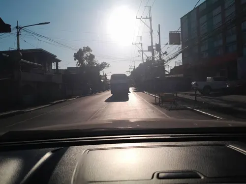
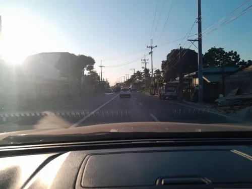
- Street-level photo, ericb1983, CC BY-SA 4.0
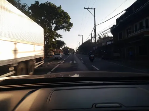
- Street-level photo, ericb1983, CC BY-SA 4.0
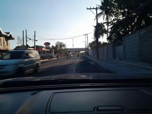
- Street-level photo, ericb1983, CC BY-SA 4.0
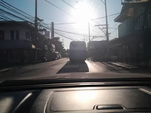
- Street-level photo, ericb1983, CC BY-SA 4.0
- Street-level photo, ericb1983, CC BY-SA 4.0
- Street-level photo, ericb1983, CC BY-SA 4.0
- Street-level photo, ericb1983, CC BY-SA 4.0
- Street-level photo, ericb1983, CC BY-SA 4.0
- Street-level photo, ericb1983, CC BY-SA 4.0
- Street-level photo, ericb1983, CC BY-SA 4.0
- Street-level photo, ericb1983, CC BY-SA 4.0
- Street-level photo, ericb1983, CC BY-SA 4.0
- Street-level photo, ericb1983, CC BY-SA 4.0
- Street-level photo, ericb1983, CC BY-SA 4.0
- Street-level photo, ericb1983, CC BY-SA 4.0
- Street-level photo, ericb1983, CC BY-SA 4.0
- Street-level photo, ericb1983, CC BY-SA 4.0
- Street-level photo, ericb1983, CC BY-SA 4.0
- Street-level photo, ericb1983, CC BY-SA 4.0
- Street-level photo, ericb1983, CC BY-SA 4.0
- Street-level photo, ericb1983, CC BY-SA 4.0
- Street-level photo, ericb1983, CC BY-SA 4.0
- Street-level photo, ericb1983, CC BY-SA 4.0
- Street-level photo, ericb1983, CC BY-SA 4.0
- Street-level photo, ericb1983, CC BY-SA 4.0
- Street-level photo, ericb1983, CC BY-SA 4.0
- Street-level photo, ericb1983, CC BY-SA 4.0
- Street-level photo, ericb1983, CC BY-SA 4.0
- Street-level photo, ericb1983, CC BY-SA 4.0
- Street-level photo, ericb1983, CC BY-SA 4.0
- Street-level photo, ericb1983, CC BY-SA 4.0


Page built November 7, 2026. Spotted a mistake? Tell us or suggest a place.