


Santa Ana, Philippines
Santa Ana is a town of 6,315 people in Cagayan Valley, Philippines.
Why visit Santa Ana
Townapedia lists 2 museums and landmarks, 7 parks and trails, 4 places to eat, 10 places to stay and 18 attractions in and around town.
Highlights include Cape Engaño Lighthouse, Marede Hill and Engano Cove.
Weather in Santa Ana
Forecast from MET Norway (CC BY 4.0). Full forecast
About Santa Ana
Santa Ana, officially the Municipality of Santa Ana (Ibanag: Ili nat Santa Ana; Ilocano: Ili ti Santa Ana; Tagalog: Bayan ng Santa Ana), is a municipality in the province of Cagayan, Philippines. According to the 2024 census, it has a population of 34,595 people.
From the Wikipedia article Santa Ana, Cagayan (this version), under CC BY-SA 4.0.
Travel tips from other travellers: Santa Ana on Wikivoyage (CC BY-SA 4.0).
Things to do18
Cape Engaño Lighthouse
Lighthouse · 12.3 km
Lighthouse on Palaui Island, Philippines

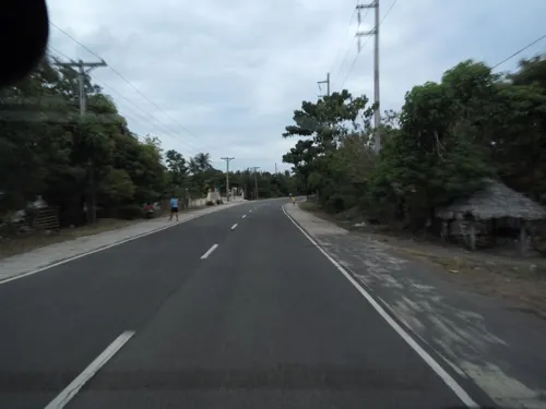

6 more on the map.
Museums and landmarks2

Parks, trails and playgrounds7

Restaurants and cafes4
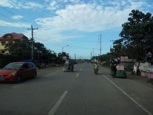




History
The first inhabitants of the region were Negritos and hacheros (woodcutters) under Don Julián Astigarraga (Capitán Vasco, 1854-1901) of Aparri. Some fishermen from Minanga came and settled in Palawig. In 1891, Felipe Agarpao organized a gimong (society) called Inanama with some settlers. The purpose of the organization was to acquire and occupy land in the area. That same year, Briccio Campañano of Lapog, Ilocos Sur and others from Ilocos came to Palawig to apply for homesteads in the sitio of Marede. These settlers organized another gimong called Dagupan.
In 1900, the woodcutters from Aparri arrived by boat. The clearing of forests began shortly after.
From 1919 to 1935, several groups of settlers from the Ilocos Region came to claim territory aboard virays (light boats). The once-forested areas were only accessible via rivers and the sea. Before reaching settlements in the northern and eastern portions of the region, they had to navigate along the Palawig River.
The name Palawig was coined from the local term pasawig, meaning “river mouth”.
From the History section of Santa Ana, Cagayan on Wikipedia, under CC BY-SA 4.0.
Where to stay10
Churches and places of worship9
Shopping5
Gas and EV charging4
Schools, colleges and libraries25
Healthcare2
Map of Santa Ana
86 places. The map loads OpenStreetMap tiles when you open it.
Getting there and nearby towns
Cagayan North International Airport (LLC) is the nearest airport with scheduled flights listed in OpenStreetMap, 53 km away.
- San Vicente 4 km north, about 4 min by car
- Casambalangan 11 km south, about 11 min by car
- Cabiraoan 18 km south, about 18 min by car
- Tapel 24 km southwest, about 24 min by car
- Gonzaga 28 km southwest, about 28 min by car
- Santa Teresita 35 km southwest, about 35 min by car
- Buguey 39 km southwest, about 39 min by car
- Pattao 43 km southwest, about 43 min by car
- Paddaya 44 km southwest, about 44 min by car
- Paddaya 46 km west, about 46 min by car
Drive times are estimates from straight-line distance, not routes.
Local news
Headlines from INDB.
Reviews, tips and questions
Loading what members have shared...
Sources and licences
- GeoNames (CC BY 4.0): population, coordinates, regions and time zone
- Mapillary (see each image): photos
- OpenStreetMap contributors (ODbL 1.0): places, airports, map data
- Wikidata (CC0 1.0): elevation, founding date, time zone, website, landmarks and historic places
- Wikimedia Commons (see each image): photos
- Wikipedia (CC BY-SA 4.0): overview and history text
Photo credits
- View of the northeast coast of Luzon from the foothills of Mt. Cagua - ZooKeys-266-001-g005, Brown R, Siler C, Oliveros C, Welton L, Rock A, Swab J, Van Weerd M, van Beijnen J, Rodriguez D, Jose E, Diesmos A, CC BY 3.0
- Cape Engaño Lighthouse, Cagayan, Philippines, Bureau of Insular Affairs, War Department, Public domain
- Pacific Ocean View from Light House Top, Palaui Island Cagayan Philippines, Supermanslash, CC BY-SA 3.0
- Life of a day, Ming, CC BY-SA 4.0
- Jagged southwest coastline of Palui Island, Warrendering, CC BY-SA 4.0
- ISS027-E-30723 - View of Earth, Earth Science and Remote Sensing Unit , Lyndon B. Johnson Space Center, Public domain
- ISS045-E-75009 - View of Earth, Earth Science and Remote Sensing Unit , Lyndon B. Johnson Space Center, Public domain
- Discophora ogina (Latreille & Godart 1824) (8670717975), Juan Manuel Sánchez from Galdakao, Basque country (Spain), CC BY-SA 2.0
- Pingasa rubicunda (Warren, 1904) (8743232107), Juan Manuel Sánchez from Galdakao, Basque country (Spain), CC BY-SA 2.0
- Cyana Sp. (Walker, 1854) (8747314356), Juan Manuel Sánchez from Galdakao, Basque country (Spain), CC BY-SA 2.0
- Neurothemis fluctuans - Red Grasshawk (Fabricius, 1773) (8711959871), Juan Manuel Sánchez from Galdakao, Basque country (Spain), CC BY-SA 2.0
- Tanaecia calliphorus (C.& R.Felder, 1863) (8678307970), Juan Manuel Sánchez from Galdakao, Basque country (Spain), CC BY-SA 2.0
- Catochrysops strabo - Nomeolvides - Forget-me-not ( Fabricius, 1793) (8695143440), Juan Manuel Sánchez from Galdakao, Basque country (Spain), CC BY-SA 2.0
- Tanaecia calliphorus II (C.& R.Felder, 1863) (8677198983), Juan Manuel Sánchez from Galdakao, Basque country (Spain), CC BY-SA 2.0
- Saphta divitiosa (S.E. Miller, 1996) (8744347878), Juan Manuel Sánchez from Galdakao, Basque country (Spain), CC BY-SA 2.0
- Catochrysops strabo - Nomeolvides- Forget-me-not (Fabricius, 1793) (8701407378), Juan Manuel Sánchez from Galdakao, Basque country (Spain), CC BY-SA 2.0
- Mallorca Formentor - panoramio, sladky, CC BY-SA 3.0
- Leonardo Trail at Palaui Island, Ervin Malicdem, CC BY-SA 4.0
- Street-level photo, mdgabriel, CC BY-SA 4.0
- Street-level photo, asdfasdf0986, CC BY-SA 4.0
- Street-level photo, asdfasdf0986, CC BY-SA 4.0
- Street-level photo, asdfasdf0986, CC BY-SA 4.0
- Street-level photo, asdfasdf0986, CC BY-SA 4.0
- Street-level photo, asdfasdf0986, CC BY-SA 4.0
- Street-level photo, asdfasdf0986, CC BY-SA 4.0
- Street-level photo, asdfasdf0986, CC BY-SA 4.0
- Street-level photo, asdfasdf0986, CC BY-SA 4.0
- Street-level photo, mdgabriel, CC BY-SA 4.0
- Street-level photo, asdfasdf0986, CC BY-SA 4.0
- Street-level photo, asdfasdf0986, CC BY-SA 4.0
- Street-level photo, mdgabriel, CC BY-SA 4.0


Page built November 7, 2026. Spotted a mistake? Tell us or suggest a place.