


Why visit Tiaong
Townapedia lists 6 museums and landmarks, 4 parks and trails, 24 places to eat and 1 place to stay in and around town.
Highlights include Claro Recto y Mayo and Sunshine Farm Philippines.
Weather in Tiaong
Forecast from MET Norway (CC BY 4.0). Full forecast
Museums and landmarks6

Claro Recto y Mayo
Monument and historic site · 0.7 km
Don V. Robles Avenue, Tiaong



Parks, trails and playgrounds4
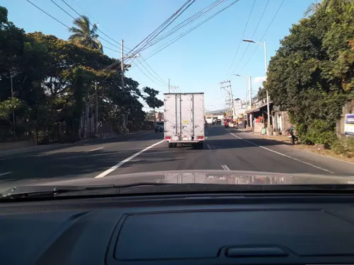
Sunshine Farm Philippines
Park · 2.0 km
Maharlika Highway, Tiaong
Mo-Su 08:00-17:00

Restaurants and cafes24
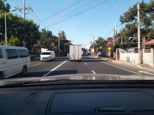
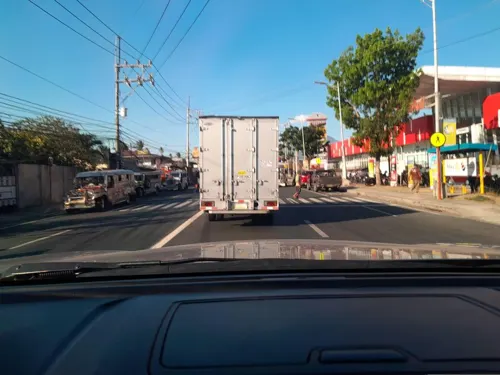
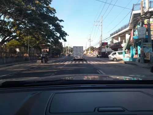
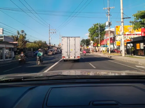



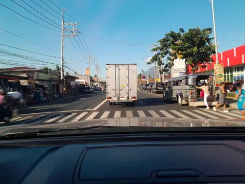
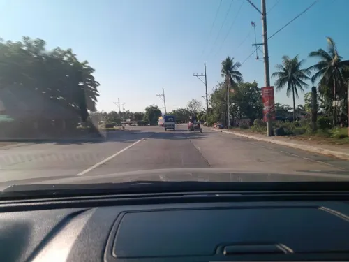


12 more on the map.
Where to stay1

Churches and places of worship3
Shopping5
Gas and EV charging10
Schools, colleges and libraries15
San Isidro National High School
School · 2.5 km
San Isidro - Atisan Road, San Pablo
Healthcare5
Map of Tiaong
73 places. The map loads OpenStreetMap tiles when you open it.
Getting there and nearby towns
Ninoy Aquino International Airport (MNL) is the nearest airport with scheduled flights listed in OpenStreetMap, 69 km away.
- San Pablo 12 km north, about 12 min by car
- Candelaria 12 km east, about 12 min by car
- Alaminos 14 km northwest, about 14 min by car
- Del Remedio 14 km north, about 14 min by car
- Lipa City 17 km west, about 17 min by car
- Malvar 20 km northwest, about 20 min by car
- Calauan 21 km north, about 21 min by car
- Sariaya 22 km east, about 22 min by car
- Tanauan 23 km northwest, about 23 min by car
- Nagcarlan 22 km northeast, about 22 min by car
Drive times are estimates from straight-line distance, not routes.
Local news
Headlines from INDB.
Reviews, tips and questions
Loading what members have shared...
Sources and licences
- GeoNames (CC BY 4.0): population, coordinates, regions and time zone
- Mapillary (see each image): photos
- OpenStreetMap contributors (ODbL 1.0): places, airports, map data
- Wikidata (CC0 1.0): elevation, founding date, time zone, website
- Wikimedia Commons (see each image): photos
Photo credits
- Maharlika Highway, Tiaong, Quezon, Aug 2025 (2), Ralff Nestor Nacor, CC BY-SA 4.0
- Doña Concha Umali Ancestral House, Tiaong, Quezon, Aug 2025 (1), Ralff Nestor Nacor, CC BY-SA 4.0
- Doña Concha Umali Ancestral House, Tiaong, Quezon, Aug 2025 (2), Ralff Nestor Nacor, CC BY-SA 4.0
- BGen. Vicente S. Umali Bust, Tiaong, Quezon, Aug 2025, Ralff Nestor Nacor, CC BY-SA 4.0
- BGen. Vicente S. Umali Historical Marker, Tiaong, Quezon, Ralff Nestor Nacor, CC BY-SA 4.0
- Tiaong Church, Quezon, Aug 2025 (2), Ralff Nestor Nacor, CC BY-SA 4.0
- Tiaong Church Prayer House, Quezon, Aug 2025, Ralff Nestor Nacor, CC BY-SA 4.0
- Tiaong Church, Quezon, Aug 2025 (3), Ralff Nestor Nacor, CC BY-SA 4.0
- Tiaong Church, Quezon, Aug 2025 (4), Ralff Nestor Nacor, CC BY-SA 4.0
- Casa de Despedida de San Juan Bautista, Tiaong, Quezon, Aug 2025, Ralff Nestor Nacor, CC BY-SA 4.0
- St. John Parochial School, Tiaong, Quezon, Aug 2025, Ralff Nestor Nacor, CC BY-SA 4.0
- Tiaong Church, Quezon, Aug 2025 (1), Ralff Nestor Nacor, CC BY-SA 4.0
- Tiaong Plaza, Quezon, Aug 2025 (1), Ralff Nestor Nacor, CC BY-SA 4.0
- Fr. A.D. Palma Bust, Tiaong, Quezon, Aug 2025, Ralff Nestor Nacor, CC BY-SA 4.0
- Tiaong Plaza, Quezon, Aug 2025 (2), Ralff Nestor Nacor, CC BY-SA 4.0
- Rizal St., Tiaong, Quezon, Aug 2025, Ralff Nestor Nacor, CC BY-SA 4.0
- Maharlika Highway, Tiaong, Quezon, Aug 2025 (1), Ralff Nestor Nacor, CC BY-SA 4.0
- Tiaong-Lipa Road in Tiaong Town Proper, Quezon, Aug 2025, Ralff Nestor Nacor, CC BY-SA 4.0
- Moises Escueta Ala-ala Park, Tiaong, Quezon, Aug 2025 (1), Ralff Nestor Nacor, CC BY-SA 4.0
- Moises Amat Escueta Bust, Tiaong, Quezon, Aug 2025, Ralff Nestor Nacor, CC BY-SA 4.0
- Moises Escueta Ala-ala Park, Tiaong, Quezon, Aug 2025 (2), Ralff Nestor Nacor, CC BY-SA 4.0
- Claro Mayo y Recto (1890 - 1960) NHCP Historical Marker, Kej Andrés (Ryomaandres), CC BY-SA 4.0
- Moises Amat Escueta Historical Marker, Tiaong, Quezon, Ralff Nestor Nacor, CC BY-SA 4.0
- Street-level photo, ericb1983, CC BY-SA 4.0
- Street-level photo, ericb1983, CC BY-SA 4.0
- Street-level photo, ericb1983, CC BY-SA 4.0
- Street-level photo, ericb1983, CC BY-SA 4.0
- Street-level photo, ericb1983, CC BY-SA 4.0
- Street-level photo, ericb1983, CC BY-SA 4.0
- Street-level photo, ericb1983, CC BY-SA 4.0
- Street-level photo, ericb1983, CC BY-SA 4.0
- Street-level photo, ericb1983, CC BY-SA 4.0
- Street-level photo, ericb1983, CC BY-SA 4.0
- Street-level photo, ericb1983, CC BY-SA 4.0
- Street-level photo, ericb1983, CC BY-SA 4.0
- Street-level photo, ericb1983, CC BY-SA 4.0
- Street-level photo, ericb1983, CC BY-SA 4.0
- Street-level photo, ericb1983, CC BY-SA 4.0
- Street-level photo, ericb1983, CC BY-SA 4.0
- Street-level photo, ericb1983, CC BY-SA 4.0
- Street-level photo, ericb1983, CC BY-SA 4.0
- Street-level photo, ericb1983, CC BY-SA 4.0
- Street-level photo, ericb1983, CC BY-SA 4.0
- Street-level photo, ericb1983, CC BY-SA 4.0
- Street-level photo, ericb1983, CC BY-SA 4.0
- Street-level photo, ericb1983, CC BY-SA 4.0


Page built November 7, 2026. Spotted a mistake? Tell us or suggest a place.