
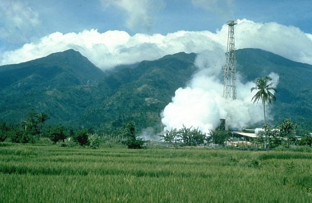

Tiwi, Philippines
Tiwi is a town of 16,826 people in Bicol Region, Philippines, founded in 1696.
Why visit Tiwi
Townapedia lists 1 museum or landmark, 3 parks and trails, 4 places to eat and 3 attractions in and around town.
Weather in Tiwi
Forecast from MET Norway (CC BY 4.0). Full forecast
About Tiwi
Tiwi, officially the Municipality of Tiwi (Central Bikol: Banwaan kan Tiwi; Tagalog: Bayan ng Tiwi), is a municipality in the Province of Albay, Philippines. According to the 2024 census, it has a population of 56,871 people.
From the Wikipedia article Tiwi, Albay (this version), under CC BY-SA 4.0.
Travel tips from other travellers: Tiwi on Wikivoyage (CC BY-SA 4.0).
Things to do3


Museums and landmarks1

Parks, trails and playgrounds3




Restaurants and cafes4


History
Tiwi began as a barrio of Malinao before it was formally organized as a politically independent pueblo in 1696. As a pueblo, it was governed by a gobernadorcillo. As a Catholic parish, it was administered by a secular priest under the then Diocese of Nueva Caceres, now an archdiocese. In its primeval stages, it had some 1,105 houses, a parish church, a community-funded primary school, and a cemetery outside the town proper. The villagers ordinarily engaged in fishing, planting rice, corn, sugarcane, indigo, fruit-bearing trees, and vegetables. Aside from agriculture, they also busied themselves weaving cotton and abaca clothes, and in pottery.
From the History section of Tiwi, Albay on Wikipedia, under CC BY-SA 4.0.
Churches and places of worship7
Our Lady of Salvation Parish and Diocesan Shrine
Church · Roman Catholic · 7.5 km
Shopping3
Gas and EV charging1
Schools, colleges and libraries35
Healthcare4
Map of Tiwi
61 places. The map loads OpenStreetMap tiles when you open it.
Getting there and nearby towns
Legazpi Airport (LGP) is the nearest airport with scheduled flights listed in OpenStreetMap, 34 km away.
- Bagumbayan 2 km southwest, about 2 min by car
- Naagas 3 km south, about 3 min by car
- Tagoytoy 5 km south, about 5 min by car
- Baybay 7 km southeast, about 7 min by car
- Joroan 7 km northwest, about 7 min by car
- Iriga City 29 km west, about 29 min by car
- Legaspi 36 km south, about 36 min by car
- Naga 57 km west, about 57 min by car
- Virac 62 km east, about 1 h by car
- Sorsogon 64 km southeast, about 1 h by car
Drive times are estimates from straight-line distance, not routes.
Local news
Headlines from INDB.
Reviews, tips and questions
Loading what members have shared...
Sources and licences
- GeoNames (CC BY 4.0): population, coordinates, regions and time zone
- OpenStreetMap contributors (ODbL 1.0): places, airports, map data
- Wikidata (CC0 1.0): elevation, founding date, time zone, website
- Wikimedia Commons (see each image): photos
- Wikipedia (CC BY-SA 4.0): overview and history text
Photo credits
- Mount Malinao, Chris Newhall (U.S. Geological Survey), Public domain
- Corangon Shoal 1, Rommel Natanauan, CC BY-SA 4.0
Page built November 7, 2026. Spotted a mistake? Tell us or suggest a place.