
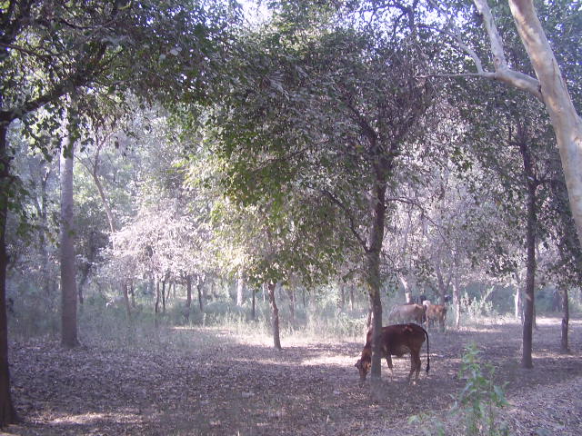

Chichawatni, Pakistan
چیچہ وطنی
Chichawatni is a town of 112,191 people in Punjab, Pakistan.
Why visit Chichawatni
Townapedia lists 1 place to eat in and around town.
Weather in Chichawatni
Forecast from MET Norway (CC BY 4.0). Full forecast
About Chichawatni
Chichawatni (Punjabi: چیچا وطنی, Urdu: چِیچہ وطنى) is a city in the Sahiwal District of the Punjab province of Pakistan. It is the administrative center of Chichawatni Tehsil, one of the two tehsils of the district. Situated near the old main road called Grand Trunk Road, it lies approximately 45 kilometres (28 mi) from the district capital, Sahiwal. According to the 2017 census, Chichawatni's population was 94,733.
From the Wikipedia article Chichawatni (this version), under CC BY-SA 4.0.
Restaurants and cafes1

Gas and EV charging2

History
From the beginning of the 7th century, Rajput Bhatti kingdoms dominated eastern portions of Pakistan and northern India. In 997 CE, Sultan Mahmud Ghaznavi, took over the Ghaznavid empire established by his father, Sultan Sebuktegin. In 1005, he conquered the Shahis in Kabul and followed it by the conquests of some of the western Punjab region.
Eastern regions of Punjab from Multan to Rawalpindi in the north (including present-day Faisalabad, previously called Lyallpur) remained under Rajput rule until 1193. The Delhi Sultanate and Mughal Empire later ruled the region.
The Punjab region became predominantly Muslim due to the missionary Sufi saints' work among the people of Punjab. Sufi dargahs (mausoleums) dot the landscape of Punjab region today. After the decline of the Mughal Empire, the Sikh Empire invaded and occupied Sahiwal District. During the British Raj, Chichawatni was reputedly transformed from a small Punjabi village into a relatively modern city by infrastructure investment and planning decrees, starting after the First World War.
From the History section of Chichawatni on Wikipedia, under CC BY-SA 4.0.
Map of Chichawatni
3 places. The map loads OpenStreetMap tiles when you open it.
Getting there and nearby towns
Faisalabad International Airport (LYP) is the nearest airport with scheduled flights listed in OpenStreetMap, 97 km away.
- Chak Thirty-one -Eleven Left 12 km south, about 12 min by car
- Chak One Hundred Four Seven Right 16 km northeast, about 16 min by car
- Chak One Hundred Three Seven Right 18 km northeast, about 18 min by car
- Chak Three Ten Left 19 km east, about 19 min by car
- Harappa 21 km northeast, about 21 min by car
- Kamalia 22 km north, about 22 min by car
- Chak One Hundred Eighty-five A Nine Left 23 km east, about 23 min by car
- Chak One Hundred Forty-three Nine Left 24 km east, about 24 min by car
- Chak One Hundred Ninety Nine A Left 25 km northeast, about 25 min by car
- Okara 79 km northeast, about 1 h 15 min by car
Drive times are estimates from straight-line distance, not routes.
Local news
Headlines from INDB.
Reviews, tips and questions
Loading what members have shared...
Sources and licences
- GeoNames (CC BY 4.0): population, coordinates, regions and time zone
- OpenStreetMap contributors (ODbL 1.0): places, airports, map data
- Wikidata (CC0 1.0): elevation, founding date, time zone, website
- Wikimedia Commons (see each image): photos
- Wikipedia (CC BY-SA 4.0): overview and history text
Photo credits
- Jungle in Punjab, Khalid Mahmood, CC BY-SA 3.0
Page built November 3, 2026. Spotted a mistake? Tell us or suggest a place.