

Why visit Mianwali
Townapedia lists 3 parks and trails, 3 places to eat and 5 places to stay in and around town.
Weather in Mianwali
Forecast from MET Norway (CC BY 4.0). Full forecast
About Mianwali
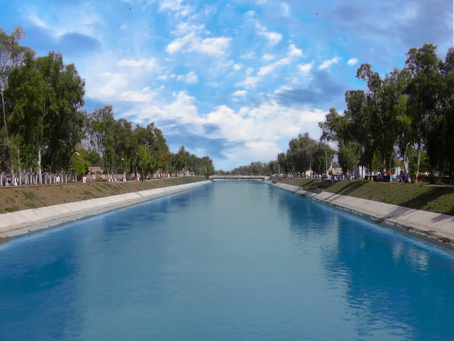
Mianwali is the capital city of Mianwali District in Punjab, Pakistan. Located to the east of the Indus River, the city is irrigated by the Thal Canal.
From the Wikipedia article Mianwali (this version), under CC BY-SA 4.0.
Travel tips from other travellers: Mianwali on Wikivoyage (CC BY-SA 4.0).
Parks, trails and playgrounds3


Restaurants and cafes3

Where to stay5

Churches and places of worship6

History
The city of Mianwali was originally founded in the 16th-century by Shaikh Mian Ali, as a small village. The municipality of Mianwali was created in 1875, during the British colonial period. The British had made the town of Mianwali as tehsil headquarters of Bannu District, then part of Dera Ismail Khan Division of Punjab province. In 1901 it became headquarters of Mianwali District when it was carved out of Bannu District after the creation of Northwest Frontier Province. It had a population of 3,591 according to the 1901 census of India, which rose to 31,398 people in 1961.
From the History section of Mianwali on Wikipedia, under CC BY-SA 4.0.
Shopping1
Gas and EV charging7
Healthcare10
Family Diagnostic and Digital Xray center Mianwali
Hospital · 1.4 km
Gulberg chowk Gulberg chowk, Mianwali
Map of Mianwali
35 places. The map loads OpenStreetMap tiles when you open it.
Getting there and nearby towns
Dera Ismail Khan Airport (DSK) is the nearest airport with scheduled flights listed in OpenStreetMap, 95 km away.
- Kundian 14 km south, about 14 min by car
- Thamewali 33 km northeast, about 33 min by car
- Kamar Mushani 33 km northwest, about 33 min by car
- Daud Khel 33 km north, about 33 min by car
- Harnoli 33 km south, about 33 min by car
- Lawa 40 km east, about 40 min by car
- Kalabagh 43 km north, about 43 min by car
- Kalur Kot 53 km southwest, about 53 min by car
- Lakki 58 km west, about 58 min by car
- Abdul Khel 61 km west, about 1 h by car
Drive times are estimates from straight-line distance, not routes.
Local news
Headlines from INDB.
Reviews, tips and questions
Loading what members have shared...
Sources and licences
- GeoNames (CC BY 4.0): population, coordinates, regions and time zone
- OpenStreetMap contributors (ODbL 1.0): places, airports, map data
- Wikidata (CC0 1.0): elevation, founding date, time zone, website
- Wikimedia Commons (see each image): photos
- Wikipedia (CC BY-SA 4.0): overview and history text
Photo credits
- Thal Canal, Khalid Mahmood, CC BY-SA 3.0
Page built November 3, 2026. Spotted a mistake? Tell us or suggest a place.