


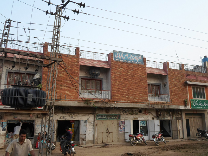


Why visit Sialkot
Townapedia lists 26 museums and landmarks, 24 parks and trails, 58 places to eat, 4 places to stay and 5 attractions in and around town.
Highlights include Murray College, University of Sialkot, Sialkot Fort and Sagala.
Weather in Sialkot
Forecast from MET Norway (CC BY 4.0). Full forecast
About Sialkot
Sialkot (Punjabi, Urdu: سيالكوٹ) is a city located in Punjab, Pakistan. It is the capital of the Sialkot District and the 12th most populous city in Pakistan as well as the 7th largest city in Punjab. The boundaries of Sialkot are joined by Jammu in the north east, the districts of Narowal in the southeast, Gujranwala in the southwest and Gujrat in the northwest.
From the Wikipedia article Sialkot (this version), under CC BY-SA 4.0.
Travel tips from other travellers: Sialkot on Wikivoyage (CC BY-SA 4.0).
Things to do5

Murray College
School · 1.8 km
College in Sialkot, Pakistan
Murray College Road, Sialkot

University of Sialkot
School · 3.4 km
Private university in Sialkot, Pakistan


Museums and landmarks26

Sialkot Fort
Monument and historic site · 1.0 km
Ruined fort in Punjab, Pakistan

Sagala
Monument and historic site · 1.4 km
Ancient city in the Indian subcontinent where Sialkot, Pakistan, is today


14 more on the map.
Parks, trails and playgrounds24


Sialkot Hockey Stadium
Sports field and stadium · 3.1 km
Sialkot - Pasrur - Narowal Road, Sialkot

12 more on the map.
Restaurants and cafes58



46 more on the map.
Where to stay4
Churches and places of worship126
Jamia Masjid Mehar Town جامع مسجد مہر ٹاؤن
Place of worship · Mosque · 3.9 km
01 Deen Iqbal Chaudhry Road, Mehar Town, Sialkot
Masjid Khatoon-e-Jannat
Place of worship · Sunni · 7.5 km
Akbar Shah Road, Hundal
Mehar Faqir Mohammad & Mohammad Bibi Quran School مہر فقیر محمد اور محمد بی بی قرآن سکول
Place of worship · Madrassah · 3.9 km
01-35 Deen Iqbal Chaudhry Road, Mehar Town, Sialkot
Daska-Pasrur Road
Place of worship · 4.8 km
Sialkot - Pasrur - Narowal Road, Sialkot
Shopping11
Gas and EV charging23
Schools, colleges and libraries62
Imam Bukhari International Islamic University
School · 1.7 km
Shahab Pura Rd, Sialkot
Healthcare23
Hakeem Aslam Medical Complex
Hospital · 4.5 km
Hakeem Aslam Medical Complex Chowni Sulehrian Road, Sialkot
Homeopathic Clinic Rana Arif Luqmani
Clinic and pharmacy · 2.2 km
Shahab Pura Rd, Sialkot
Map of Sialkot
250 places. The map loads OpenStreetMap tiles when you open it.
Getting there and nearby towns
Sialkot International Airport (SKT) is the nearest airport with scheduled flights listed in OpenStreetMap, 16 km away.
- Kotli Loharan 11 km north, about 11 min by car
- Kot Rajkour 13 km southeast, about 13 min by car
- Bhagowal 14 km southeast, about 14 min by car
- Sambrial 17 km west, about 17 min by car
- Hadali 17 km north, about 17 min by car
- Bhopalwala 17 km southwest, about 17 min by car
- Kot Ghulam Muhammad 18 km south, about 18 min by car
- Wazirabad 39 km west, about 39 min by car
- Jammu 41 km northeast, about 41 min by car
- Gujranwala 50 km southwest, about 50 min by car
Drive times are estimates from straight-line distance, not routes.
Local news
Headlines from INDB.
Reviews, tips and questions
Loading what members have shared...
Sources and licences
- GeoNames (CC BY 4.0): population, coordinates, regions and time zone
- OpenStreetMap contributors (ODbL 1.0): places, airports, map data
- Wikidata (CC0 1.0): elevation, founding date, time zone, website, landmarks and historic places
- Wikimedia Commons (see each image): photos
- Wikipedia (CC BY-SA 4.0): overview and history text
Photo credits
- Sialkot Boulevard, YaminJanjua, CC BY-SA 4.0
- Sadar Bazar, Sialkot, Pakistan - panoramio, Naeem Subhani, CC BY 3.0
- Clock Tower, Sialkot - illuminated, Sheryking, CC BY-SA 4.0
- Adalat Garh, Sialkot, Pakistan - panoramio (1), Yadgar Movie Point, CC BY-SA 3.0
- Adalat Garh, Sialkot, Pakistan - panoramio, Yadgar Movie Point, CC BY-SA 3.0
- Imam Bargah imam e Zamana syedan wali east sialkot (Sialkot) - panoramio, Syed Asghar Abbas Na…, CC BY 3.0
- Darbar Peer Kakay Shah Sarkar (Sialkot) - panoramio (3), Syed Asghar Abbas Na…, CC BY 3.0
- Darbar Peer Kakay Shah Sarkar (Sialkot) - panoramio, Syed Asghar Abbas Na…, CC BY 3.0
- Darbar Peer Kakay Shah Sarkar (Sialkot) - panoramio (1), Syed Asghar Abbas Na…, CC BY 3.0
- Darbar Peer Kakay Shah Sarkar (Sialkot) - panoramio (5), Syed Asghar Abbas Na…, CC BY 3.0
- Darbar Peer Kakay Shah Sarkar (Sialkot) - panoramio (4), Syed Asghar Abbas Na…, CC BY 3.0
- Darbar Peer Kakay Shah Sarkar (Sialkot) - panoramio (2), Syed Asghar Abbas Na…, CC BY 3.0
- Darbar Peer Kakay Shah Sarkar (Sialkot) - panoramio (6), Syed Asghar Abbas Na…, CC BY 3.0
- Kampala Industries (PVT) Ltd, Khitchian, Sialkot - panoramio, Kampala Industries, CC BY 3.0
- SialkotFort, Torbenbrinker, CC BY-SA 4.0
- Clock Tower, Sialkot 15, PakGuru99, CC BY-SA 4.0
- Centuries old Sikh Gurdwara Baba Di Bair, Sarmad Mahmud, CC BY-SA 3.0
- Murry College, Usman Sulehri, CC BY-SA 3.0
- Farrukh asghar, Farrukhasgharofficial, CC BY-SA 4.0
- ISS030-E-167749 - View of Earth, Earth Science and Remote Sensing Unit , Lyndon B. Johnson Space Center, Public domain
- ISS030-E-167748 - View of Earth, Earth Science and Remote Sensing Unit , Lyndon B. Johnson Space Center, Public domain
- India-Pakistan Borderlands at Night, ISS Expedition 28 crew, Public domain
- Crazy lights (3665483967), mrehan from Pakistan, CC BY-SA 2.0
- Total Gas Station (3666292312), mrehan, CC BY-SA 2.0
- Bhopalwala Nehar, Mehak Rajpout, CC BY-SA 4.0
- Fremdkörperzange nach Hartmann, 8 cm, fein, http://www.tocan.de/shop, CC BY-SA 4.0
- Shah da Dera - panoramio, Sheeraz Akbar Sandha, CC BY 3.0
- Sandha House - panoramio, Sheeraz Akbar Sandha, CC BY 3.0
- Sandha House1 - panoramio, Sheeraz Akbar Sandha, CC BY 3.0
- Sandha House2 - panoramio, Sheeraz Akbar Sandha, CC BY 3.0
- Khichian, Pakistan - panoramio, Kampala Industries, CC BY 3.0
- ISS036-E-37574 - View of Pakistan, Earth Science and Remote Sensing Unit , Lyndon B. Johnson Space Center, Public domain
- ISS030-E-167750 - View of Earth, Earth Science and Remote Sensing Unit , Lyndon B. Johnson Space Center, Public domain
- سکندر حبیب گجر, کہانی رائٹر, CC BY-SA 4.0
- DARBAR HAZRAT MERAN MUHAMMAD SADIQ 8 - panoramio, Syed Asghar Abbas Na…, CC BY 3.0
- Darbar Hazrat Meeran Sab Sarkar 1 - panoramio, SYED_ASGHAR_NAQVI, CC BY 3.0
- Shahid - panoramio, 0502604813imran, CC BY 3.0
- Gulbahar kalan back side near naju house - panoramio, khuram_shahzad, CC BY-SA 3.0
- Sun Set Scene, Campreen, CC BY-SA 4.0


Page built November 3, 2026. Spotted a mistake? Tell us or suggest a place.