


Weather in Zhob
Forecast from MET Norway (CC BY 4.0). Full forecast
About Zhob
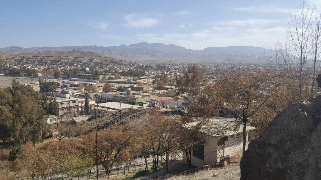
Zhob (English: ; Pashto: ږوب, romanized: Ẓ̌ob, lit. 'oozing water'), formerly known as Fort Sandeman, is a city and district headquarters of the Zhob District in the Balochistan province of Pakistan. Zhob is located on the banks of the Zhob river. It lies 337 kilometres away from Quetta, the capital of Balochistan.
From the Wikipedia article Zhob (this version), under CC BY-SA 4.0.
Schools, colleges and libraries1

Healthcare1

History
Early in the 13th century the country came within the sphere of the Mongol raids organised by Genghis Khan.
Until the Zhob Valley Expedition of 1884, the area was practically unknown to Europeans. In 1889, the Zhob Valley and Gomal Pass were taken under the control of the British Government. In December 1889, the town of Zhob, then known as Apozai, was occupied by the British and named Fort Sandeman after Sir Robert Sandeman.
The military garrison included a native cavalry and a native infantry regiment. It also served as the headquarters of the Zhob Levy Corps. In 1894, a water supply from the Saliaza valley was established, enabling irrigation for corps and fruit trees planting of fruits and trees as well as providing drinking water. The project cost slightly over a lakh of rupees.
During the colonial era, the political agent resided in a building known as "the Castle" that lay to the north of the town and 150 feet (46 m) above the surface of the plain. The military lines, bazaar, dispensaries, and schools lay below. During this time, the railway system was built. The nearest railway station in Baluchistan is Harnai, 168 miles (270 km) distant. Bhakkar, the railway station for Dera Ismail Khan, is 122 miles (196 km) distant.
From the History section of Zhob on Wikipedia, under CC BY-SA 4.0.
Map of Zhob
2 places. The map loads OpenStreetMap tiles when you open it.
Getting there and nearby towns
Zhob Airport (PZH) is the nearest airport with scheduled flights listed in OpenStreetMap, 2 km away.
Local news
Headlines from INDB.
Reviews, tips and questions
Loading what members have shared...
Sources and licences
- GeoNames (CC BY 4.0): population, coordinates, regions and time zone
- OpenStreetMap contributors (ODbL 1.0): places, airports, map data
- Wikidata (CC0 1.0): elevation, founding date, time zone, website
- Wikimedia Commons (see each image): photos
- Wikipedia (CC BY-SA 4.0): overview and history text
Photo credits
- Zhob from mountain, Hariskhan1212, CC BY-SA 4.0
- Baker in Zhob Bazar - panoramio, Najamuddin Shahwani, CC BY 3.0
- Zhob Bazar - panoramio, Najamuddin Shahwani, CC BY 3.0
Page built November 3, 2026. Spotted a mistake? Tell us or suggest a place.