



Princeton, Florida
Princeton is a community of 42,625 people in Miami-Dade County, Florida.
Why visit Princeton
Townapedia lists 5 museums and landmarks, 15 parks and trails, 18 places to eat and 1 place to stay in and around town.
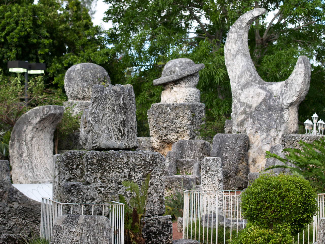
Highlights include Coral Castle, Silver Palm Schoolhouse, William Randolph Community Park and Larry and Penny Thompson Memorial Park and Campground.
August is the warmest month, with average highs of 90°F; January lows average 55°F.
Weather in Princeton
Forecast from the National Weather Service. Full forecast
About Princeton
Princeton is a census-designated place (CDP) and unincorporated community in Miami-Dade County, Florida, United States. It is part of the Miami metropolitan area of South Florida. The population was 39,208 at the 2020 census, up from 22,038 at the 2010 census.
From the Wikipedia article Princeton, Florida (this version), under CC BY-SA 4.0.
Museums and landmarks5
Coral Castle
Monument and historic site · National Register of Historic Places · 4.0 mi
Visitor attraction in Leisure City, Florida, USA

Silver Palm Schoolhouse
Monument and historic site · National Register of Historic Places · 3.0 mi
School building in Miami-Dade County, Florida

William Anderson General Merchandise Store
Monument and historic site · National Register of Historic Places · 3.0 mi


Parks, trails and playgrounds15



Larry and Penny Thompson Memorial Park and Campground
Park · 4.0 mi
Park in Miami, Miami-Dade County, United States of America
3 more on the map.
Restaurants and cafes18

Pizza Hut
Restaurant · Pizza · 1.7 mi
23244 Southwest 112th Avenue, Homestead
Mo-Th 11:00-24:00; Fr-Sa 11:00-25:00; Su 11:00-24:00

Guayaba Restaurant Latin Fusion - Goulds
Restaurant · 2.0 mi
21657

Burger King
Fast food · Burger · 2.4 mi
26801 South Dixie Highway, Naranja
Mo-Sa 06:00-23:00; Su 03:00-23:00
Chick-fil-A
Fast food · Chicken · 1.6 mi
11250 Southwest 248th Street, Homestead
Mo-Sa 06:30-22:00; Su closed
Domino's
Fast food · Pizza · 2.5 mi
11045 Southwest 216th Street, Miami
Mo-Fr 10:00-24:00; Sa-Su 00:00-00:59,10:00-24:00
Little Caesars
Fast food · Pizza · 1.7 mi
24655 Southwest 112th Court, Homestead
Mo-Th,Su 10:30-22:00; Fr-Sa 10:30-23:00
6 more on the map.
Where to stay1

History
As a small town and depot along the Florida East Coast Railroad in the 1900s, the community was named by Gaston Drake after his alma mater, Princeton University. Many of the town buildings were even painted the school's colors: black and orange. Drake operated a saw mill and lumber company in Princeton supplying Miami, the Florida Keys and Cuba until the local timber gave out in 1923.
From the History section of Princeton, Florida on Wikipedia, under CC BY-SA 4.0.
Churches and places of worship2
Shopping5
Gas and EV charging17
Schools, colleges and libraries52
Air Base K-8 Center For International Education
School · 1.7 mi
12829 Sw 272Nd St, Homestead
Coral Reef Montessori Academy Charter School
School · 2.8 mi
10853 Sw 216Th St, Cutler Bay
Healthcare2
Map of Princeton
117 places. The map loads OpenStreetMap tiles when you open it.
Climate by month
Monthly table
| Month | High | Low | Rain | Snow |
|---|---|---|---|---|
| Jan | 76°F | 55°F | 2.0 in | 0.0 in |
| Feb | 78°F | 57°F | 2.3 in | 0.0 in |
| Mar | 80°F | 59°F | 2.3 in | 0.0 in |
| Apr | 84°F | 63°F | 3.4 in | 0.0 in |
| May | 86°F | 68°F | 5.6 in | 0.0 in |
| Jun | 89°F | 72°F | 10.1 in | 0.0 in |
| Jul | 90°F | 72°F | 7.8 in | 0.0 in |
| Aug | 90°F | 73°F | 10.2 in | 0.0 in |
| Sep | 89°F | 72°F | 10.1 in | 0.0 in |
| Oct | 86°F | 69°F | 7.6 in | 0.0 in |
| Nov | 81°F | 63°F | 2.9 in | 0.0 in |
| Dec | 78°F | 58°F | 2.3 in | 0.0 in |
U.S. Climate Normals 1991-2020 for Perrine 4W Hcn (4 mi away), NOAA NCEI.
People and cost of living
American Community Survey 5-year estimates, 2020-2024, U.S. Census Bureau. Estimates have margins of error, larger for small towns.
Disaster history
Miami-Dade County has had 27 federal disaster declarations since 2000, most often for hurricanes.
- 2024-10-11: Hurricane Milton (Hurricane)
- 2024-10-07: Hurricane Milton (Hurricane)
- 2022-12-13: Hurricane Nicole (Hurricane)
- 2022-11-08: Tropical Storm Nicole (Tropical Storm)
- 2022-09-29: Hurricane Ian (Hurricane)
- 2022-09-24: Tropical Storm Ian (Hurricane)
OpenFEMA disaster declarations summaries.
Getting there and nearby towns
Homestead Air Reserve Base (HST) is the nearest airport with scheduled flights listed in OpenStreetMap, 4 miles away.
- Goulds 2 mi northeast, about 3 min by car
- Naranja 2 mi southwest, about 4 min by car
- Leisure City 4 mi southwest, about 6 min by car
- Cutler Bay 5 mi northeast, about 8 min by car
- Homestead 6 mi southwest, about 10 min by car
- Palmetto Estates 6 mi northeast, about 10 min by car
- Country Walk 7 mi north, about 11 min by car
- Palmetto Bay 7 mi northeast, about 12 min by car
- Florida City 8 mi southwest, about 13 min by car
- Kendall 9 mi north, about 15 min by car
Drive times are estimates from straight-line distance, not routes.
Local news
Headlines from INDB, the NEMICO news database.
Reviews, tips and questions
Loading what members have shared...
Sources and licences
- NCES EDGE (Public domain): public schools
- NOAA NCEI U.S. Climate Normals 1991-2020 (Public domain): climate by month
- OpenFEMA (Public domain): disaster declarations
- OpenStreetMap contributors (ODbL 1.0): places, airports, map data
- U.S. Census Bureau (Public domain): population, income, housing, education, commute
- Wikidata (CC0 1.0): elevation, founding date, time zone, website, landmarks and historic places
- Wikimedia Commons (see each image): photos
- Wikipedia (CC BY-SA 4.0): overview and history text
Photo credits
- Goulds FL Silver Palm Schoolhouse01, Ebyabe, CC BY-SA 3.0
- Coral Castle 1, Christina Rutz, CC BY 2.0
- Goulds FL Anderson Store01, Ebyabe, CC BY-SA 3.0
- Larry and Penny Thompson Memorial Park Entrance Signage, Fleejoseph, CC BY-SA 4.0
- GABLES TREES - panoramio, Ivan Curra, CC BY-SA 3.0
- HISTORIC BUILDING DOWN..... - panoramio, Ivan Curra, CC BY-SA 3.0
- Los Tri-O Spotify, Manumusica77, CC BY-SA 4.0
- Stephanie Berman with Clinton Tile, OSTFlorida, CC BY-SA 3.0
- Carrfour Verde Gardens GB, OSTFlorida, CC BY-SA 3.0
- South Miami Overview - Three Lakes - panoramio, Oscar Flowers, CC BY-SA 3.0


Page built October 30, 2026. Spotted a mistake? Tell us or suggest a place.