
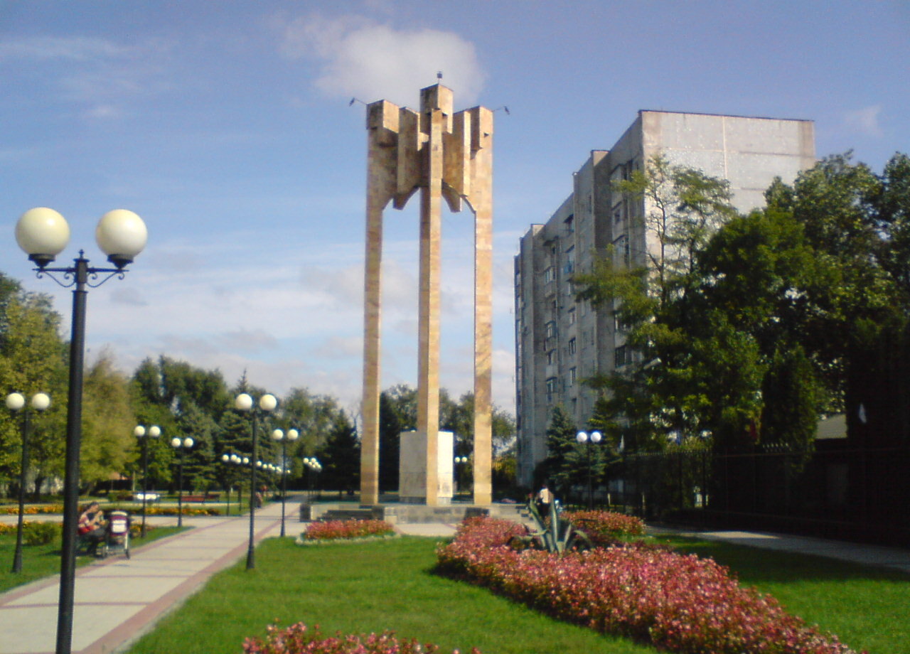


Georgiyevsk, Russia
Георгиевск
Georgiyevsk is a town of 72,649 people in Stavropol Kray, Russia, founded in 1777.
Why visit Georgiyevsk
Townapedia lists 18 museums and landmarks, 2 parks and trails, 36 places to eat, 5 places to stay and 2 attractions in and around town.
Highlights include Березка and Историко-краеведческий музей.
Weather in Georgiyevsk
Forecast from MET Norway (CC BY 4.0). Full forecast
About Georgiyevsk
Georgiyevsk (Russian: Гео́ргиевск; Iron Ossetic: Гуым) is a historical town in Stavropol Krai, Russia, located in the North Caucasus on submontane tableland on the right bank of the Podkumok River (a tributary of the Kuma River), 210 kilometers (130 mi) southeast of Stavropol. Population: 72,153 (2010 census).
From the Wikipedia article Georgiyevsk (this version), under CC BY-SA 4.0.
Things to do2

Museums and landmarks18


Дом, где был подписан Георгиевский трактат о присоединении Грузии к России
Monument and historic site · 1.1 km
6 more on the map.
Parks, trails and playgrounds2

Restaurants and cafes36

Наутилус
Cafe · Pizza
7/1 Горийская улица, Георгиевск
12:00-24:00
mr. Jones
Cafe · Pizza · 2.7 km
150А улица Калинина, Георгиевск
10:00-23:00
НИКо
Cafe · Regional, Kebab, International · 4.4 km
161 Октябрьская улица, Георгиевск
08:00-24:00 open "I этаж" || 00:00-01:00,08:00-24:00 open "II...

"Доминанта"
Restaurant · Regional · 2.7 km
13 улица Кочубея, Георгиевск
12:00-24:00

24 more on the map.
History
It was founded in September 1777 as St. George fortress on the Azov-Mozdok defense line. In 1783, Georgievsk saw the signing of the Treaty of Georgievsk between the Russian Empire and the Kingdom of Kartli-Kakheti, which made the east Georgian kingdom a Russian protectorate. After 1785, Georgiyevsk grew considerably. In 1786, it was granted town status. After 1802, it was the seat of Caucasian Governorate. The early 19th century marked a peak in Georgiyevsk's influence as a trading center. After 1822, the town's influence began to wane.
In 1875, a railway station was built 6 kilometers (3.7 mi) away in Nezlobnaya. This became a new beginning in town's development. In 1894, the first blacksmith works was founded. This was the beginning of "ArZiL", the biggest enterprise in the town. In 1900, a slaughter house and an oil mill were founded. In the 1920s, Georgiyevsk became a big industrial and trade center of the Ciscaucasia.
During World War II, Georgiyevsk was under German occupation from 15 August 1942 to 10 January 1943. After the war, Georgiyevsk became the largest center of machine construction in Stavropol Krai.
From the History section of Georgiyevsk on Wikipedia, under CC BY-SA 4.0.
Where to stay5
Churches and places of worship7
Shopping26
Gas and EV charging11
Schools, colleges and libraries20
Городская детская библиотека №5 им. С.В. Михалкова
Library · 2.5 km
12 Батакская улица, Георгиевск
средняя школа №5 г. Георгиевска Школа №5 (МОУ СОШ № 5 им. О. В. Гудкова)
School · 1.8 km
120/41/103 улица Володарского-Урицкого-Фурманова, Георгиевск
Центральная детская библиотека им. А.П. Гайдара
Library
129 улица Ленина, Георгиевск
Центральная городская библиотека им. А.С. Пушкина
Library
129 улица Ленина, Георгиевск
Healthcare20
ГБУЗ СК "Георгиевская городская детская поликлиника"
Clinic and pharmacy · 2.8 km
9 улица Мира, Георгиевск
Map of Georgiyevsk
147 places. The map loads OpenStreetMap tiles when you open it.
Getting there and nearby towns
Mineralnye Vody Airport (MRV) is the nearest airport with scheduled flights listed in OpenStreetMap, 32 km away.
- Novopavlovsk 25 km southeast, about 25 min by car
- Mineralnye Vody 28 km west, about 28 min by car
- Inozemtsevo 31 km west, about 31 min by car
- Goryachevodskiy 33 km southwest, about 33 min by car
- Pyatigorsk 35 km west, about 35 min by car
- Svobody 36 km west, about 36 min by car
- Zheleznovodsk 37 km west, about 37 min by car
- Lermontov 40 km west, about 40 min by car
- Zelenokumsk 44 km northeast, about 44 min by car
- Yessentuki 50 km west, about 50 min by car
Drive times are estimates from straight-line distance, not routes.
Local news
Headlines from INDB.
Reviews, tips and questions
Loading what members have shared...
Sources and licences
- GeoNames (CC BY 4.0): population, coordinates, regions and time zone
- OpenStreetMap contributors (ODbL 1.0): places, airports, map data
- Wikidata (CC0 1.0): elevation, founding date, time zone, website
- Wikimedia Commons (see each image): photos
- Wikipedia (CC BY-SA 4.0): overview and history text
Photo credits
- Георгиевский трактат. г.Георгиевск, Ален Катин, CC BY-SA 3.0
- Здание Общества взаимного кредита, Kemal KOZBAEV, CC BY-SA 4.0
- Здание гостиницы Лувр, Kemal KOZBAEV, CC BY-SA 4.0
- Братская могила мирных жителей, расстрелянных белогвардейцами, Kemal KOZBAEV, CC BY-SA 4.0
- Братская могила советских воинов, погибших в годы Великой Отечественной войны; Георгиевск, Kemal KOZBAEV, CC BY-SA 4.0
- Братская могила советских воинов и мирных жителей, замученных фашистами, Kemal KOZBAEV, CC BY-SA 4.0
- Народный дом; Георгиевск, Kemal KOZBAEV, CC BY-SA 4.0
- Здание бывшей женской гимназии; Георгиевск, Kemal KOZBAEV, CC BY-SA 4.0
- Здание реального училища; Георгиевск, Kemal KOZBAEV, CC BY-SA 4.0
- Церковь святителя Николая в Георгиевской крепости, Kemal KOZBAEV, CC BY-SA 4.0
- Братская могила воинов Советской Армии, погибших в период ВОВ, Kemal KOZBAEV, CC BY-SA 4.0
- Stitched Panorama - panoramio, Yury Casper, CC BY-SA 3.0
- Взрослая цикада на листе вишни, Ален Катин, CC BY-SA 3.0
- Могила неизвестного солдата, погибшего в бою с фашистами, Kemal KOZBAEV, CC BY-SA 4.0
- Сафонова дача 02, Kemal KOZBAEV, CC BY-SA 4.0
- Сафонова дача 01, Kemal KOZBAEV, CC BY-SA 4.0
- Дача Сафонова 02, Kemal KOZBAEV, CC BY-SA 4.0
- Дача Сафонова, Kemal KOZBAEV, CC BY-SA 4.0
- Дача Сафонова 03, Kemal KOZBAEV, CC BY-SA 4.0


Page built November 4, 2026. Spotted a mistake? Tell us or suggest a place.