


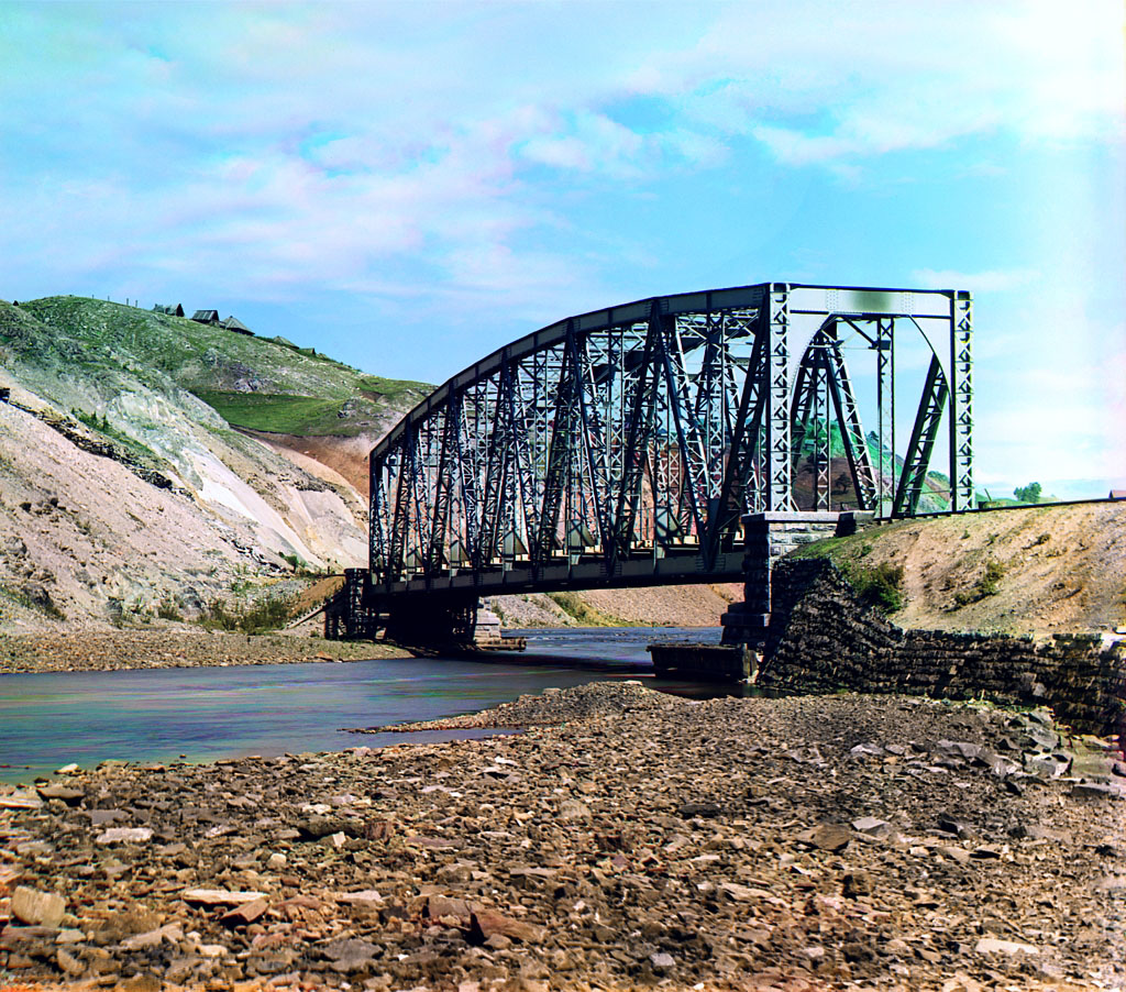


Katav-Ivanovsk, Russia
Катав-Ивановск
Katav-Ivanovsk is a town of 19,339 people in Chelyabinsk, Russia, founded in 1755.
Why visit Katav-Ivanovsk
Townapedia lists 7 museums and landmarks, 3 parks and trails and 2 attractions in and around town.
Highlights include Голая Шишка.
Weather in Katav-Ivanovsk
Forecast from MET Norway (CC BY 4.0). Full forecast
About Katav-Ivanovsk
Katav-Ivanovsk (Russian: Ката́в-Ива́новск) is a town and the administrative center of Katav-Ivanovsky District in Chelyabinsk Oblast, Russia, located on the Katav River (left tributary of the Yuryuzan), 321 kilometers (199 mi) southwest of Chelyabinsk, the administrative center of the oblast. Population: 17,630 (2010 census); 20,162 (2002 census); 24,972 (1989 Soviet census).
From the Wikipedia article Katav-Ivanovsk (this version), under CC BY-SA 4.0.
Things to do2


Museums and landmarks7


Рабочим литейно-механического завода, погибшим в ВОВ
Monument and historic site · 0.9 km
Цементникам, погибшим в годы Великой Отечественной войны
Monument and historic site · 0.9 km
Parks, trails and playgrounds3


Churches and places of worship2



History
It was founded in 1755 as a settlement around an iron-smelting plant. Town status was granted to it on August 27, 1939.
From the History section of Katav-Ivanovsk on Wikipedia, under CC BY-SA 4.0.
Schools, colleges and libraries1
Healthcare3
Map of Katav-Ivanovsk
18 places. The map loads OpenStreetMap tiles when you open it.
Getting there and nearby towns
- Trëkhgornyy 17 km northeast, about 17 min by car
- Yuryuzan’ 19 km northeast, about 19 min by car
- Vyazovaya 20 km northeast, about 20 min by car
- Ust’-Katav 21 km north, about 21 min by car
- Kropachëvo 32 km northwest, about 32 min by car
- Mursalimkino 39 km northeast, about 39 min by car
- Sim 42 km northwest, about 42 min by car
- Bakal 44 km northeast, about 44 min by car
- Satka 63 km northeast, about 1 h by car
- Beloretsk 89 km south, about 1 h 30 min by car
Drive times are estimates from straight-line distance, not routes.
Local news
Headlines from INDB.
Reviews, tips and questions
Loading what members have shared...
Sources and licences
- GeoNames (CC BY 4.0): population, coordinates, regions and time zone
- OpenStreetMap contributors (ODbL 1.0): places, airports, map data
- Wikidata (CC0 1.0): elevation, founding date, time zone, website
- Wikimedia Commons (see each image): photos
- Wikipedia (CC BY-SA 4.0): overview and history text
Photo credits
- Храм Иоанна Предтечи 1824 год,Катав-Ивановск, Челябинская область - panoramio, Николай Максимович, CC BY 3.0
- Ул. Дмитрия Тараканова, Катав-Ивановск, Челябинская область - panoramio, Николай Максимович, CC BY 3.0
- Katav-river bridge 01, Sergei Prokudin-Gorskii, Public domain
- Городской краеведческий музей, Катав-Ивановск, Челябинская область - panoramio, Николай Максимович, CC BY 3.0
- Памятник В.И.Ленину у ДК Цементников , Катав-Ивановск, Челябинская область - panoramio, Николай Максимович, CC BY 3.0
- Катав-Ивановск, Челябинская область - panoramio, Николай Максимович, CC BY 3.0
Page built November 4, 2026. Spotted a mistake? Tell us or suggest a place.