
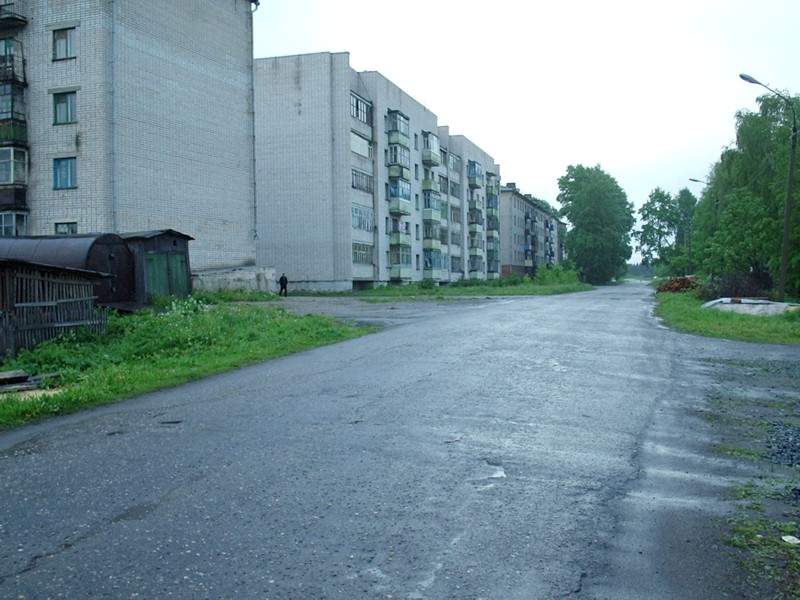


Kharovsk, Russia
Харовск
Kharovsk is a town of 11,115 people in Vologda Oblast, Russia, founded in 1903.
Why visit Kharovsk
Townapedia lists 2 museums and landmarks, 2 parks and trails and 1 attraction in and around town.
Weather in Kharovsk
Forecast from MET Norway (CC BY 4.0). Full forecast
About Kharovsk
Kharovsk (Russian: Ха́ровск) is a town and the administrative center of Kharovsky District in Vologda Oblast, Russia, located on the left bank of the Kubena River, 90 kilometers (56 mi) north of Vologda, the administrative center of the oblast. Population: 10,079 (2010 census); 11,460 (2002 census); 13,083 (1989 Soviet census).
From the Wikipedia article Kharovsk (this version), under CC BY-SA 4.0.
Things to do1

Museums and landmarks2

Паровоз Кч4-276 с Харовского шпалопропиточного завода
Monument and historic site · 2.2 km
Parks, trails and playgrounds2

Churches and places of worship2

History
In 1894, the construction of the railway line between Vologda and Arkhangelsk started. It was decided that the railway should run over the shortest route rather than pass through existing settlements, and it was eventually built through the current location of Kharovsk. Kubino railway station, which was later renamed Leshchevo, was opened in this location in 1894; the station was renamed Kharovskaya in 1914.
The settlement of Kharovskaya (Харовская), also known as Kharovsky (Харовский), was founded in 1903 in relation with the construction of a glass factory. In 1919, a saw mill was built. Kharovsky belonged to Kadnikovsky Uyezd in Vologda Governorate.
On July 15, 1929, the uyezds were abolished, the governorates merged into Northern Krai, and Kharovsky District was established. In 1932, Kharovskaya, the administrative center of the district, was granted work settlement status. Construction of a number of industrial enterprises followed, including a milk factory. In 1954, Kharovskaya was granted town status and given its present name.
From the History section of Kharovsk on Wikipedia, under CC BY-SA 4.0.
Shopping4
Gas and EV charging3
Schools, colleges and libraries5
Healthcare3
Map of Kharovsk
22 places. The map loads OpenStreetMap tiles when you open it.
Getting there and nearby towns
Vologda Airport (VGD) is the nearest airport with scheduled flights listed in OpenStreetMap, 77 km away.
- Ust’ye 45 km southwest, about 45 min by car
- Syamzha 49 km east, about 49 min by car
- Kadnikov 52 km south, about 52 min by car
- Sokol 56 km south, about 56 min by car
- Vozhega 57 km north, about 57 min by car
- Molochnoye 80 km south, about 1 h 15 min by car
- Shuyskoye 81 km southeast, about 1 h 15 min by car
- Vologda 84 km south, about 1 h 30 min by car
Drive times are estimates from straight-line distance, not routes.
Local news
Headlines from INDB.
Reviews, tips and questions
Loading what members have shared...
Sources and licences
- GeoNames (CC BY 4.0): population, coordinates, regions and time zone
- OpenStreetMap contributors (ODbL 1.0): places, airports, map data
- Wikidata (CC0 1.0): elevation, founding date, time zone, website
- Wikimedia Commons (see each image): photos
- Wikipedia (CC BY-SA 4.0): overview and history text
Photo credits
- Kharovsk 1, Сергей Болашенко, CC BY-SA 3.0
- Харовская 2022-05, Svetlov Artem, CC0
Page built November 4, 2026. Spotted a mistake? Tell us or suggest a place.