



Krasnoarmeysk, Russia
Красноармейск
Krasnoarmeysk is a town of 25,841 people in Saratov Oblast, Russia, founded in 1765.
Why visit Krasnoarmeysk
Townapedia lists 1 museum or landmark, 2 places to eat and 1 attraction in and around town.
Weather in Krasnoarmeysk
Forecast from MET Norway (CC BY 4.0). Full forecast
About Krasnoarmeysk
Krasnoarmeysk (Russian: Красноарме́йск) is a town in Saratov Oblast, Russia, located 75 kilometers (47 mi) south of Saratov, the administrative center of the oblast. Population: 24,364 (2010 census); 25,411 (2002 census); 24,055 (1989 Soviet census).
From the Wikipedia article Krasnoarmeysk, Saratov Oblast (this version), under CC BY-SA 4.0.
Things to do1

Museums and landmarks1

Restaurants and cafes2




Churches and places of worship2

History
It was founded in 1764—1766 as the German colony of Baltser (Russian: Ба́льцер; German: Balzer); the last name of one of the colonists. The other name of the colony was Goly Karamysh (Голый Карамыш), after the river on which it was located. The "Karamysh" part in the river's name means muddy, silty, smudgy, while the "Goly" part alludes to the steppes and the lack of forests in the area; cf. Lesnoy Karamysh River (lit. the Karamysh River in the forests).
In the mid-19th century, the double name of Goly Karamysh (Balzer) (Голый Карамыш (Бальзер)) was officially used, but it was shortened to just Baltser in 1926. Town status was granted in 1918. During World War II, the region was cleansed of German geographic names, with Baltser renamed Krasnoarmeysk (after the Red Army) in 1942.
From the History section of Krasnoarmeysk, Saratov Oblast on Wikipedia, under CC BY-SA 4.0.
Shopping2
Gas and EV charging2
Schools, colleges and libraries4
Healthcare5
Map of Krasnoarmeysk
19 places. The map loads OpenStreetMap tiles when you open it.
Getting there and nearby towns
Гагарин (GSV) is the nearest airport with scheduled flights listed in OpenStreetMap, 83 km away.
- Kamenskiy 21 km southwest, about 21 min by car
- Rovnoye 37 km southeast, about 37 min by car
- Privolzhskiy 49 km northeast, about 49 min by car
- Engels 59 km northeast, about 59 min by car
- Krasnyy Oktyabr’ 57 km north, about 57 min by car
- Vladimirskiy 58 km southeast, about 58 min by car
- Saratov 61 km north, about 1 h by car
- Sokolovyy 61 km north, about 1 h by car
- Linëvo 62 km west, about 1 h by car
- Zhirnovsk 64 km west, about 1 h by car
Drive times are estimates from straight-line distance, not routes.
Local news
Headlines from INDB.
Reviews, tips and questions
Loading what members have shared...
Sources and licences
- GeoNames (CC BY 4.0): population, coordinates, regions and time zone
- OpenStreetMap contributors (ODbL 1.0): places, airports, map data
- Wikidata (CC0 1.0): elevation, founding date, time zone, website
- Wikimedia Commons (see each image): photos
- Wikipedia (CC BY-SA 4.0): overview and history text
Photo credits
- Красноармейск (архитектурная форма, Саратовская область), Дементьева Роман, CC BY-SA 4.0
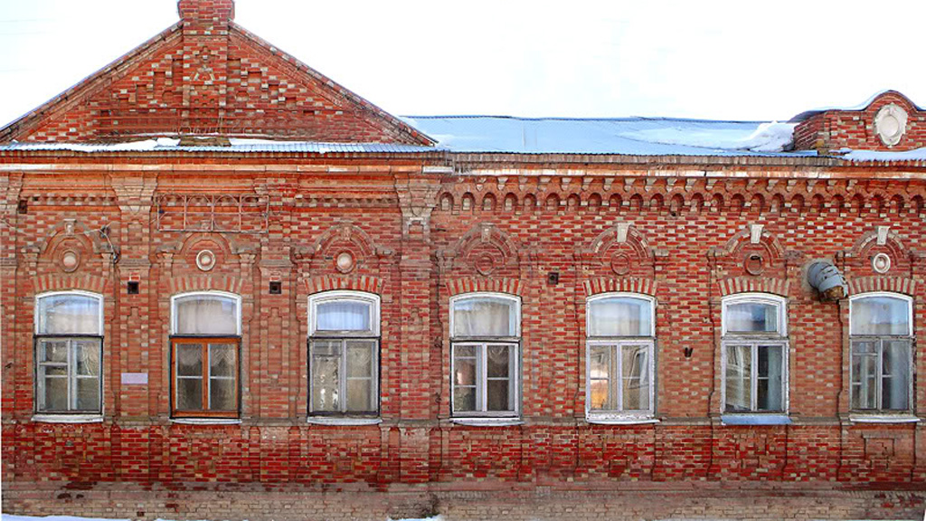
- Balzer Textilfabrik 2000, Виктор Бальцеров, CC BY-SA 3.0
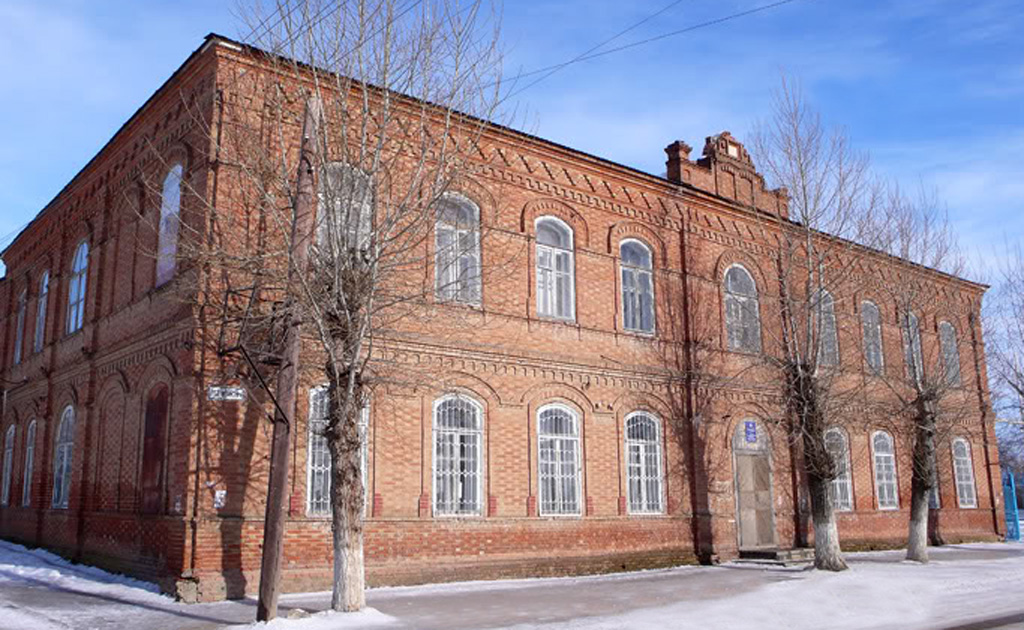
- Balzer Amtsgebaeude 2000, Виктор Бальцеров, CC BY-SA 3.0
- ISS043-E-66149 - View of Earth, Earth Science and Remote Sensing Unit , Lyndon B. Johnson Space Center, Public domain
- ISS062-E-94957 - View of Earth, Earth Science and Remote Sensing Unit, NASA Johnson Space Center, Public domain
- ISS062-E-94958 - View of Earth, Earth Science and Remote Sensing Unit, NASA Johnson Space Center, Public domain
- ISS022-E-58507 - View of Earth, Earth Science and Remote Sensing Unit , Lyndon B. Johnson Space Center, Public domain
- ISS053-E-328656 - View of Earth, Earth Science and Remote Sensing Unit , Lyndon B. Johnson Space Center, Public domain
- ISS043-E-66148 - View of Earth, Earth Science and Remote Sensing Unit , Lyndon B. Johnson Space Center, Public domain
- ISS030-E-200042 - View of Earth, Earth Science and Remote Sensing Unit , Lyndon B. Johnson Space Center, Public domain
- ISS053-E-326889 - View of Earth, Earth Science and Remote Sensing Unit , Lyndon B. Johnson Space Center, Public domain
- ISS047-E-91064 - View of Earth, Earth Science and Remote Sensing Unit , Lyndon B. Johnson Space Center, Public domain
- ISS043-E-66147 - View of Earth, Earth Science and Remote Sensing Unit , Lyndon B. Johnson Space Center, Public domain
- ISS043-E-66150 - View of Earth, Earth Science and Remote Sensing Unit , Lyndon B. Johnson Space Center, Public domain


Page built November 4, 2026. Spotted a mistake? Tell us or suggest a place.