

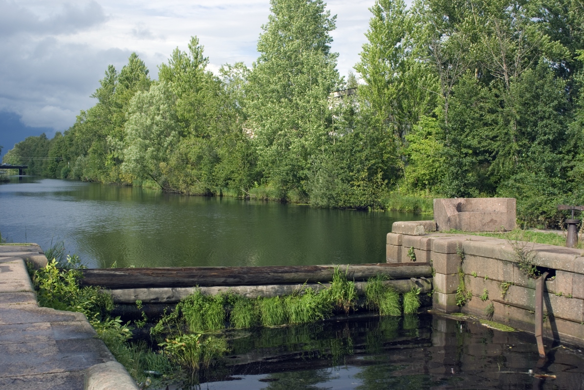


Shlissel’burg, Russia
Шлиссельбург
Shlissel’burg is a town of 12,115 people in Leningradskaya Oblast', Russia, founded in 1323.
Why visit Shlissel’burg
Townapedia lists 69 museums and landmarks, 9 parks and trails, 33 places to eat, 6 places to stay and 3 attractions in and around town.
Highlights include Ladoga Canal, Oreshek Fortress, Музей истории Шлиссельбурга and Oreshyok Fortress.
Weather in Shlissel’burg
Forecast from MET Norway (CC BY 4.0). Full forecast
About Shlissel’burg
Shlisselburg, known as Oreshek (Russian: Орешек) from 1323 to 1611, and Petrokrepost (Russian: Петрокрепость) from 1944 to 1992, is a town in Kirovsky District, Leningrad Oblast, Russia. It is located at the head of the Neva River on Lake Ladoga, 35 kilometers (22 mi) east of St. Petersburg. Population: 14,131 (2021 census); 13,170 (2010 census); 12,401 (2002 census); 12,589 (1989 Soviet census).
From the Wikipedia article Shlisselburg (this version), under CC BY-SA 4.0.
Travel tips from other travellers: Shlissel’burg on Wikivoyage (CC BY-SA 4.0).
Things to do3


Культурно-спортивный комплекс "Невский"
Cinema and theater · 0.8 km
2 улица Малоневский канал, Шлиссельбург
Museums and landmarks69


Домик на пристани
Museum
1А улица Новоладожский канал, Шлиссельбург
We-Su 11:00-17:00


Заброшенный лимонадный завод
Monument and historic site
Бывший лимонадный завод, в царские времена в здании располагалась тюрьма
57 more on the map.
Parks, trails and playgrounds9



Restaurants and cafes33


Хочу ещё
Restaurant · American, Italian, Japanese, Russian
16 улица Староладожский канал, Шлиссельбург
Mo-Su 12:00-22:00
Кафе-столовая
Cafe · 0.6 km
1 Затонная улица, Шлиссельбург
09:00-20:00


21 more on the map.
Where to stay6
Churches and places of worship4
Храм во имя Святых апостолов Петра и Павла
Church · Russian Orthodox · 2.8 km
8 улица Мира, посёлок имени Морозова
Shopping16
Gas and EV charging3
Schools, colleges and libraries7
Healthcare15
Map of Shlissel’burg
165 places. The map loads OpenStreetMap tiles when you open it.
Getting there and nearby towns
Pulkovo Airport (LED) is the nearest airport with scheduled flights listed in OpenStreetMap, 46 km away.
- Imeni Morozova 3 km north, about 3 min by car
- Sinyavino 5 km southeast, about 5 min by car
- Kirovsk 8 km south, about 8 min by car
- Dubrovka 13 km southwest, about 13 min by car
- Priladozhskiy 18 km southeast, about 18 min by car
- Vsevolozhsk 22 km west, about 22 min by car
- Kolpino 33 km southwest, about 33 min by car
- Saint Petersburg 40 km west, about 40 min by car
- Tosno 46 km south, about 46 min by car
- Vyritsa 71 km southwest, about 1 h 15 min by car
Drive times are estimates from straight-line distance, not routes.
Local news
Headlines from INDB.
Reviews, tips and questions
Loading what members have shared...
Sources and licences
- GeoNames (CC BY 4.0): population, coordinates, regions and time zone
- OpenStreetMap contributors (ODbL 1.0): places, airports, map data
- Wikidata (CC0 1.0): elevation, founding date, time zone, website, landmarks and historic places
- Wikimedia Commons (see each image): photos
- Wikipedia (CC BY-SA 4.0): overview and history text
Photo credits
- Oreshek (fortress) view01, Macs24, Public domain
- Old ladoga chanel lock gate, Denis Zhilin, CC BY-SA 3.0
- Стальной путь, Olga1969, CC BY-SA 4.0
- Собор Благовещения Пресвятой Богородицы Шлиссельбург, Andreykokin, CC BY-SA 4.0
- Monument Pereprava, Denlab812, CC BY-SA 4.0
- Крепость Орешек. Г. Шлиссельбург (Санкт-Петербург) (cropped), Moneycantbuy, CC BY-SA 4.0
Page built November 4, 2026. Spotted a mistake? Tell us or suggest a place.