


Sanford, Maine
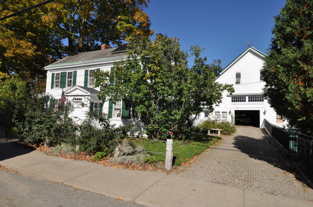
Sanford is a city of 22,247 people in York County, Maine, founded in 1739.
Why visit Sanford
Townapedia lists 21 museums and landmarks, 45 parks and trails, 43 places to eat, 6 places to stay and 20 attractions in and around town.
Highlights include Grist Mill Bridge, McDougal Orchards, Alfred Historic District and Alfred Shaker Historic District.
July is the warmest month, with average highs of 81°F; January lows average 10°F.
Weather in Sanford
Forecast from the National Weather Service. Full forecast
About Sanford
Sanford is a city in York County, Maine, United States. The population was 21,982 in the 2020 census, making it the seventh largest municipality in the state. Situated on the Mousam River, Sanford includes the village of Springvale.
From the Wikipedia article Sanford, Maine (this version), under CC BY-SA 4.0.
Things to do20
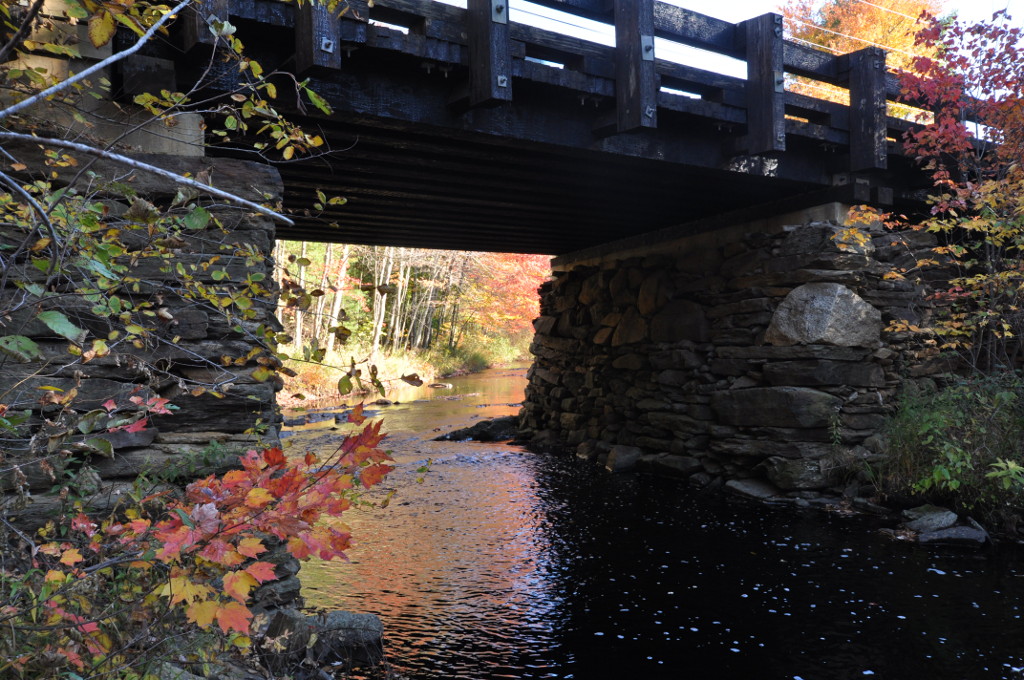
Grist Mill Bridge
Bridge · National Register of Historic Places · 5.2 mi
Bridge in United States of America

McDougal Orchards
Farm and orchard · 2.6 mi
Pick-your-own and ready-picked apples and other fruits
201 Hanson Ridge Road, Springvale
Sa-We 09:00-17:00; Th,Fr 09:00-19:00 "during the picking season"


8 more on the map.
Museums and landmarks21

Alfred Historic District
Monument and historic site · National Register of Historic Places · 4.0 mi
Historic district in Alfred, Maine

Alfred Shaker Historic District
Monument and historic site · National Register of Historic Places · 5.6 mi
United States historic place

District No. 5 School
Monument and historic site · National Register of Historic Places · 6.9 mi
School in Alfred, Maine
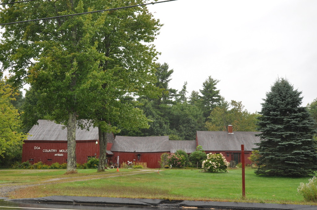
Eaton House
Monument and historic site · National Register of Historic Places · 6.5 mi
Historic house in Maine, United States

Edmund E. Goodwin House
Monument and historic site · National Register of Historic Places · 3.3 mi
Historic house in Maine, United States
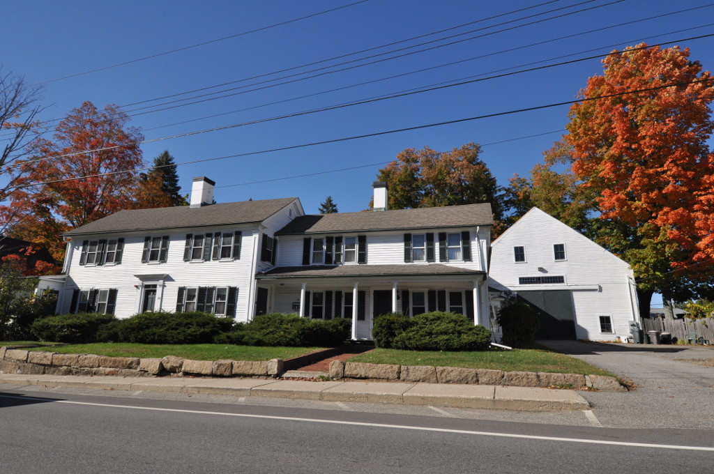
Emery Homestead
Monument and historic site · National Register of Historic Places · 1.5 mi
Historic house in Maine, United States
Emery House
Monument and historic site · National Register of Historic Places · 6.0 mi
Historic house in Highpine, Maine, United States
Hatch House
Monument and historic site · National Register of Historic Places · 6.5 mi
Historic house in Maine, United States

Lord-Dane House
Monument and historic site · National Register of Historic Places · 5.4 mi
Historic house in Maine, United States

Morrell House
Monument and historic site · National Register of Historic Places · 4.8 mi
House in North Berwick, Maine

Old Grist Mill
Monument and historic site · National Register of Historic Places · 5.2 mi
Grist mill in Lebanon, Maine


Sanford Mills Historic District
Monument and historic site · National Register of Historic Places · 1.3 mi
Historic district in Maine, United States
9 more on the map.
Parks, trails and playgrounds45


Brother's Beach Town Park
Park · 5.3 mi
Alfred residents only
280 Waterboro Road, Alfred

33 more on the map.
Restaurants and cafes43

Kai Asian Fusion
Restaurant · Asian · 3.5 mi
459 Main Street, Springvale
Mo-Th 11:00-15:00,16:30-21:30; Fr,Sa 11:00-15:00,16:30-22:00; Su...
One Love Cuisine
Restaurant · Jamaican · 1.5 mi
6 Lebanon Street, Sanford
Mo 11:00-21:00; Tu 16:00-21:00; We-Sa 08:00-21:00; Su 08:00-16:00
Richies Jerk & BBQ
Restaurant · Jamaican · 1.4 mi
35 Washington Street, Sanford
Mo,Su 11:00-20:00; Tu-Th 11:00-21:00; Fr,Sa 11:00-22:30

Springvale Publick House
Bar and pub · 3.4 mi
481 Main Street, Springvale
Tu-Th 11:00-21:00; Fr,Sa 11:00-22:00
All American Woodfired Pizza
Restaurant · Pizza · 3.4 mi
489 Main Street, Springvale
Su-Th 11:00-20:00; Fr,Sa 11:00-21:00
Pizza by Paras
Restaurant · Pizza · 1.4 mi
45 High Street, Sanford
Tu-Sa 11:00-20:00; Su 12:00-19:00
31 more on the map.
History
Sanford is in the western portion of a tract of land purchased in 1661 from Abenaki Chief Fluellin by Major William Phillips, an owner of mills in Saco. First called Phillipstown, it was willed in 1696 by Mrs. Phillips to her former husband's son, Peleg Sanford. Settlement was delayed, however, by hostilities during the French and Indian Wars. In 1724, Norridgewock, an Abenaki stronghold on the Kennebec River, was destroyed by a Massachusetts militia. Subsequently, the region became less dangerous for white settlers, and Sanford was first settled in 1739. Incorporated a town in 1768, it was named after Peleg Sanford. Until 1794, Alfred was the town's North Parish.
The Mousam River provided water power for industry. In 1745, Capt. Market Morrison built a sawmill above Springvale. Following the Civil War, Sanford developed into a textile manufacturing center, connected to markets by the Portland and Rochester Railroad. Factories were built at both Springvale and Sanford villages. Products included cotton and woolen goods, carpets, shoes and lumber.
From the History section of Sanford, Maine on Wikipedia, under CC BY-SA 4.0.
Where to stay6
Churches and places of worship20
North Parish Congregational Church
Church · United Church Of Christ · 1.4 mi
885 Main Street, Sanford
Church of the Bretheren Sanford Fellowship
Church · Church Of The Brethren · 0.6 mi
21 Malcolm Avenue, Sanford
Shopping16
Gas and EV charging10
Schools, colleges and libraries22
Louis B Goodall Memorial Library
Library · National Register of Historic Places · 1.1 mi
952 Main Street, Sanford
Healthcare12
Map of Sanford
215 places. The map loads OpenStreetMap tiles when you open it.
Climate by month
Monthly table
| Month | High | Low | Rain |
|---|---|---|---|
| Jan | 32°F | 10°F | 3.7 in |
| Feb | 35°F | 11°F | 3.6 in |
| Mar | 44°F | 20°F | 4.7 in |
| Apr | 57°F | 30°F | 4.6 in |
| May | 68°F | 41°F | 3.8 in |
| Jun | 76°F | 50°F | 4.6 in |
| Jul | 81°F | 56°F | 4.0 in |
| Aug | 80°F | 54°F | 3.9 in |
| Sep | 73°F | 47°F | 3.8 in |
| Oct | 60°F | 36°F | 5.3 in |
| Nov | 48°F | 27°F | 4.5 in |
| Dec | 37°F | 17°F | 4.8 in |
U.S. Climate Normals 1991-2020 for Sanford 2 Nnw (3 mi away), NOAA NCEI.
People and cost of living
American Community Survey 5-year estimates, 2020-2024, U.S. Census Bureau. Estimates have margins of error, larger for small towns.
Disaster history
York County has had 26 federal disaster declarations since 2000, most often for severe storms.
- 2024-05-24: Severe Winter Storm (Winter Storm)
- 2024-03-20: Severe Storms And Flooding (Severe Storm)
- 2023-09-14: Hurricane Lee (Hurricane)
- 2023-03-22: Severe Storm And Flooding (Severe Storm)
- 2022-03-15: Severe Storm And Flooding (Coastal Storm)
- 2020-04-04: Covid-19 Pandemic (Biological)
OpenFEMA disaster declarations summaries.
Getting there and nearby towns
Sanford Seacoast Regional Airport (SFM) is the nearest airport with scheduled flights listed in OpenStreetMap, 3 miles away.
- Alfred 4 mi north, about 7 min by car
- North Berwick 9 mi south, about 14 min by car
- West Kennebunk 9 mi east, about 14 min by car
- Biddeford 18 mi east, about 30 min by car
- Saco 18 mi northeast, about 30 min by car
- Portland 32 mi northeast, about 52 min by car
- Manchester 46 mi southwest, about 1 h 15 min by car
- Auburn 52 mi northeast, about 1 h 30 min by car
- Brunswick 52 mi northeast, about 1 h 30 min by car
- Lewiston 54 mi northeast, about 1 h 30 min by car
Drive times are estimates from straight-line distance, not routes.
Local news
Headlines from INDB, the NEMICO news database.
Reviews, tips and questions
Loading what members have shared...
Sources and licences
- NCES EDGE (Public domain): public schools
- NOAA NCEI U.S. Climate Normals 1991-2020 (Public domain): climate by month
- OpenFEMA (Public domain): disaster declarations
- OpenStreetMap contributors (ODbL 1.0): places, airports, map data
- U.S. Census Bureau (Public domain): population, income, housing, education, commute
- Wikidata (CC0 1.0): elevation, founding date, time zone, website, landmarks and historic places
- Wikimedia Commons (see each image): photos
- Wikipedia (CC BY-SA 4.0): overview and history text
Photo credits
- Main Street, 2014, Sanford ME, John Phelan, CC BY-SA 4.0
- Louis B Goodall Memorial Library, Sanford ME, John Phelan, CC BY-SA 3.0
- WellsME EmeryHouse, Magicpiano, CC BY-SA 3.0
- WellsME HatchHouse, Magicpiano, CC BY-SA 3.0
- LebanonME GristMillBridge, Magicpiano, CC BY-SA 3.0
- SanfordME SmithEmeryHouse, Magicpiano, CC BY-SA 3.0
- Candidate2 WellsME EatonHouse, Magicpiano, CC BY-SA 3.0
- AlfredME LordDaneHouse, Magicpiano, CC BY-SA 3.0
- AlfredME District5School, Magicpiano, CC BY-SA 3.0
- SanfordME EdmundEGoodwinHouse, Magicpiano, CC BY-SA 4.0
- Original Sanford Mills, Sanford, ME, Unknown photographer, Public domain
- NorthBerwickME MorrellHouse, Magicpiano, CC BY-SA 3.0
- Main Buildings, Shaker Village, Alfred, ME, Unknown author Unknown author, Public domain
- AlfredME SenJohnHolmesHouse, Magicpiano, CC BY-SA 3.0
- AlfredME AlfredVillage UCC Church, Magicpiano, CC BY-SA 3.0
- LebanonME OldGristMill 2, Magicpiano, CC BY-SA 3.0
- SanfordME ThomasGoodallHouse, Magicpiano, CC BY-SA 3.0
- SanfordME EmeryHomestead, Magicpiano, CC BY-SA 3.0
- SanfordME PostOffice, Magicpiano, CC BY-SA 3.0


Page built October 30, 2026. Spotted a mistake? Tell us or suggest a place.