





Why visit Sergeant Bluff
Townapedia lists 3 museums and landmarks, 8 parks and trails, 8 places to eat and 2 places to stay in and around town.
Highlights include W.L. and Winnie (Woodfield) Belfrage Farmstead Historic District, Baker Park and Jefferson Park.
July is the warmest month, with average highs of 86°F; January lows average 9°F.
Weather in Sergeant Bluff
Forecast from the National Weather Service. Full forecast
About Sergeant Bluff
Sergeant Bluff is a city in Woodbury County, Iowa, United States. It is part of the Sioux City, IA–NE–SD Metropolitan Statistical Area. The population was 5,015 at the time of the 2020 census.
From the Wikipedia article Sergeant Bluff, Iowa (this version), under CC BY-SA 4.0.
Museums and landmarks3

W.L. and Winnie (Woodfield) Belfrage Farmstead Historic District
Monument and historic site · National Register of Historic Places · 2.7 mi
Historic district in Iowa, United States

Parks, trails and playgrounds8


Restaurants and cafes8

Blue TeQuila
Restaurant · Mexican
142 Gaul Drive, Sergeant Bluff
Su 11:00-21:00; Mo-Th 11:00-22:00; Fr-Sa 11:00-22:30
Mateo Fil-Am Kitchen and Catering
Restaurant · American, Filipino · 0.6 mi
300 1st Street, Sergeant Bluff
Mo-Fr 09:00-20:00; Sa 09:00-19:00


Subway
Fast food · Sandwich · 0.6 mi
302 1st Street, Sergeant Bluff
Mo-Fr 07:30-21:00; Sa 08:30-21:00; Su 09:30-21:00
Casey's General Store
Fast food · Donut, Pizza, Sandwich
111 Gaul Drive, Sergeant Bluff
Mo-Su 05:00-24:00
Where to stay2

History
The city was named in honor of U.S. Army Sergeant Charles Floyd, a native of Kentucky who was one of the first men to enlist in the Lewis and Clark Expedition in the early 1800s. Just three months into the two-year journey, Floyd became violently ill and died the next day, August 20, 1804, of what is believed to have been a ruptured appendix. He was buried on a hill overlooking an unnamed river on the Iowa side of the Missouri River. In his honor, the expedition's leaders, Meriwether Lewis and William Clark, named the river Floyd River and the hill Floyd's Bluff, now part of Sioux City. Floyd was the expedition's only casualty.
The village of Sergeant Bluff was started in 1852, south of what became Sioux City, and under the name of Sergeant's Bluff City, it become the first town in Woodbury County. The city was incorporated May 2, 1904 in the centennial year of Floyd's death.
From the History section of Sergeant Bluff, Iowa on Wikipedia, under CC BY-SA 4.0.
Churches and places of worship5
Emmanuel Lutheran Church
Church · National Register of Historic Places · 3.6 mi
Shopping1
Gas and EV charging3
Schools, colleges and libraries18
Sergeant Bluff-Luton Primary School
School · 0.4 mi
206 South D Street, Sergeant Bluff
Map of Sergeant Bluff
48 places. The map loads OpenStreetMap tiles when you open it.
Climate by month
Monthly table
| Month | High | Low | Rain |
|---|---|---|---|
| Jan | 30°F | 9°F | 0.7 in |
| Feb | 35°F | 12°F | 0.9 in |
| Mar | 47°F | 24°F | 1.6 in |
| Apr | 61°F | 35°F | 3.1 in |
| May | 72°F | 47°F | 4.4 in |
| Jun | 82°F | 58°F | 4.6 in |
| Jul | 86°F | 63°F | 3.4 in |
| Aug | 83°F | 61°F | 3.9 in |
| Sep | 77°F | 51°F | 3.0 in |
| Oct | 64°F | 37°F | 2.4 in |
| Nov | 47°F | 24°F | 1.4 in |
| Dec | 34°F | 14°F | 1.0 in |
U.S. Climate Normals 1991-2020 for Sioux City Ang (1 mi away), NOAA NCEI.
People and cost of living
American Community Survey 5-year estimates, 2020-2024, U.S. Census Bureau. Estimates have margins of error, larger for small towns.
Disaster history
Woodbury County has had 11 federal disaster declarations since 2000, most often for severe storms.
- 2025-05-21: Severe Winter Storm (Winter Storm)
- 2024-06-24: Severe Storms, Flooding, Straight-Line Winds, And Tornadoes (Severe Storm)
- 2020-03-23: Covid-19 Pandemic (Biological)
- 2020-03-13: Covid-19 (Biological)
- 2019-03-23: Severe Storms And Flooding (Flood)
- 2018-08-20: Severe Storms, Tornadoes, Straight-Line Winds, And Flooding (Severe Storm)
OpenFEMA disaster declarations summaries.
Getting there and nearby towns
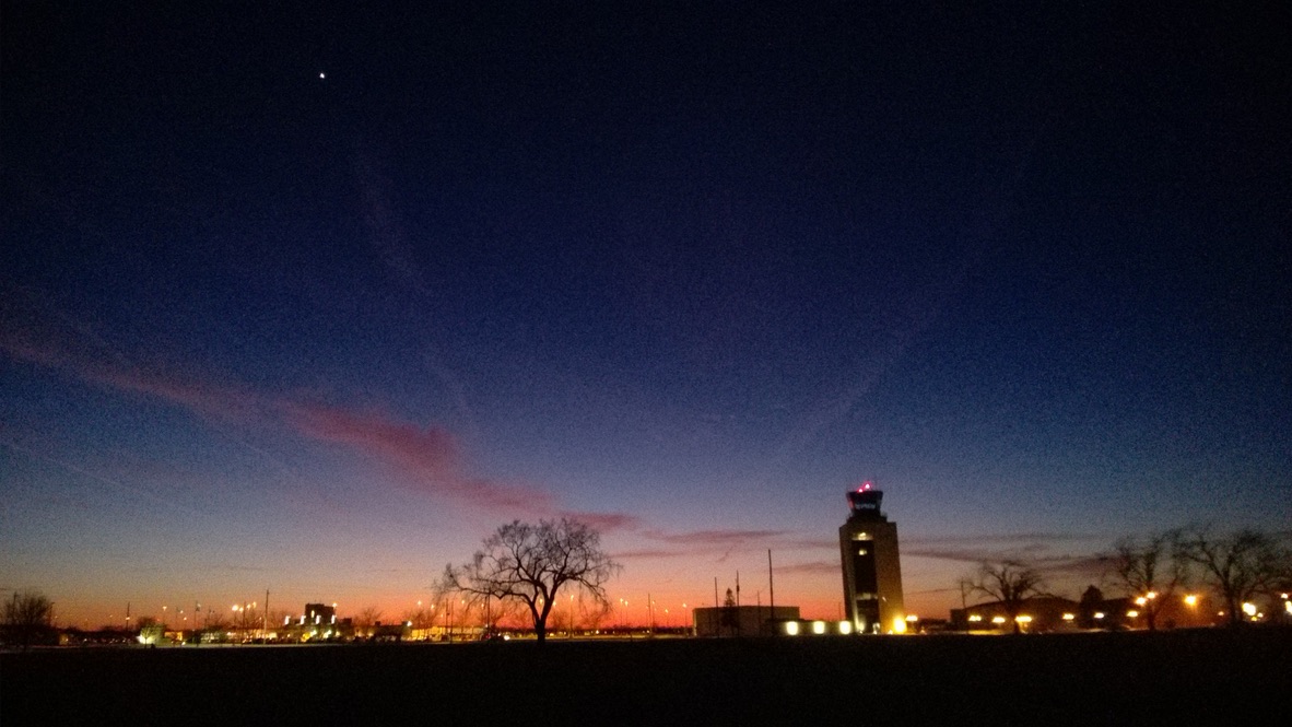
Sioux Gateway Airport (SUX) is the nearest airport with scheduled flights listed in OpenStreetMap, 2 miles away.
- South Sioux City 5 mi northwest, about 9 min by car
- Sioux City 7 mi north, about 11 min by car
- Moville 16 mi northeast, about 25 min by car
- Kingsley 23 mi northeast, about 38 min by car
- Le Mars 28 mi north, about 45 min by car
- Onawa 29 mi southeast, about 46 min by car
- Akron 31 mi north, about 51 min by car
- Vermillion 40 mi northwest, about 1 h by car
- Hawarden 42 mi north, about 1 h 15 min by car
- Orange City 44 mi north, about 1 h 15 min by car
Drive times are estimates from straight-line distance, not routes.
Local news
Headlines from INDB, the NEMICO news database.
Reviews, tips and questions
Loading what members have shared...
Sources and licences
- NCES EDGE (Public domain): public schools
- NOAA NCEI U.S. Climate Normals 1991-2020 (Public domain): climate by month
- OpenFEMA (Public domain): disaster declarations
- OpenStreetMap contributors (ODbL 1.0): places, airports, map data
- U.S. Census Bureau (Public domain): population, income, housing, education, commute
- Wikidata (CC0 1.0): elevation, founding date, time zone, website, landmarks and historic places
- Wikimedia Commons (see each image): photos
- Wikipedia (CC BY-SA 4.0): overview and history text
Photo credits
- Sergeant Bluff, IA, Jared Winkler, CC BY-SA 4.0
- Dakota City Emmanuel Lutheran from NE 1, Ammodramus, CC0
- Ictidomys tridecemlineatus 358404525, Curtis Meyers, CC BY-SA 4.0
- SUX Gateway sunset, Djh918, CC BY-SA 4.0
- JetEngineFailure, James L. Kolstad, Public domain
- FanDisk, James L. Kolstad, Public domain
- KC-135E 57-1447 - 070509-F-5570D-912-crlg, U.S. Air Force photo / Master Sgt. Vincent De Groot, Public domain
- KC-135E Stratotanker with patriotic nose art-1447cropped, U.S. Air Force photo / Master Sgt. Vincent De Groot, Public domain


Page built October 30, 2026. Spotted a mistake? Tell us or suggest a place.