
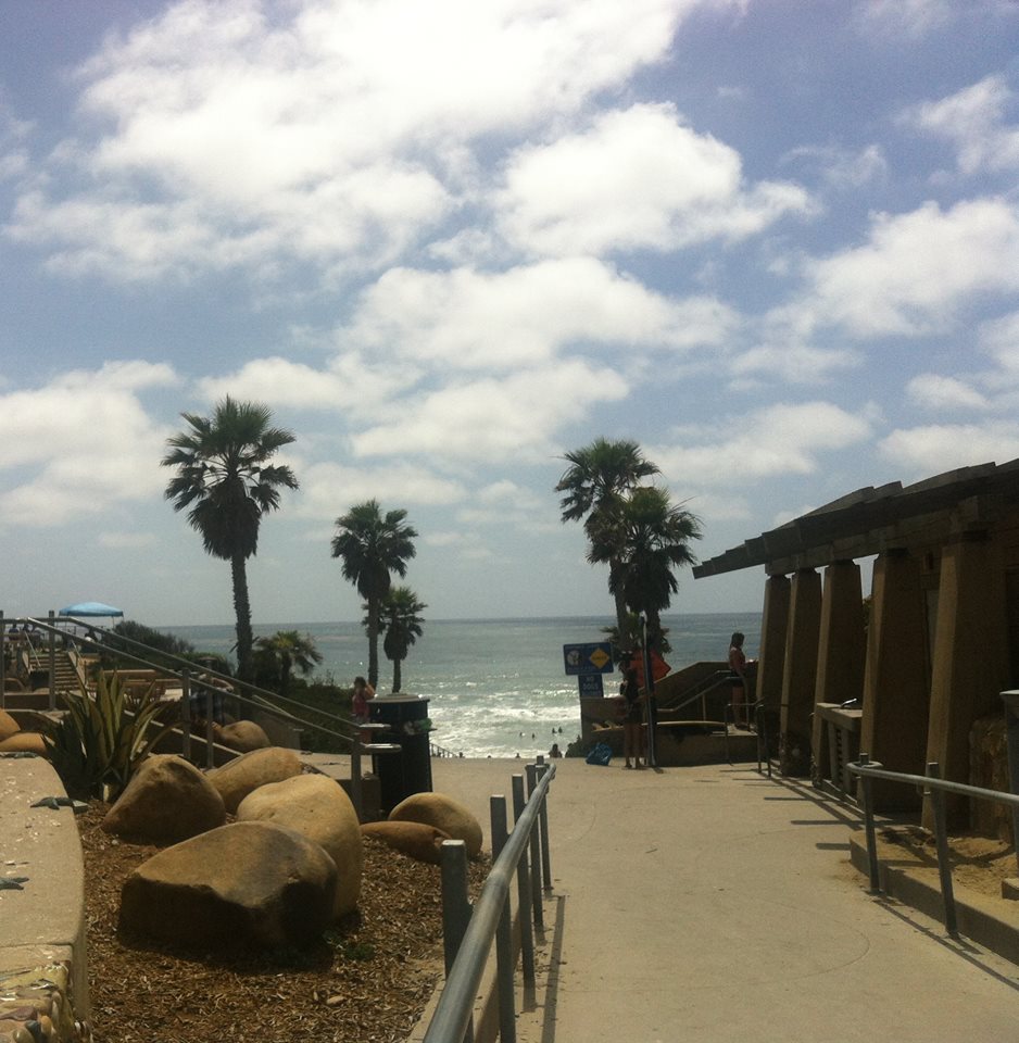


Solana Beach, California
Solana Beach is a city of 12,823 people in San Diego County, California, founded in 1986.
Why visit Solana Beach
Townapedia lists 4 museums and landmarks, 27 parks and trails, 51 places to eat, 7 places to stay and 3 attractions in and around town.
Highlights include Canfield-Wright House, Olivenhain Town Meeting Hall, San Diego County Fairgrounds and Fletcher Cove Beach Park.
Weather in Solana Beach
Forecast from the National Weather Service. Full forecast
About Solana Beach
Solana Beach (Solana, Spanish for "sunny side") is a beach city in San Diego County, California, on the South Coast. Its population was at 12,940 at the 2020 U.S. census, up from 12,867 at the 2010 census.
From the Wikipedia article Solana Beach, California (this version), under CC BY-SA 4.0.
Things to do3


Museums and landmarks4

Canfield-Wright House
Monument and historic site · National Register of Historic Places · 1.9 mi
Historic house in California, United States

Olivenhain Town Meeting Hall
Monument and historic site · National Register of Historic Places · 3.8 mi
Community meeting house in Olivenhain, California

Parks, trails and playgrounds27

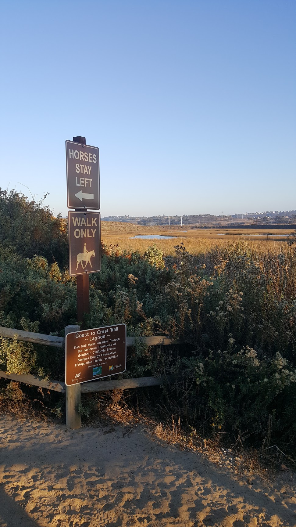


San Dieguito River Park
Park · 1.1 mi
Park in San Diego County, California

Lomas Santa Fe Country Club
Golf course · 0.7 mi
18 hole Par 72 Championship Course & 18 hole Par 56 Executive Course

15 more on the map.
Restaurants and cafes51

Brigantine Seafood & Oyster Bar
Restaurant · Seafood · 1.0 mi
3263 Camino del Mar, Del Mar
Mo-Th 11:30-21:00; Fr-Sa 11:30-22:00; Su 10:30-21:00
Milton's
Restaurant · Deli · 0.8 mi
2660 Via De La Valle, Del Mar
Mo-Fr 09:30-19:30; Su 08:30-19:30; Sa 08:30-20:00
Pizza Port
Restaurant · Pizza · 0.8 mi
135 Highway 101, Solana Beach
Mo-Su 11:00-22:00; Fr,Sa 11:00-24:00

Taste of Thai
Restaurant · Thai · 0.9 mi
15770, Del Mar
Mo-Fr 11:30-22:00; Sa 12:00-22:00; Su 12:00-21:00

Rudy's Taco Shop
Restaurant · Mexican
524 Stevens Avenue, Solana Beach
Mo-Sa 08:00-21:00; Su 08:00-20:00
Tony's Jacal
Restaurant · Mexican
623 Valley Avenue, Solana Beach
Mo-Sa 11:00-14:00; Tu off; Mo-Th 17:00-21:30; Fr-Sa 17:00-22:00;...

39 more on the map.
History
The area was first settled by the San Dieguitos, early Holocene inhabitants of the area. The area was later inhabited by the Kumeyaay, who set up a village they called Kulaumai, on the southern banks of San Elijo Lagoon. During the Spanish colonial era, trails heading north near Solana Beach crossed inland to avoid the marshes and inlets of the area.
From the History section of Solana Beach, California on Wikipedia, under CC BY-SA 4.0.
Where to stay7
Courtyard by Marriott San Diego del Mar/Solana Beach
Motel and hotel · 0.9 mi
717 Highway 101, Solana Beach
Churches and places of worship10
Saints Constantine and Helen Greek Orthodox Church
Church · Greek Orthodox · 1.9 mi
3459 Manchester Avenue, Cardiff-By-The-Sea
Saint James Catholic Church
Church · Roman Catholic · 0.6 mi
625 South Nardo Avenue, Solana Beach
Harvest Evangelical Church
Church · Evangelical · 1.8 mi
13885 El Camino Real, San Diego
St. Sarkis Armenian Apostolic Church
Church · Armenian Apostolic · 1.7 mi
13925 El Camino Real, San Diego
Shopping13
Gas and EV charging5
Schools, colleges and libraries53
Healthcare2
Sharp Rees-Stealy Medical Group
Clinic and pharmacy · 0.8 mi
2600 Via De La Valle
Map of Solana Beach
175 places. The map loads OpenStreetMap tiles when you open it.
People and cost of living
American Community Survey 5-year estimates, 2020-2024, U.S. Census Bureau. Estimates have margins of error, larger for small towns.
Disaster history
San Diego County has had 35 federal disaster declarations since 2000, most often for fires.
- 2024-02-19: Severe Storm And Flooding (Flood)
- 2023-01-14: Severe Winter Storms, Flooding, Landslides, And Mudslides (Flood)
- 2023-01-09: Severe Winter Storms, Flooding, And Mudslides (Flood)
- 2020-10-16: Wildfires (Fire)
- 2020-03-22: Covid-19 Pandemic (Biological)
- 2020-03-13: Covid-19 (Biological)
OpenFEMA disaster declarations summaries.
Getting there and nearby towns
McClellan-Palomar Airport (CLD) is the nearest airport with scheduled flights listed in OpenStreetMap, 9 miles away.
- Encinitas 4 mi north, about 7 min by car
- Carlsbad 10 mi north, about 15 min by car
- San Marcos 11 mi northeast, about 18 min by car
- San Diego 14 mi southeast, about 22 min by car
- Vista 14 mi north, about 22 min by car
- Escondido 14 mi northeast, about 23 min by car
- Poway 14 mi east, about 22 min by car
- Oceanside 16 mi north, about 26 min by car
- Santee 18 mi southeast, about 30 min by car
- Camp Pendleton South 19 mi northwest, about 30 min by car
Drive times are estimates from straight-line distance, not routes.
Local news
Headlines from INDB, the NEMICO news database.
Reviews, tips and questions
Loading what members have shared...
Sources and licences
- NCES EDGE (Public domain): public schools
- OpenFEMA (Public domain): disaster declarations
- OpenStreetMap contributors (ODbL 1.0): places, airports, map data
- U.S. Census Bureau (Public domain): population, income, housing, education, commute
- Wikidata (CC0 1.0): elevation, founding date, time zone, website, landmarks and historic places
- Wikimedia Commons (see each image): photos
- Wikipedia (CC BY-SA 4.0): overview and history text
Photo credits
- Solana Beach, June 2013, Db9023, CC BY-SA 3.0
- Solana Beach, CA, USA - panoramio (1), Mountain Mike Johans…, CC BY 3.0
- Solana Beach, CA, USA - panoramio - Sergei Gussev (19), Sergei Gussev, CC BY 3.0
- Bike lockers Solana beach, Mds08011, CC BY 4.0
- Amtrak Station @ Solana beach CA. - panoramio, Loco Steve, CC BY 3.0
- Bridge at Solana Beach Station, Mds08011, CC BY 4.0
- Amtrak Station @ Solana beach CA. - panoramio (1), Loco Steve, CC BY 3.0
- Pacific Surfliner @ Solana beach CA. - panoramio (1), Loco Steve, CC BY 3.0
- Solana Beach (Amtrak station) 2 2016-06-02, F ASTILY, CC BY-SA 4.0
- Solana Beach (Amtrak station) 3 2016-06-02, F ASTILY, CC BY-SA 4.0
- Pacific Surfliner @ Solana beach CA. - panoramio, Loco Steve, CC BY 3.0
- Solana Beach Amtrak station building, Mds08011, CC BY 4.0
- Entrance to Solana Beach Amtrak Station, Mds08011, CC BY 4.0
- Bridge and Elevators Solana Beach station, Mds08011, CC BY 4.0
- Steps at Solana Beach station, Mds08011, CC BY 4.0
- Two Coaster train at Solana Beach, Mds08011, CC BY 4.0
- Solana Beach (Amtrak station) 1 2016-06-02, F ASTILY, CC BY-SA 4.0
- Surfliner engine Solana beach, Mds08011, CC BY 4.0
- Pacific Surfliner @ Solana beach Ca. (6447337399), Loco Steve from Bromley , UK, CC BY 2.0
- Pacific Surfliner @ Solana beach Ca. (6447344153), Loco Steve from Bromley , UK, CC BY 2.0
- Olivenhain Meeting House, Djarvis73, CC BY-SA 3.0
- 2010-1026-CanfieldWrightHouse, Bobak Ha'Eri, CC BY 3.0
- Coast to Crest Trail, Carmelvalleyman, CC BY-SA 4.0
- DirtyDozenBrassBand 20080831, Candace Paulman, CC BY-SA 3.0
- Miniature lupine, Lupinus bicolor (15869275437), Jim Morefield from Nevada, USA, CC BY-SA 2.0
- American Rapper, Overlord Gruff, Guano Records, CC BY-SA 4.0
- Leroy Schreiber, This image was created and released by the Imperial War Museum on the IWM Non Commercial Licence . Photographs taken, or artworks created, by a member of the forces during their active service duties..., Public domain
- San Diego County (29211892210), Sergei Gussev, CC BY 2.0
- Embrace (Unsplash), Christiana Rivers christiana, CC0
- Solana Station entrance, Mds08011, CC BY 4.0
- Pronto ticket machine, Mds08011, CC BY 4.0
- Pronto and Compass Ticket Machines, Mds08011, CC BY 4.0
- Coaster Engine at Solana Station, Mds08011, CC BY 4.0
- Pronto fare stand, Mds08011, CC BY 4.0
- Coaster at Solana, Mds08011, CC BY 4.0
- San Diego County (29793639505), Sergei Gussev, CC BY 2.0
- San Diego County (29710885091), Sergei Gussev, CC BY 2.0
- San Diego County (29757612306), Sergei Gussev, CC BY 2.0
- San Diego County (29168024263), Sergei Gussev, CC BY 2.0
- San Diego County (29410547381), Sergei Gussev, CC BY 2.0


Page built October 30, 2026. Spotted a mistake? Tell us or suggest a place.