


Why visit Adana
Townapedia lists 32 museums and landmarks, 30 parks and trails, 157 places to eat, 21 places to stay and 9 attractions in and around town.
Highlights include Taşköprü, Çatalan Bridge, Adana Archaeology Museum and Adana Cinema Museum.
Weather in Adana
Forecast from MET Norway (CC BY 4.0). Full forecast
About Adana
Adana is a large city in southern Turkey. The city is situated on the Seyhan River, 35 km (22 mi) inland from the northeastern shores of the Mediterranean Sea. It is the administrative seat of the Adana province, and has a metro population of 1,816,750 (Seyhan, Yuregir, Cukurova, Saricam).
From the Wikipedia article Adana (this version), under CC BY-SA 4.0.
Travel tips from other travellers: Adana on Wikivoyage (CC BY-SA 4.0).
Things to do9


Devlet Bahçeli Bridge
Bridge · 5.1 km
Bridge in Adana, southern Turkey

Sabancı Cultural Center
Cinema and theater · 0.7 km
Cultural centre in Adana, Turkey

Museums and landmarks32


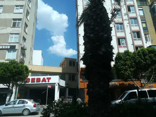


Ilter Uzel Museum of Medicine and Dentistry
Museum · 0.6 km
Museum in Seyhan District




20 more on the map.
Parks, trails and playgrounds30






18 more on the map.
Restaurants and cafes157
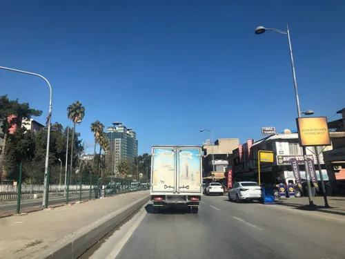
Pizza Taxi Cumhuriyet
Restaurant · Pizza, Fast Food, Içli Köfte · 1.2 km
33/1 Karataş Bulvarı, Cumhuriyet Mahallesi
Mo-Su 10:00-22:00
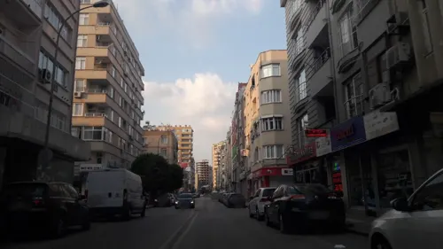
Ciğerci Mahmut
Restaurant · Turkish · 1.2 km
36/A Ordu Caddesi
Mo-Su 07:00-21:00

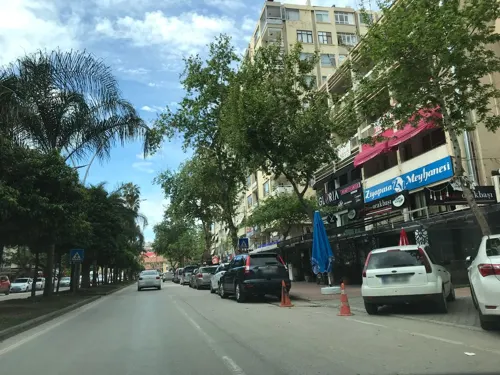


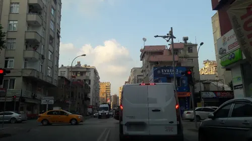
Cigerci Mahmut 'vidoco'
Restaurant · 1.1 km
36/A Ordu caddesi
Mo-Su 07:00-21:00
Köylüm Döner
Restaurant · Kebab, Regional · 2.1 km
68 565 Sokak, Adana


145 more on the map.
Where to stay21
Churches and places of worship38
Shopping68
Gas and EV charging12
Schools, colleges and libraries30
Adana Alparslan Türkeş Science and Technology University
School · 7.9 km
Healthcare176
Map of Adana
250 places. The map loads OpenStreetMap tiles when you open it.
Getting there and nearby towns
Adana Şakirpaşa Havalimanı (ADA) is the nearest airport with scheduled flights listed in OpenStreetMap, 4 km away.
- Hıdırlı 6 km south, about 6 min by car
- Havutlu 7 km south, about 7 min by car
- Karslı 8 km north, about 8 min by car
- Kurttepe 9 km northwest, about 9 min by car
- Sarıhamzalı 9 km west, about 9 min by car
- Alihocalı 9 km southeast, about 9 min by car
- Yalmanlı 10 km south, about 10 min by car
- Köklüce 10 km southeast, about 10 min by car
- Kireçocağı 11 km northwest, about 11 min by car
- Esentepe 11 km northwest, about 11 min by car
Drive times are estimates from straight-line distance, not routes.
Local news
Headlines from INDB.
Reviews, tips and questions
Loading what members have shared...
Sources and licences
- GeoNames (CC BY 4.0): population, coordinates, regions and time zone
- Mapillary (see each image): photos
- OpenStreetMap contributors (ODbL 1.0): places, airports, map data
- Wikidata (CC0 1.0): elevation, founding date, time zone, website, landmarks and historic places
- Wikimedia Commons (see each image): photos
- Wikipedia (CC BY-SA 4.0): overview and history text
Photo credits
- Adana1, Anatolianpride, Public domain
- Adana Kemeraltı Mosque Exterior in 2013 01, Dosseman, CC BY-SA 4.0
- Adana Kemeraltı Mosque Exterior in 2013 02, Dosseman, CC BY-SA 4.0
- Adana Saydam Caddesi in 2010 17 1620, Dosseman, CC BY-SA 4.0
- Adana Bebekli Kilisesi Interior at Christmas time in 2010 12 3051, Dosseman, CC BY-SA 4.0
- Adana Bebekli Kilisesi Interior at Christmas time in 2010 04 3042, Dosseman, CC BY-SA 4.0
- Adana Bebekli Kilisesi Interior in 2010 02 3040, Dosseman, CC BY-SA 4.0
- Adana Bebekli Kilisesi Exterior in 2010 01 3055, Dosseman, CC BY-SA 4.0
- Ziraat Bankası, Adana 2026-10-04 15.04.32 1791133726, Julvsel, CC BY-SA 4.0
- Adana Saydam Caddesi in 2010 18 1621, Dosseman, CC BY-SA 4.0
- Adana Saydam Caddesi in 2010 19 1622, Dosseman, CC BY-SA 4.0
- Deputy Secretary Blinken and Adana Gov. Buyuk Meet With Refugee Students in Adana, Turkey (22852592120), U.S. Department of State from United States, Public domain
- Deputy Secretary Higginbottom Arrives at the Syrian Refugee Camp in Adana, U.S. Department of State, Public domain
- Deputy Secretary Blinken Joins Refugee Students in a Song at a School in Adana, Turkey (22852591900), U.S. Department of State from United States, Public domain
- Deputy Secretary Blinken Chats With Refugee Students at a School in Adana, Turkey (22754242687), U.S. Department of State from United States, Public domain
- Deputy Secretary Blinken and Adana Gov. Buyuk Meet With Refugee Students in Adana, Turkey (23148397545), U.S. Department of State from United States, Public domain
- Deputy Secretary Blinken Prepares to Distribute Textbooks to Refugee Students at a School in Adana, Turkey (23158794582), U.S. Department of State from United States, Public domain
- Adana, Reşatbey Mh., Seyhan-Adana, Turkey - panoramio (21), Ben Bender, CC BY-SA 3.0
- Adana New Mosque Interior in 2019 08, Dosseman, CC BY-SA 4.0
- Adana New Mosque Interior in 2019 04, Dosseman, CC BY-SA 4.0
- Adana New Mosque Interior in 2019 05, Dosseman, CC BY-SA 4.0
- Adana Seyhan Barajı - panoramio, reyhan_kahraman@hotm…, CC BY 3.0
- Demirköprü railway bridge in Adana, Seyhan668, CC BY-SA 3.0
- Adana Cinema Museum, Turkey, Nedim Ardoğa, CC BY-SA 3.0
- Ataturk Museum in Adana, Seyhan668, CC BY-SA 3.0
- Ilter UZEL Museum of Medicine and Dentistry 3, Gökhan Can Wikipedia, CC BY-SA 2.0
- Central pathway at the Merkez Park, Seyhan668, CC BY-SA 4.0
- Kuruköprü Church, front view, Seyhan668, CC BY-SA 4.0
- Adana Armenian Protestant Church, Unknown author Unknown author, Public domain
- ÇU Beyazevler Campus, Seyhan668, CC BY-SA 3.0
- Taşköprü'nün Panoramik Fotoğrafı, MUSTAFA TOR, CC BY-SA 2.5
- Adana Archaeology Museum (34243633532) (2), John Lubbock, CC BY-SA 2.0
- Adana Saint Paul Catholic Church, Seyhan668, CC BY-SA 3.0
- Sabancimosque19082006, Marcello Casal Jr/ABr., CC BY 3.0 br
- Adana Yağ Mosque, 2005, Mehmet E Yavuz, CC BY 3.0
- Sheraton Hotel Adana and Seyhan River (crop), ThibautRe, CC BY-SA 4.0
- Atatürk Parkı (Adana) 2026-10-04 15.52.29 1791143917, Julvsel, CC BY-SA 4.0
- Adana Ağca Mescit Exterior in 2008 16 4990, Dosseman, CC BY-SA 4.0
- Adana Şeyh Zülvo Camii in 2019 08 0558, Dosseman, CC BY-SA 4.0
- Adana Şeyhoğlu Camii in 2019 06 0675, Dosseman, CC BY-SA 4.0
- Adana Alemdar Mosque in 2010 02 1630, Dosseman, CC BY-SA 4.0
- 15 Temmuz Köprüsü, Seyhan668, CC0
- Adana Kapalı Çarşı in 2013 14 9812, Dosseman, CC BY-SA 4.0
- Şakir Efendi Konağı 2026-10-04 13.48.19 1791227628, Julvsel, CC BY-SA 4.0
- Street-level photo, harunuz, CC BY-SA 4.0
- Street-level photo, samil, CC BY-SA 4.0
- Street-level photo, kerim10, CC BY-SA 4.0
- Street-level photo, samil, CC BY-SA 4.0
- Street-level photo, samil, CC BY-SA 4.0
- Street-level photo, hderinoz, CC BY-SA 4.0
- Street-level photo, kerim10, CC BY-SA 4.0
- Street-level photo, harunuz, CC BY-SA 4.0
- Street-level photo, samil, CC BY-SA 4.0
- Street-level photo, samil, CC BY-SA 4.0
- Street-level photo, harunuz, CC BY-SA 4.0
- Street-level photo, samil, CC BY-SA 4.0
- Street-level photo, samil, CC BY-SA 4.0
- Street-level photo, samil, CC BY-SA 4.0
- Street-level photo, samil, CC BY-SA 4.0
- Street-level photo, harunuz, CC BY-SA 4.0
- Street-level photo, kdrsrsln, CC BY-SA 4.0
- Street-level photo, samil, CC BY-SA 4.0
- Street-level photo, samil, CC BY-SA 4.0
- Street-level photo, samil, CC BY-SA 4.0
- Street-level photo, harunuz, CC BY-SA 4.0
- Street-level photo, kunduzh, CC BY-SA 4.0
- Street-level photo, kdrsrsln, CC BY-SA 4.0


Page built November 8, 2026. Spotted a mistake? Tell us or suggest a place.