


Ahmetli, Turkey
Ahmetli is a town of 11,377 people in Manisa, Turkey, founded in July 4, 1987.
Why visit Ahmetli
Townapedia lists 14 museums and landmarks, 2 parks and trails and 15 places to eat in and around town.
Highlights include Sardis and Bintepe.
Weather in Ahmetli
Forecast from MET Norway (CC BY 4.0). Full forecast
About Ahmetli
Ahmetli is a municipality and district of Manisa Province, Turkey. Its area is 227 km2, and its population is 16,963 (2022). The town lies at an elevation of 90 m (295 ft), near the river Gediz.
From the Wikipedia article Ahmetli (this version), under CC BY-SA 4.0.
Museums and landmarks14

Sardis
Monument and historic site · 9.5 km
Ancient city in Anatolia, today an archaeological site at Sart, Turkey

Kaymakçı Tepe
Monument and historic site · 11.6 km
Bronze Age archaeological site overlooking Marmara Lake in Manisa Province, Turkey.
Lasnedda
Monument and historic site · 15.1 km
Ancient city of Lydia in modern-day Turkey
Tmolos
Monument and historic site · 7.2 km
Archeological site in Turkey

2 more on the map.
Parks, trails and playgrounds2

Restaurants and cafes15


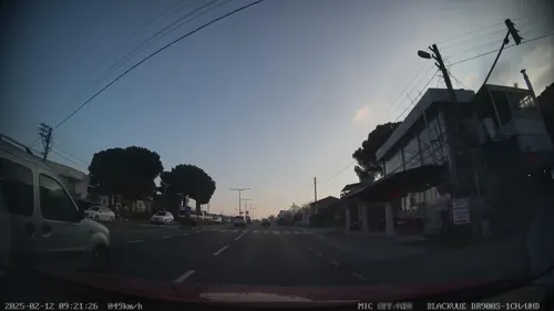
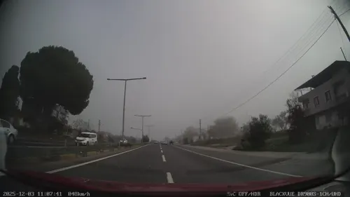
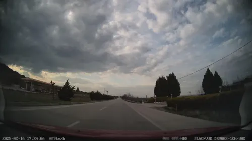

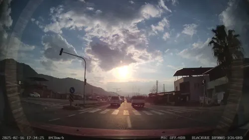
3 more on the map.
Churches and places of worship3



History
By the end of Greek Invasion of Anatolia, Ahmetli and all its surrounding villages were burned by the retreating Greek forces. The Greek soldier Giannis Koutsonicolas from Arahova describes the events with the following words;
in the evening we left and passing through Ahmetli we burned it, as well as all the villages, marching all night, and almost in the morning we reached Kasaba which was being burned, as well as Çobanisa and Manisa and all the villages.
From the History section of Ahmetli on Wikipedia, under CC BY-SA 4.0.
Shopping1
Gas and EV charging22
Schools, colleges and libraries1
Healthcare10
Map of Ahmetli
68 places. The map loads OpenStreetMap tiles when you open it.
Getting there and nearby towns
Adnan Menderes Airport (ADB) is the nearest airport with scheduled flights listed in OpenStreetMap, 73 km away.
- Salihli 19 km east, about 19 min by car
- Turgutlu 21 km west, about 21 min by car
- Ödemiş 33 km south, about 33 min by car
- Kiraz 40 km southeast, about 40 min by car
- Bayındır 42 km southwest, about 42 min by car
- Manisa 46 km west, about 46 min by car
- Akhisar 45 km north, about 45 min by car
- Kemalpaşa 47 km west, about 47 min by car
- Tire 51 km south, about 51 min by car
- Bornova 61 km west, about 1 h by car
Drive times are estimates from straight-line distance, not routes.
Local news
Headlines from INDB.
Reviews, tips and questions
Loading what members have shared...
Sources and licences
- GeoNames (CC BY 4.0): population, coordinates, regions and time zone
- Mapillary (see each image): photos
- OpenStreetMap contributors (ODbL 1.0): places, airports, map data
- Wikidata (CC0 1.0): elevation, founding date, time zone, website, landmarks and historic places
- Wikimedia Commons (see each image): photos
- Wikipedia (CC BY-SA 4.0): overview and history text
Photo credits
- Ahmetli station, Btian P. Dorsam, CC BY-SA 4.0
- Ahmetli Tren stasyonu 2024-04-05 1760386221, RedDwarf99, CC BY-SA 4.0
- 45450 Kendirlik-Ahmetli-Manisa, Turkey - panoramio, izzettin ekinci, CC BY-SA 3.0
- The Bath-Gymnasium complex at Sardis, late 2nd - early 3rd century AD, Sardis, Turkey (17098680002), Carole Raddato from FRANKFURT, Germany, CC BY-SA 2.0
- Artemistempel Sardes, Klaus-Peter Simon, CC BY 3.0
- ISS045-E-145193 - View of Earth, Earth Science and Remote Sensing Unit , Lyndon B. Johnson Space Center, Public domain
- ISS045-E-147894 - View of Earth, Earth Science and Remote Sensing Unit , Lyndon B. Johnson Space Center, Public domain
- ISS045-E-141329 - View of Earth, Earth Science and Remote Sensing Unit , Lyndon B. Johnson Space Center, Public domain
- ISS045-E-145194 - View of Earth, Earth Science and Remote Sensing Unit , Lyndon B. Johnson Space Center, Public domain
- ISS045-E-141330 - View of Earth, Earth Science and Remote Sensing Unit , Lyndon B. Johnson Space Center, Public domain
- ISS045-E-147893 - View of Earth, Earth Science and Remote Sensing Unit , Lyndon B. Johnson Space Center, Public domain
- ISS065-E-10214 - View of Earth, Earth Science and Remote Sensing Unit , Lyndon B. Johnson Space Center, Public domain
- ISS045-E-147895 - View of Earth, Earth Science and Remote Sensing Unit , Lyndon B. Johnson Space Center, Public domain
- Alahıdır - panoramio, mdinckal, CC BY 3.0
- Kendirlik köyü üzüm bağları - panoramio, izzettin ekinci, CC BY-SA 3.0
- ISS045-E-147896 - View of Earth, Earth Science and Remote Sensing Unit , Lyndon B. Johnson Space Center, Public domain
- ISS065-E-10215 - View of Earth, Earth Science and Remote Sensing Unit , Lyndon B. Johnson Space Center, Public domain
- Sardes - panoramio, Martin Haeusler, CC BY-SA 3.0
- Temple of Artemis in Sardes with the cranes used in excavations, Raicem, CC BY-SA 4.0
- Sardes te 1900 lü yıllarda kazılarda kullanılan vinç longuner - panoramio, longuner, CC BY-SA 3.0
- Temple of Artemis in Sardes, Raicem, CC BY-SA 4.0
- Sardes Artemis Tapınağı 2022-02-13 16.39.15 1790843612, Seymark, CC BY-SA 4.0
- Sardes Artemis Tapınağı 2022-02-13 16.41.51 1790843642, Seymark, CC BY-SA 4.0
- Sardes Artemis Tapınağı 2022-02-13 16.35.58 1790843593, Seymark, CC BY-SA 4.0
- Sardes Artemis Tapınağı 2026-07-04 21.32.38 1791020909, Yalçın Akkaya, CC BY-SA 4.0
- Micromeria myrtifolia 495077421, Umut Nuri Erdoğan, CC BY 4.0
- Micromeria myrtifolia 495077422, Umut Nuri Erdoğan, CC BY 4.0
- Micromeria myrtifolia 495077395, Umut Nuri Erdoğan, CC BY 4.0
- Sart - panoramio, Martin Haeusler, CC BY-SA 3.0
- Sart station, Btian P. Dorsam, CC BY-SA 4.0
- 20230429 Gymnasium at Sardis 6, Basak, CC BY-SA 4.0
- Sardes Antik Kenti, Manisa, Túrkiya, Janabaevazizbek, CC BY-SA 4.0
- Sardes Gymnasium Termal Havuz 2026-05-30 16.25.00 1792356509, Ozlmktv, CC BY-SA 4.0
- Sardes Gymnasium Termal Havuz 2026-05-30 16.24.48 1792356517, Ozlmktv, CC BY-SA 4.0
- Sardes Gymnasium Termal Havuz 2026-05-30 16.26.10 1792356521, Ozlmktv, CC BY-SA 4.0
- Sardes Gymnasium Termal Havuz 2026-05-30 16.29.13 1792356537, Ozlmktv, CC BY-SA 4.0
- Sardes Gymnasium Termal Havuz 2026-05-30 16.21.16 1792356492, Ozlmktv, CC BY-SA 4.0
- Sardes Gymnasium Termal Havuz 2026-05-30 16.30.02 1792356519, Ozlmktv, CC BY-SA 4.0
- 20230429 Gymnasium at Sardis 3, Basak, CC BY-SA 4.0
- 20230429 Gymnasium at Sardis 4, Basak, CC BY-SA 4.0
- Greek gymnasium in Sardes from below, Raicem, CC BY-SA 4.0
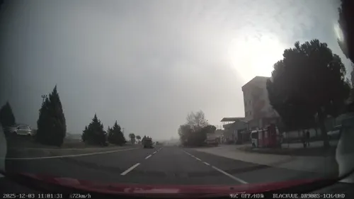
- Street-level photo, unen, CC BY-SA 4.0
- Street-level photo, unen, CC BY-SA 4.0
- Street-level photo, unen, CC BY-SA 4.0
- Street-level photo, unen, CC BY-SA 4.0
- Street-level photo, hilalla, CC BY-SA 4.0
- Street-level photo, unen, CC BY-SA 4.0
- Street-level photo, unen, CC BY-SA 4.0
- Street-level photo, unen, CC BY-SA 4.0
- Street-level photo, unen, CC BY-SA 4.0
- Street-level photo, unen, CC BY-SA 4.0
- Street-level photo, unen, CC BY-SA 4.0
- Street-level photo, unen, CC BY-SA 4.0
- Street-level photo, unen, CC BY-SA 4.0
- Street-level photo, kubikanber, CC BY-SA 4.0
- Street-level photo, hilalla, CC BY-SA 4.0
- Street-level photo, unen, CC BY-SA 4.0
- Street-level photo, unen, CC BY-SA 4.0


Page built November 8, 2026. Spotted a mistake? Tell us or suggest a place.