


Why visit Altınoluk
Townapedia lists 1 museum or landmark, 4 parks and trails, 12 places to eat, 4 places to stay and 11 attractions in and around town.
Highlights include Antandrus.
Weather in Altınoluk
Forecast from MET Norway (CC BY 4.0). Full forecast
About Altınoluk
Altınoluk, formerly Papazlık, is a summer resort and neighbourhood of the municipality and district of Edremit, Balıkesir Province, Turkey. Its population is 7,004 (2022). Before the 2013 reorganisation, it was a town (belde). It is located 25 km (16 mi) west of Edremit, at the northern coast of Edremit Gulf and on Mount Kazdağı hills.
From the Wikipedia article Altınoluk (this version), under CC BY-SA 4.0.
Travel tips from other travellers: Altınoluk on Wikivoyage (CC BY-SA 4.0).
Things to do11


Museums and landmarks1

Antandrus
Monument and historic site · 4.6 km
Ancient city of Troas in modern-day Turkey
Parks, trails and playgrounds4


Restaurants and cafes12

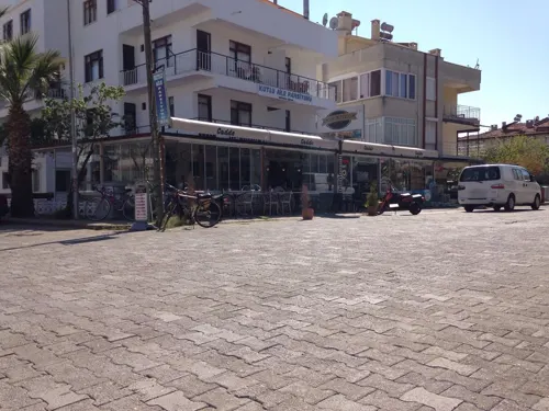
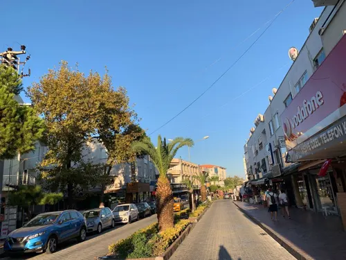
Altınoluk Doğa Restaurant
Restaurant · Turkish, Steak House, Fish, Salad · 1.9 km
51 Duyuran Köyü Yolu, Balıkesir




Altınoluk Balıkçısı
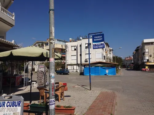
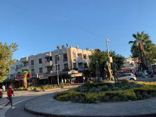
Fast food · Fish And Chips, Fish, Steak House, Salad · 2.3 km


Where to stay4
Churches and places of worship1
Shopping7
Gas and EV charging2
Schools, colleges and libraries3
Healthcare2
Map of Altınoluk
47 places. The map loads OpenStreetMap tiles when you open it.
Getting there and nearby towns
Balıkesir Koca Seyit Airport (EDO) is the nearest airport with scheduled flights listed in OpenStreetMap, 23 km away.
- Burhaniye 22 km southeast, about 22 min by car
- Gömeç 23 km southeast, about 23 min by car
- Evciler 22 km north, about 22 min by car
- Edremit 25 km east, about 25 min by car
- Şarköy 23 km southeast, about 23 min by car
- Börezli 26 km east, about 26 min by car
- Kızıklı 27 km east, about 27 min by car
- Ayvalık 29 km south, about 29 min by car
- Ayvacık 29 km west, about 29 min by car
- Çanakkale 70 km northwest, about 1 h 15 min by car
Drive times are estimates from straight-line distance, not routes.
Local news
Headlines from INDB.
Reviews, tips and questions
Loading what members have shared...
Sources and licences
- GeoNames (CC BY 4.0): population, coordinates, regions and time zone
- Mapillary (see each image): photos
- OpenStreetMap contributors (ODbL 1.0): places, airports, map data
- Wikidata (CC0 1.0): elevation, founding date, time zone, website, landmarks and historic places
- Wikimedia Commons (see each image): photos
- Wikipedia (CC BY-SA 4.0): overview and history text
Photo credits
- Altinoluk, Original uploader was Serkolemma at tr.wikipedia, CC BY 2.5
- Altınoluk meydandan deniz - panoramio, nevzat demir, CC BY-SA 3.0
- Altınoluk merkez camii - panoramio (1), nevzat demir, CC BY-SA 3.0
- Altınoluk meydan - panoramio, nevzat demir, CC BY-SA 3.0
- Altınoluk meydan - panoramio (2), nevzat demir, CC BY-SA 3.0
- Altınoluk çay bahçesi - panoramio, nevzat demir, CC BY-SA 3.0
- Altınoluk meydan - panoramio (1), nevzat demir, CC BY-SA 3.0
- Altınoluk - panoramio (2), nevzat demir, CC BY-SA 3.0
- Altınoluk meydan - panoramio (3), nevzat demir, CC BY-SA 3.0
- Altınoluk dan görünüş - panoramio, nevzat demir, CC BY-SA 3.0
- Altınoluk - panoramio (1), nevzat demir, CC BY-SA 3.0
- Altınoluk - panoramio (3), nevzat demir, CC BY-SA 3.0
- Altınoluk kaz dağları - panoramio, nevzat demir, CC BY-SA 3.0
- Altınoluk merkez camii - panoramio, nevzat demir, CC BY-SA 3.0
- Altınoluk, liman-Akçam hotel manzara - panoramio, Allen Turner, CC BY-SA 3.0
- Altınoluk - panoramio, Halit Edip Özcan, CC BY-SA 3.0
- Antandros3, Klaus-Peter Simon, CC BY-SA 3.0
- 10870 Altinoluk Belediyesi-Edremit-Balıkesir Province, Turkey - panoramio, nevzat demir, CC BY-SA 3.0
- 10870 Altinoluk Belediyesi-Edremit-Balıkesir Province, Turkey - panoramio (3), nevzat demir, CC BY-SA 3.0
- 10870 Altinoluk Belediyesi-Edremit-Balıkesir Province, Turkey - panoramio (2), nevzat demir, CC BY-SA 3.0
- 10870 Altinoluk Belediyesi-Edremit-Balıkesir Province, Turkey - panoramio (4), nevzat demir, CC BY-SA 3.0
- Çam mah. meydanı - panoramio, Allen Turner, CC BY-SA 3.0
- 10870 Altinoluk Belediyesi-Edremit-Balıkesir Province, Turkey - panoramio (1), nevzat demir, CC BY-SA 3.0
- Çam mah. (köy) camii - panoramio, Allen Turner, CC BY-SA 3.0
- Tarihi hamam - panoramio, Allen Turner, CC BY-SA 3.0
- Edremit Körfezi, doğu manzara - panoramio, Allen Turner, CC BY-SA 3.0
- Edremit Körfezi, orta manzara - panoramio, Allen Turner, CC BY-SA 3.0
- Edremit Körfezi, batı manzara - panoramio, Allen Turner, CC BY-SA 3.0
- Çam ağaçları - panoramio, Allen Turner, CC BY-SA 3.0
- Toprak yolu - panoramio, Allen Turner, CC BY-SA 3.0
- Akçay'ya - panoramio, Allen Turner, CC BY-SA 3.0
- Çalılık ve ağaçlar - panoramio, Allen Turner, CC BY-SA 3.0
- Fatih Cad. Parkı - panoramio, Allen Turner, CC BY-SA 3.0
- Alibey adalar - panoramio, Allen Turner, CC BY-SA 3.0
- Sahil - panoramio - Allen Turner, Allen Turner, CC BY-SA 3.0
- Sahil - panoramio - Allen Turner (1), Allen Turner, CC BY-SA 3.0
- Toprak yolu - panoramio - Allen Turner, Allen Turner, CC BY-SA 3.0
- PTT külesi - panoramio, Allen Turner, CC BY-SA 3.0
- Şahinderesi 01, Superkans, CC BY-SA 4.0
- Şahinderesi 02, Superkans, CC BY-SA 4.0
- Street-level photo, wiktorn, CC BY-SA 4.0
- Street-level photo, unen, CC BY-SA 4.0
- Street-level photo, unen, CC BY-SA 4.0
- Street-level photo, doriel, CC BY-SA 4.0
- Street-level photo, unen, CC BY-SA 4.0
- Street-level photo, asturksever, CC BY-SA 4.0
- Street-level photo, ramses, CC BY-SA 4.0
- Street-level photo, unen, CC BY-SA 4.0
- Street-level photo, ramses, CC BY-SA 4.0
- Street-level photo, wiktorn, CC BY-SA 4.0


Page built November 8, 2026. Spotted a mistake? Tell us or suggest a place.