


Why visit Ayaş
Townapedia lists 15 museums and landmarks, 1 park or trail, 2 places to eat and 5 places to stay in and around town.
Highlights include Elaiussa Sebaste and Paşa Türbesi.
Weather in Ayaş
Forecast from MET Norway (CC BY 4.0). Full forecast
About Ayaş
Ayaş is a neighbourhood in the municipality and district of Erdemli, Mersin Province, Turkey. Its population is 2,634 (2022). Before the 2013 reorganisation, it was a town (belde).
From the Wikipedia article Ayaş, Mersin (this version), under CC BY-SA 4.0.
Museums and landmarks15


Adamkayalar
Monument and historic site · 5.0 km
Roman archaeological site in Turkey

Çanakçı rock tombs
Monument and historic site · 4.3 km
Rock carved figures in Mersin Province, Turkey

Corycus
Monument and historic site · 2.9 km
Archeological site in Turkey

Kabaçam
Monument and historic site · 3.9 km
Roman archaeological ruin in Turkey

Kanlıdivane
Monument and historic site · 4.5 km
Archeological site in Turkey


Tower of Gömeç
Monument and historic site · 3.7 km
Ancient tower in Turkey


3 more on the map.
Parks, trails and playgrounds1

Restaurants and cafes2
Where to stay5




History
Ayaş had been inhabited since the ancient ages. Ancient Ayas was an island named Elaiussa and a town on the shore facing the island named Sebaste. Archelaus of Cappadocia had a palace in Elaiussa. But the island had since been joined the mainland because of alivion accumulation. During middle age, Elaiussa Sebaste lost its former importance. After the 12th century, the ruins of the former town became a battle ground between the Armenian Kingdom of Cilicia and the Karamanids. The area around the former town was incorporated into Ottoman Empire in the 15th century and it became the grazing area of a nomadic Turkmen tribe named Ayaş. A part of the tribe settled in the village named after Ayaş and, in 1989, it was incorporated into Kumkuyu municipality on the east. In 1999, Ayaş was declared a town and issued from Kumkuyu municipality.
From the History section of Ayaş, Mersin on Wikipedia, under CC BY-SA 4.0.
Churches and places of worship2
Shopping1
Gas and EV charging1
Map of Ayaş
27 places. The map loads OpenStreetMap tiles when you open it.
Getting there and nearby towns
Çukurova International Airport (COV) is the nearest airport with scheduled flights listed in OpenStreetMap, 91 km away.
- Kızkalesi 4 km southwest, about 4 min by car
- Narlıkuyu 7 km southwest, about 7 min by car
- Batısandal 9 km north, about 9 min by car
- Limonlu 11 km northeast, about 11 min by car
- Erdemli 18 km northeast, about 18 min by car
- Silifke 25 km southwest, about 25 min by car
- Tosmurlu 27 km southwest, about 27 min by car
- Tece 34 km northeast, about 34 min by car
- Mersin 55 km northeast, about 55 min by car
- Tarsus 80 km northeast, about 1 h 15 min by car
Drive times are estimates from straight-line distance, not routes.
Local news
Headlines from INDB.
Reviews, tips and questions
Loading what members have shared...
Sources and licences
- GeoNames (CC BY 4.0): population, coordinates, regions and time zone
- Mapillary (see each image): photos
- OpenStreetMap contributors (ODbL 1.0): places, airports, map data
- Wikidata (CC0 1.0): elevation, founding date, time zone, website, landmarks and historic places
- Wikimedia Commons (see each image): photos
- Wikipedia (CC BY-SA 4.0): overview and history text
Photo credits
- Ayaş sahil-Mersin - panoramio, HALUK COMERTEL, CC BY 3.0
- Ayaş beach.Mersin - panoramio, Haluk Comertel, CC BY 3.0
- AYAŞ -MERSİN - panoramio, HALUK COMERTEL, CC BY 3.0
- AYAŞ -MERSİN - panoramio - HALUK COMERTEL, HALUK COMERTEL, CC BY 3.0
- Elaiussa Sebaste, Cilicia, Turkey (39344774672), Carole Raddato from FRANKFURT, Germany, CC BY-SA 2.0
- Paşa Türbesi, Nedim Ardoğa, CC BY-SA 3.0
- Adamkayalar1, Klaus-Peter Simon, CC BY 3.0
- Çanakçı, Nedim Ardoğa ( talk ), CC BY-SA 3.0
- Fortressarmenians5, The original uploader was Artaxiad at English Wikipedia ., CC BY-SA 3.0
- Kabaçam, Nedim Ardoğa, CC BY-SA 4.0
- Kanlidivane sinkhole, U.S. Air Force photo by Senior Airman Daniel Phelps/Released, Public domain
- Korykos - Kızkalesi 01 (cropped), Zeynel Cebeci, CC BY-SA 4.0
- Gömec1, Klaus-Peter Simon, CC BY-SA 3.0
- Lamos Korykos Su Kemeri 8 2026-08-13 13.59.17 1791034103, Canercangul, CC BY-SA 4.0
- Elaiussa Sebaste Harbour Bath 6728, Dosseman, CC BY-SA 4.0
- Elaiussa Sebaste Theatre 9213, Dosseman, CC BY-SA 4.0
- Elaiussa Sebaste Harbour Bath 6726, Dosseman, CC BY-SA 4.0
- Elaiussa Sebaste Theatre 9214, Dosseman, CC BY-SA 4.0
- Elaiussa Sebaste church east of basilica 1310, Dosseman, CC BY-SA 4.0
- Elaiussa Sebaste Theatre 9215, Dosseman, CC BY-SA 4.0
- Elaiussa Sebaste monumental area 1325, Dosseman, CC BY-SA 4.0
- Elaiussa Sebaste Theatre 9216, Dosseman, CC BY-SA 4.0
- Elaiussa Sebaste Theatre 9212, Dosseman, CC BY-SA 4.0
- Elaiussa Sebaste Harbour Bath 6731, Dosseman, CC BY-SA 4.0
- Elaiussa Sebaste Harbour Bath 6730, Dosseman, CC BY-SA 4.0
- Elaiussa Sebaste Harbour Bath 6732, Dosseman, CC BY-SA 4.0
- Elaiussa Sebaste church east of basilica 1311, Dosseman, CC BY-SA 4.0
- Elaiussa Sebaste Harbour Bath 6733, Dosseman, CC BY-SA 4.0
- Elaiussa Sebaste church east of basilica 1307, Dosseman, CC BY-SA 4.0
- Elaiussa Sebaste church east of basilica 9227, Dosseman, CC BY-SA 4.0
- Elaiussa Sebaste Antik Tiyatrosu 2026-08-13 13.35.07 1793479013, Canercangul, CC BY-SA 4.0
- Elaiussa Sebaste Theatre 1299, Dosseman, CC BY-SA 4.0
- Elaiussa Sebaste church east of basilica 9226, Dosseman, CC BY-SA 4.0
- Elaiussa Sebaste Theatre 1312, Dosseman, CC BY-SA 4.0
- Elaiussa Sebaste Harbour Bath 6734, Dosseman, CC BY-SA 4.0
- Elaiussa Sebaste Theatre 1300, Dosseman, CC BY-SA 4.0
- Elaiussa Sebaste Harbour Bath 6735, Dosseman, CC BY-SA 4.0
- Theatre information on site 1301b, Dosseman, CC BY-SA 4.0
- Elaiussa Sebaste aqueduct arch 1308, Dosseman, CC BY-SA 4.0
- Elaiussa Sebaste Theatre 1302, Dosseman, CC BY-SA 4.0
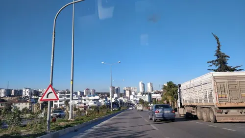
- Street-level photo, kasar, CC BY-SA 4.0
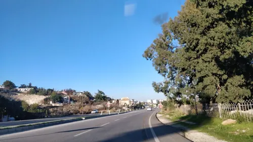
- Street-level photo, kasar, CC BY-SA 4.0
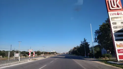
- Street-level photo, kasar, CC BY-SA 4.0
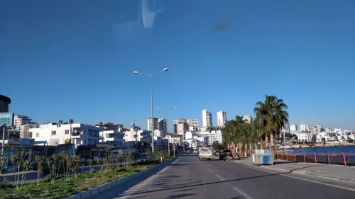
- Street-level photo, kasar, CC BY-SA 4.0
- Street-level photo, kasar, CC BY-SA 4.0
- Street-level photo, kasar, CC BY-SA 4.0
- Street-level photo, kasar, CC BY-SA 4.0


Page built November 8, 2026. Spotted a mistake? Tell us or suggest a place.