


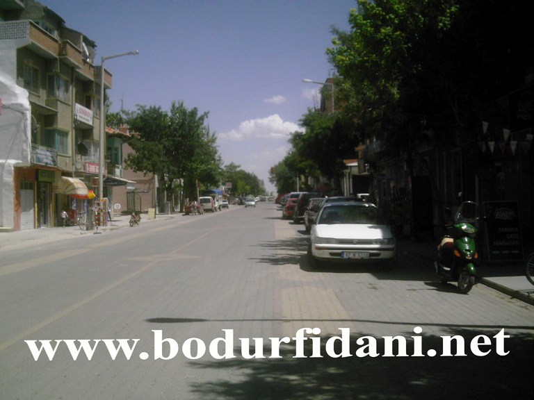


Why visit Çumra
Townapedia lists 10 parks and trails and 1 place to eat in and around town.
Weather in Çumra
Forecast from MET Norway (CC BY 4.0). Full forecast
About Çumra
Çumra is a municipality and district of Konya Province, Turkey. Its area is 2,089 km2, and its population is 67,690 (2022).
From the Wikipedia article Çumra (this version), under CC BY-SA 4.0.
Parks, trails and playgrounds10

Restaurants and cafes1

Churches and places of worship43

Ortabağlık Camii
Place of worship · Sunni · 1.0 km
3 Kazım Karabekir Caddesi, Konya
31 more on the map.
Gas and EV charging3

History
Neolithic (c. 8000 BC) archaeological discoveries have been found at Çatalhöyük.
In the 12th century the Konya plain experienced its second great cultural period, when the city became the capital of the Seljuk Turks.
From the History section of Çumra on Wikipedia, under CC BY-SA 4.0.
Schools, colleges and libraries4
Healthcare12
Map of Çumra
73 places. The map loads OpenStreetMap tiles when you open it.
Getting there and nearby towns
Konya Airport (KYA) is the nearest airport with scheduled flights listed in OpenStreetMap, 49 km away.
- Ovakavağı 21 km northeast, about 21 min by car
- Yarma 28 km north, about 28 min by car
- Kisecik 29 km southeast, about 29 min by car
- Konya 42 km northwest, about 42 min by car
- Kazımkarabekir 41 km southeast, about 41 min by car
- Kılbasan 46 km southeast, about 46 min by car
- Karaman 58 km southeast, about 58 min by car
- Hadim 71 km southwest, about 1 h 15 min by car
- Taşkent 76 km south, about 1 h 15 min by car
- Seydişehir 84 km west, about 1 h 30 min by car
Drive times are estimates from straight-line distance, not routes.
Local news
Headlines from INDB.
Reviews, tips and questions
Loading what members have shared...
Sources and licences
- GeoNames (CC BY 4.0): population, coordinates, regions and time zone
- OpenStreetMap contributors (ODbL 1.0): places, airports, map data
- Wikidata (CC0 1.0): elevation, founding date, time zone, website
- Wikimedia Commons (see each image): photos
- Wikipedia (CC BY-SA 4.0): overview and history text
Photo credits
- Cumra station, Btian P. Dorsam, CC BY-SA 4.0
- Çumra - panoramio (1), suarar, CC BY 3.0
- Çumra - panoramio, suarar, CC BY 3.0
- Çumra - panoramio (3), Gürsoy Tokgöz, CC BY 3.0
- Çumra - panoramio (2), Gürsoy Tokgöz, CC BY 3.0
- Çumra - panoramio (6), Gürsoy Tokgöz, CC BY 3.0
- Çumra - panoramio (4), Gürsoy Tokgöz, CC BY 3.0
- Two freights at Cumra, Btian P. Dorsam, CC BY-SA 4.0


Page built November 8, 2026. Spotted a mistake? Tell us or suggest a place.