


Why visit Gediz
Townapedia lists 1 park or trail and 1 place to eat in and around town.
Weather in Gediz
Forecast from MET Norway (CC BY 4.0). Full forecast
About Gediz
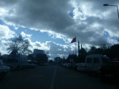
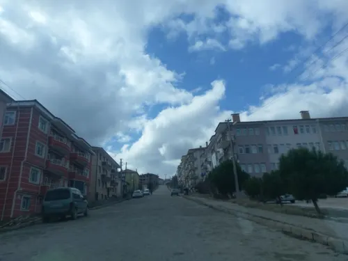
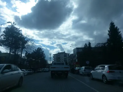
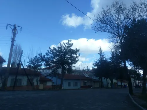
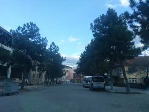
Gediz is a town in Kütahya Province in the Aegean region of Turkey. It is the seat of Gediz District. Its population is 26,662 (2022). The town was founded in 1970 after the old town, now called Eskigediz, was destroyed in an earthquake.
From the Wikipedia article Gediz, Kütahya (this version), under CC BY-SA 4.0.
Parks, trails and playgrounds1

Restaurants and cafes1
Churches and places of worship10

Shopping2



History
Until 1970, Gediz was located at present-day Eskigediz, 7 km to the north on the upper reaches of the Gediz Çayı stream. After the old town was destroyed in the 1970 Gediz earthquake, the town was rebuilt at its present location on the plain. The site of the present town was previously known as Karılar Pazarı.
Gediz's origins are in the ancient and medieval settlement of Kadoi (Ancient Greek: Κάδοι), which was located at present-day Eskigediz. Kadoi's earliest known mention was by Polybios in the 2nd century BCE. In Roman times, the town was located in Phrygia Epiktetos, near the border of Phrygia, Mysia, and Lydia. (The sources for this period are Strabo, Stephanus of Byzantium, and Ptolemy.) The 6th-century Synekdemos of Hierokles later mentions Kadoi as part of Phrygia Pakatiane. Kadoi was also a Christian diocese attested consistently from the 7th through 12th centuries in the Notitiae. Until around the 9th century, it was listed as subordinate to Laodikeia, and after that as under Hierapolis until the 12th century.
Gediz was administered as a sanjak under the Seljuk dynasty as well as the succeeding Germiyan beylik. The oldest mosque in what is now Eskigediz, the Umurbey mosque (also called the Serdar mosque), dates from the Seljuk period.
From the History section of Gediz, Kütahya on Wikipedia, under CC BY-SA 4.0.
Gas and EV charging2
Schools, colleges and libraries12
Healthcare18
Map of Gediz
46 places. The map loads OpenStreetMap tiles when you open it.
Getting there and nearby towns
Uşak Havalimanı (USQ) is the nearest airport with scheduled flights listed in OpenStreetMap, 35 km away.
- Erdoğmuş 5 km south, about 5 min by car
- Altınkent 6 km east, about 6 min by car
- Fırdan 6 km south, about 6 min by car
- Eski Gediz 7 km northeast, about 7 min by car
- Gümele 7 km southeast, about 7 min by car
- Gökler 13 km east, about 13 min by car
- Uşak 36 km south, about 36 min by car
- Simav 37 km west, about 37 min by car
- Kütahya 70 km northeast, about 1 h 15 min by car
- Kula 81 km southwest, about 1 h 15 min by car
Drive times are estimates from straight-line distance, not routes.
Local news
Headlines from INDB.
Reviews, tips and questions
Loading what members have shared...
Sources and licences
- GeoNames (CC BY 4.0): population, coordinates, regions and time zone
- Mapillary (see each image): photos
- OpenStreetMap contributors (ODbL 1.0): places, airports, map data
- Wikidata (CC0 1.0): elevation, founding date, time zone, website
- Wikimedia Commons (see each image): photos
- Wikipedia (CC BY-SA 4.0): overview and history text
Photo credits
- Yaşam Mücadelesi (Survive)- Gediz - panoramio, Halit Edip Özcan, CC BY-SA 3.0
- ISS040-E-133250 - View of Earth, Earth Science and Remote Sensing Unit , Lyndon B. Johnson Space Center, Public domain
- ISS043-E-259076 - View of Earth, Earth Science and Remote Sensing Unit , Lyndon B. Johnson Space Center, Public domain
- ISS027-E-22357 - View of Earth, Earth Science and Remote Sensing Unit , Lyndon B. Johnson Space Center, Public domain
- ISS043-E-259075 - View of Earth, Earth Science and Remote Sensing Unit , Lyndon B. Johnson Space Center, Public domain
- Street-level photo, ozkanilyasaksu, CC BY-SA 4.0
- Street-level photo, ozkanilyasaksu, CC BY-SA 4.0
- Street-level photo, ozkanilyasaksu, CC BY-SA 4.0
- Street-level photo, ozkanilyasaksu, CC BY-SA 4.0
- Street-level photo, ozkanilyasaksu, CC BY-SA 4.0
- Street-level photo, unen, CC BY-SA 4.0
Page built November 8, 2026. Spotted a mistake? Tell us or suggest a place.