
Weather in Gülnar
Forecast from MET Norway (CC BY 4.0). Full forecast
About Gülnar
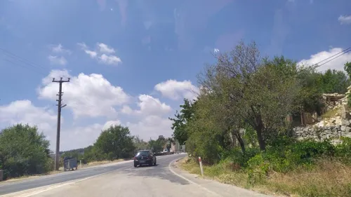
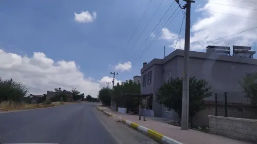
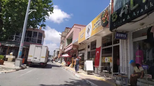
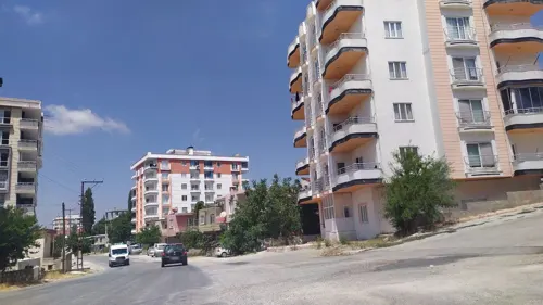
Gülnar is a municipality and district of Mersin Province, Turkey. Its area is 1,416 km2, and its population is 27,889 (2022). It is 150 km (93 mi) south-west of the city of Mersin.
From the Wikipedia article Gülnar (this version), under CC BY-SA 4.0.
Churches and places of worship11

Gas and EV charging1

Schools, colleges and libraries5

Healthcare9


History
The area has been occupied since the time of the Hittites, and was later settled by the Assyrians, Persians, Egyptians, Greeks, Romans and Armenians. The people of Gülnar today are descendants of the Turkmen tribes that came here from Central Asia in the 13th century. (Among older generation of Turkmens Gülnar is usually named as Anaypazarı)
From the History section of Gülnar on Wikipedia, under CC BY-SA 4.0.
Map of Gülnar
26 places. The map loads OpenStreetMap tiles when you open it.
Getting there and nearby towns
Gazipaşa-Alanya Airport (GZP) is the nearest airport with scheduled flights listed in OpenStreetMap, 99 km away.
- Çukurasma 4 km north, about 4 min by car
- Işıklı 6 km northwest, about 6 min by car
- Kayrak 11 km east, about 11 min by car
- Arıkuyusu 11 km north, about 11 min by car
- Zeyne 16 km northeast, about 16 min by car
- Yanışlı 22 km southeast, about 22 min by car
- Karadiken 21 km north, about 21 min by car
- Aydıncık 23 km south, about 23 min by car
- Kuskan Yaylası 24 km northwest, about 24 min by car
- Silifke 48 km east, about 48 min by car
Drive times are estimates from straight-line distance, not routes.
Local news
Headlines from INDB.
Reviews, tips and questions
Loading what members have shared...
Sources and licences
- GeoNames (CC BY 4.0): population, coordinates, regions and time zone
- Mapillary (see each image): photos
- OpenStreetMap contributors (ODbL 1.0): places, airports, map data
- Wikidata (CC0 1.0): elevation, founding date, time zone, website
- Wikipedia (CC BY-SA 4.0): overview and history text
Photo credits
- Street-level photo, ozenharun, CC BY-SA 4.0
- Street-level photo, ozenharun, CC BY-SA 4.0
- Street-level photo, ozenharun, CC BY-SA 4.0
- Street-level photo, ozenharun, CC BY-SA 4.0
Page built November 8, 2026. Spotted a mistake? Tell us or suggest a place.