
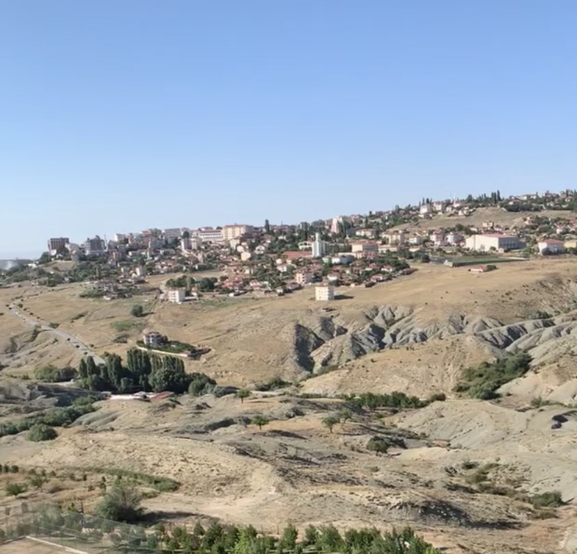

Why visit Haymana
Townapedia lists 1 museum or landmark, 1 park or trail and 14 places to stay in and around town.
Weather in Haymana
Forecast from MET Norway (CC BY 4.0). Full forecast
About Haymana
Haymana is a municipality and district of Ankara Province, Turkey. Its area is 2,164 km2, and its population is 26,016 (2022). It is 72 km south of the capital, Ankara. Its elevation is 1200 m.
From the Wikipedia article Haymana (this version), under CC BY-SA 4.0.
Museums and landmarks1

Parks, trails and playgrounds1

Where to stay14



2 more on the map.
Churches and places of worship7

History
Archaeological excavations were launched in Gavur Kalesi, a castle situated in the village of Dereköy, in the years 1930 and 1998. The results showed that it was an important Phrygian settlement. Besides, the tumuli located in Türkhöyük and Oyaca villages prove that the area was also inhabited during the Hittite period.
After the periods of the Roman and Byzantine rule, the area was captured by the Seljuk Turks in 1127. After the Battle of Köse Dağ it came under Ilkhanate control for a while. In the mid 14th century the area was annexed by the Ottomans. After a brief period of Timurid rule in the wake of the Battle of Ankara in 1402, it was re-captured by the Ottomans.
From the History section of Haymana on Wikipedia, under CC BY-SA 4.0.
Shopping1
Gas and EV charging1
Schools, colleges and libraries3
Healthcare7
Map of Haymana
35 places. The map loads OpenStreetMap tiles when you open it.
Getting there and nearby towns
Ankara Airport (ANK) is the nearest airport with scheduled flights listed in OpenStreetMap, 60 km away.
- Ataköy 18 km south, about 18 min by car
- Sinanlı 31 km south, about 31 min by car
- Bezirhane 31 km east, about 31 min by car
- Polatlı 35 km northwest, about 35 min by car
- Altpınar 33 km southeast, about 33 min by car
- Gölbaşı 48 km northeast, about 48 min by car
- Ankara 62 km northeast, about 1 h by car
- Çankaya 62 km northeast, about 1 h by car
- Kulu 63 km southeast, about 1 h by car
- Sivrihisar 83 km west, about 1 h 30 min by car
Drive times are estimates from straight-line distance, not routes.
Local news
Headlines from INDB.
Reviews, tips and questions
Loading what members have shared...
Sources and licences
- GeoNames (CC BY 4.0): population, coordinates, regions and time zone
- OpenStreetMap contributors (ODbL 1.0): places, airports, map data
- Wikidata (CC0 1.0): elevation, founding date, time zone, website
- Wikimedia Commons (see each image): photos
- Wikipedia (CC BY-SA 4.0): overview and history text
Photo credits
- Haymanaview, Grizlyy, CC BY-SA 4.0
- Haymanadörtyol, Grizlyy, CC BY-SA 4.0
Page built November 8, 2026. Spotted a mistake? Tell us or suggest a place.