




Karkamış, Turkey
Karkamış is a town of 4,951 people in Gaziantep, Turkey, founded in May 20, 1990.
Why visit Karkamış
Townapedia lists 16 museums and landmarks, 1 place to stay and 3 attractions in and around town.
Highlights include Karkamış Bridge, Carchemish and Anthemusias.
Weather in Karkamış
Forecast from MET Norway (CC BY 4.0). Full forecast
About Karkamış
Karkamış, formerly Carablus, is a municipality and district of Gaziantep Province, Turkey. Its area is 298 km2, and its population is 9,379 (2022). It is next to the site of ancient Carchemish.
From the Wikipedia article Karkamış (this version), under CC BY-SA 4.0.
Travel tips from other travellers: Karkamış on Wikivoyage (CC BY-SA 4.0).
Things to do3

Museums and landmarks16

Carchemish
Monument and historic site · 1.6 km
Ancient city in Turkey / Syria
Anthemusias
Monument and historic site · 7.8 km
Ancient Mesopotamian town
Jerablus Tahtani
Monument and historic site · 4.2 km
Settlement in Syria
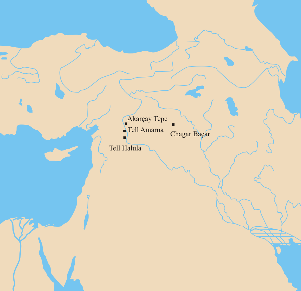
Tell Amarna
Monument and historic site · 10.0 km
Archaeological Site in northern Syria
Tomb of Suleyman Shah
Monument and historic site · 10.8 km
Place in Aleppo Governorate, Syria
4 more on the map.
Where to stay1

Shopping1

History
What is now the present-day town of Karkamış was essentially a constituent neighborhood of the town Jarabulus known as Şeyhavi. Upon the formation of the Syria–Turkey border, which followed the railroad running through the town, this neighborhood was isolated from the rest. The newly isolated settlement was initially renamed to Cerablus in 1928 after the main town, Barak in 1946 after a local Turkmen tribe found in the region, and lastly Karkamış after the ancient town Carchemish.
From the History section of Karkamış on Wikipedia, under CC BY-SA 4.0.
Schools, colleges and libraries1
Healthcare2
Map of Karkamış
24 places. The map loads OpenStreetMap tiles when you open it.
Getting there and nearby towns
Gaziantep Oğuzeli International Airport (GZT) is the nearest airport with scheduled flights listed in OpenStreetMap, 48 km away.
- Kelekli 9 km north, about 9 min by car
- Akarçay 10 km north, about 10 min by car
- Elifoğlu 12 km north, about 12 min by car
- Kumla 13 km north, about 13 min by car
- Yeserti 14 km west, about 14 min by car
- Mağaralı 16 km northeast, about 16 min by car
- Birecik 21 km north, about 21 min by car
- Gaziantep 60 km northwest, about 1 h by car
- Şanlıurfa 80 km northeast, about 1 h 15 min by car
- Kilis 80 km west, about 1 h 15 min by car
Drive times are estimates from straight-line distance, not routes.
Local news
Headlines from INDB.
Reviews, tips and questions
Loading what members have shared...
Sources and licences
- GeoNames (CC BY 4.0): population, coordinates, regions and time zone
- OpenStreetMap contributors (ODbL 1.0): places, airports, map data
- Wikidata (CC0 1.0): elevation, founding date, time zone, website, landmarks and historic places
- Wikimedia Commons (see each image): photos
- Wikipedia (CC BY-SA 4.0): overview and history text
Photo credits
- Ferrovia di Baghdada Ponte sull'Eufrate, Unknown author Unknown author, Public domain
- Excav catalanes a siria, Jolle, CC BY 3.0
- Home @ syria - panoramio, Abdul-jabbar, CC BY-SA 3.0
- Jarabulus, Syria - panoramio, Abdul-jabbar, CC BY-SA 3.0
- Home - panoramio (2), Abdul-jabbar, CC BY-SA 3.0
- Jarablos Bro.mahmoud sarhan - panoramio, Abdul-jabbar, CC BY-SA 3.0
- Alforat jarablos - Abdul-jabbar Sarhan - panoramio, Abdul-jabbar, CC BY-SA 3.0
- ISS065-E-401088 - View of Earth, Earth Science and Remote Sensing Unit , Lyndon B. Johnson Space Center, Public domain
- ISS065-E-401087 - View of Earth, Earth Science and Remote Sensing Unit , Lyndon B. Johnson Space Center, Public domain
- ISS056-E-99414 - View of Earth, Earth Science and Remote Sensing Unit, NASA Johnson Space Center, Public domain
- ISS029-E-35135 - View of Earth, Earth Science and Remote Sensing Unit , Lyndon B. Johnson Space Center, Public domain
- ISS065-E-401090 - View of Earth, Earth Science and Remote Sensing Unit , Lyndon B. Johnson Space Center, Public domain
- ISS065-E-401089 - View of Earth, Earth Science and Remote Sensing Unit , Lyndon B. Johnson Space Center, Public domain
- ISS065-E-401086 - View of Earth, Earth Science and Remote Sensing Unit , Lyndon B. Johnson Space Center, Public domain
- ISS056-E-99413 - View of Earth, Earth Science and Remote Sensing Unit, NASA Johnson Space Center, Public domain
- ISS065-E-401085 - View of Earth, Earth Science and Remote Sensing Unit , Lyndon B. Johnson Space Center, Public domain
- ISS006-E-49648 - View of Syria, Earth Science and Remote Sensing Unit , Lyndon B. Johnson Space Center, Public domain
- ISS023-E-47644 - View of Earth, Earth Science and Remote Sensing Unit , Lyndon B. Johnson Space Center, Public domain


Page built November 8, 2026. Spotted a mistake? Tell us or suggest a place.