


Why visit Kaş
Townapedia lists 42 museums and landmarks, 13 parks and trails, 148 places to eat, 120 places to stay and 5 attractions in and around town.
Highlights include Kaputaş Beach, Gelemen Dağı, Aperlae and Apollonia.
Weather in Kaş
Forecast from MET Norway (CC BY 4.0). Full forecast
About Kaş
Kaş (Turkish pronunciation: [kaʃ]) is a small fishing, diving, yachting and tourist town, and a municipality and district of Antalya Province, Turkey. Its area is 1,750 km2, and its population is 63,957 (2025). It is 168 km west of the city of Antalya. As a tourist resort, it is relatively unspoiled.
From the Wikipedia article Kaş (this version), under CC BY-SA 4.0.
Travel tips from other travellers: Kaş on Wikivoyage (CC BY-SA 4.0).
Things to do5

Kaputaş Beach
Beach · 17.2 km
Beach between Kaş and Kalkan in southwestern Turkey


Museums and landmarks42

Aperlae
Monument and historic site · 14.0 km
Ancient city of Lycia in modern-day Turkey

Apollonia
Monument and historic site · 11.5 km
Ancient city of Lycia, in modern-day Turkey

Phellus
Monument and historic site · 5.0 km
Ancient city of Lycia in modern-day Turkey

Antiphellus
Monument and historic site
Ancient city of Lycia in modern-day Turkey

Cyaneae
Monument and historic site · 16.7 km
Ancient city of Lycia in modern-day Turkey

Isinda
Monument and historic site · 5.5 km
Ancient city of Lydia in modern-day Turkey
Kandyba
Monument and historic site · 12.1 km
Archaeological site in Kaş, Antalya, Turkey

Kastellorizo Folk Art Museum
Museum · 6.9 km
Museum in Kastellorizo, Greece

Sebeda
Monument and historic site · 3.4 km
Harbour on the coast of ancient Lycia
Seroiata
Monument and historic site · 9.6 km
Ancient city of Lycia, in modern-day Turkey
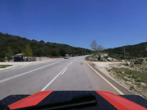
Tyinda
Monument and historic site · 9.3 km
Ancient city of Lycia in modern-day Turkey

Uluburun shipwreck
Monument and historic site · 9.2 km
Late Bronze Age shipwreck
30 more on the map.
Parks, trails and playgrounds13



1 more on the map.
Restaurants and cafes148
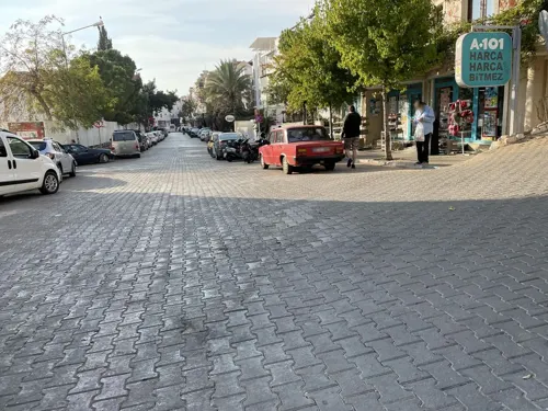
Leman's Deli
Restaurant · Sandwich, Hot Dog, Regional, Tapas, Turkish, Deli, Mezze
Leman’s Deli is a small deli in Kaş, Antalya, Türkiye, located on the Lycian Way. We welcome hikers and already offer a hiker discount,...
10/3 Halk Konutlari Sokak, Antalya
Mo-Sa 12:00-21:00

Charms Coffee
Cafe · Coffee Shop
Charms Coffee. World wide coffee beans. Colombia, India... Espresso, Americano, Latte, Ice Americano, Cold Brew, Latte, Turkish Coffee,...
3 / A Ortaokul Sokak, Antalya
Mo-Su 09:00-23:00
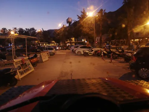

Nuri's Beach Bar possible, rent boat to kash
Bar and pub · 3.5 km
Limanagzi Mevkii, Kaş
Mo-Su 10:00-01:00

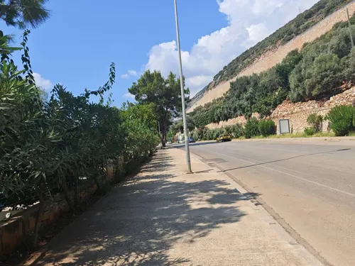
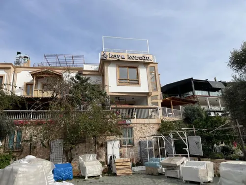
Ally Restaurant
Restaurant · Turkish
13 Cumhuriyet Meydanı
Mo-Su 12:00-00:00
Butka
Cafe · Turkish, International
15/2 Öztürk sokak
Mo-Fr 10:00-00:00; Sa-Su 10:00-20:00
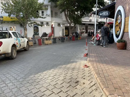
Corner
Restaurant · Turkish
16 Ibrahim Serin Caddesi
Mo-Su 09:30-01:00


Keçibaş
Cafe · Burger, Pasta, Pizza · 4.5 km
12 Çamurköy Sokak
Mo-Su 13:00-22:00
136 more on the map.
History
Although the Teke peninsula has been occupied since the Stone Age, it seems Kaş was founded by the Lycians, and its name in Lycian language was Habesos or Habesa. It was a member of the Lycian League, and its importance during this time is confirmed by the presence of one of the richest Lycian necropoleis.
In the Hellenistic period and under the Roman Empire it served as the port of Phellus called Antiphellus (Greek: Αντίφελλος, romanized: Antífellos), the name by which it was known at that time.
The town suffered because of Arab incursions, then was annexed (under the name of Andifli) to the Anatolian Sultanate of Rum, led by the Seljuks. After the demise of the Seljuks, it came under the Ottomans.
In 1923, because of the forcible exchange of populations between Greece and Turkey after the Greco-Turkish War, population of Greek origin in the area left for Greece.
In the early 1990s tourism started booming in Kaş, with visitors mainly from the UK and Germany. This growth of tourism brought an explosion in apartment building (often without license), which is seriously threatening the landscape and the environment. Particularly affected is the Çukurbağ Peninsula, west of the town, which now has luxury hotels built on it.
From the History section of Kaş on Wikipedia, under CC BY-SA 4.0.
Where to stay120
Churches and places of worship4
Shopping22
Gas and EV charging2
Schools, colleges and libraries1
Healthcare7
Map of Kaş
250 places. The map loads OpenStreetMap tiles when you open it.
Getting there and nearby towns
Dalaman Airport (DLM) is the nearest airport with scheduled flights listed in OpenStreetMap, 95 km away.
- Bayındır 4 km east, about 4 min by car
- Yeniköy 4 km northwest, about 4 min by car
- Belenli 5 km east, about 5 min by car
- Gökçeören 9 km northwest, about 9 min by car
- Uğrar 11 km northeast, about 11 min by car
- Kasaba 15 km northeast, about 15 min by car
- Sarıbelen 16 km northwest, about 16 min by car
- Elmalı 64 km northeast, about 1 h by car
- Fethiye 67 km northwest, about 1 h by car
- Tekirova 86 km northeast, about 1 h 30 min by car
Drive times are estimates from straight-line distance, not routes.
Local news
Headlines from INDB.
Reviews, tips and questions
Loading what members have shared...
Sources and licences
- GeoNames (CC BY 4.0): population, coordinates, regions and time zone
- Mapillary (see each image): photos
- OpenStreetMap contributors (ODbL 1.0): places, airports, map data
- Wikidata (CC0 1.0): elevation, founding date, time zone, website, landmarks and historic places
- Wikimedia Commons (see each image): photos
- Wikipedia (CC BY-SA 4.0): overview and history text
Photo credits
- KAŞ - panoramio - Haluk Comertel, Haluk Comertel, CC BY 3.0
- Kaş town view 6037, Dosseman, CC BY-SA 4.0
- Kaş March 2011 6134, Dosseman, CC BY-SA 4.0
- Kaş Lycian rock grave 6133, Dosseman, CC BY-SA 4.0
- Kaş town view 6132, Dosseman, CC BY-SA 4.0
- Kaş - panoramio (4), Nicola Feola, CC BY 3.0
- Town of Kaş - 2014.10 - panoramio, rheins, CC BY 3.0
- Kaş Merkez Süleyman Camii, Kadı, CC BY 4.0
- Kaş March 2011 6117, Dosseman, CC BY-SA 4.0
- Lika’s Kaş, Zelenoglazno, CC BY-SA 4.0
- Lika’s Kaş1, Zelenoglazno, CC BY-SA 4.0
- Kaş görünümü (2), Cobija, CC0
- Kaş görünümü, Cobija, CC0
- 2023-11-16 Lycian amphitheatre in Kaş 2, Alexkom000, CC BY 4.0
- Kaş sea 6115, Dosseman, CC BY-SA 4.0
- Hellenistic Temple in Kaş 01, Kadı, CC BY 4.0
- Kaş March 2011 6116, Dosseman, CC BY-SA 4.0
- Kaş sea 6114, Dosseman, CC BY-SA 4.0
- Antalya, Kaş 02, Kadı, CC BY 4.0
- Lika’s Kaş3, Zelenoglazno, CC BY-SA 4.0
- 2023-11-16 Lycian amphitheatre in Kaş 1, Alexkom000, CC BY 4.0
- Kaş town view 6048, Dosseman, CC BY-SA 4.0
- KAŞ-KAYA MEZAR - panoramio, HALUK COMERTEL, CC BY 3.0
- 2023-11-04 Citizen of Kaş, Alexkom000, CC BY 4.0
- 2023-11-04 Citizens of Kaş 2, Alexkom000, CC BY 4.0
- Hellenistic Temple in Kaş 02, Kadı, CC BY 4.0
- Main Street of Kaş - 2014.10 - panoramio, rheins, CC BY 3.0
- Kaş town view 6047, Dosseman, CC BY-SA 4.0
- Kaş town view 6050, Dosseman, CC BY-SA 4.0
- KAPUTAŞ BEACH - panoramio - Haluk Comertel, Haluk Comertel, CC BY 3.0
- Odeum taillé dans le roc d'Aperlae - Texier Charles Félix Marie - 1882, Félix Marie Charles Texier, Public domain
- Ruinen von Apollonia 05 1997, Volker Höhfeld, CC BY-SA 4.0
- LycianTombPhellos, Curlymanjaro, CC BY-SA 3.0
- Kyaneai Theater, Ansgar Bovet, CC BY-SA 3.0
- Sebeda Kaya Mezarı, Aerdemsenturk, CC BY-SA 4.0
- Uluburun1, Martin Bahmann, CC BY-SA 3.0
- Kalkanmosque, Flickr user: afanc Manchester https://www.flickr.com/people/afanc/, CC BY 2.0
- StrongiliMegisti20060929, Alessandro57, Public domain
- Castelloroso-max, Cyverius at Greek Wikipedia, Attribution
- Antiphellus Ancient Theatre - 2014.10 - panoramio, rheins, CC BY 3.0
- Süleyman Çavuş Mosque, Vano111ru, CC BY-SA 4.0
- Street-level photo, egorka, CC BY-SA 4.0
- Street-level photo, nazif, CC BY-SA 4.0
- Street-level photo, egorka, CC BY-SA 4.0
- Street-level photo, egorka, CC BY-SA 4.0
- Street-level photo, doriel, CC BY-SA 4.0
- Street-level photo, egorka, CC BY-SA 4.0
- Street-level photo, egorka, CC BY-SA 4.0
- Street-level photo, asturksever, CC BY-SA 4.0
- Street-level photo, nazif, CC BY-SA 4.0
- Street-level photo, nazif, CC BY-SA 4.0
- Street-level photo, egorka, CC BY-SA 4.0
- Street-level photo, batyrmastyr, CC BY-SA 4.0
- Street-level photo, batyrmastyr, CC BY-SA 4.0
- Street-level photo, nazif, CC BY-SA 4.0
- Street-level photo, nazif, CC BY-SA 4.0
- Street-level photo, egorka, CC BY-SA 4.0
- Street-level photo, egorka, CC BY-SA 4.0
- Street-level photo, nazif, CC BY-SA 4.0
- Street-level photo, doriel, CC BY-SA 4.0


Page built November 8, 2026. Spotted a mistake? Tell us or suggest a place.