


Why visit Kestel
Townapedia lists 1 museum or landmark, 1 park or trail, 24 places to eat and 18 places to stay in and around town.
Highlights include Nauloi.
Weather in Kestel
Forecast from MET Norway (CC BY 4.0). Full forecast
About Kestel
Kestel is a neighbourhood in the municipality and district of Alanya, Antalya Province, Turkey. Its population is 15,445 (2022). Before the 2013 reorganisation, it was a town (belde).
From the Wikipedia article Kestel, Alanya (this version), under CC BY-SA 4.0.
Museums and landmarks1

Nauloi
Monument and historic site · 4.8 km
Ancient city of Cilicia, in modern-day Turkey
Parks, trails and playgrounds1

Restaurants and cafes24



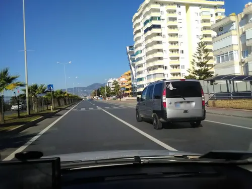
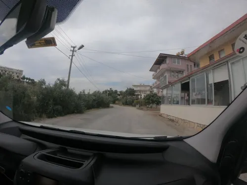
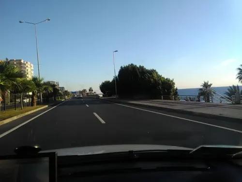
12 more on the map.
Where to stay18

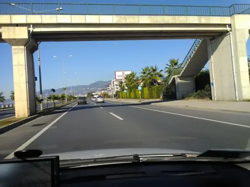


6 more on the map.
Churches and places of worship3
Shopping9
Gas and EV charging2
Schools, colleges and libraries3
Healthcare6
Map of Kestel
67 places. The map loads OpenStreetMap tiles when you open it.
Getting there and nearby towns
Gazipaşa-Alanya Airport (GZP) is the nearest airport with scheduled flights listed in OpenStreetMap, 30 km away.
- Mahmutlar 2 km southeast, about 2 min by car
- Yaylalı 2 km east, about 2 min by car
- Tosmur 4 km northwest, about 4 min by car
- Kargıcak 4 km southeast, about 4 min by car
- Oba 5 km northwest, about 5 min by car
- Alanya 8 km northwest, about 8 min by car
- Konaklı 19 km northwest, about 19 min by car
- Gazipaşa 34 km southeast, about 34 min by car
- Manavgat 65 km northwest, about 1 h by car
- Side 68 km northwest, about 1 h 15 min by car
Drive times are estimates from straight-line distance, not routes.
Local news
Headlines from INDB.
Reviews, tips and questions
Loading what members have shared...
Sources and licences
- GeoNames (CC BY 4.0): population, coordinates, regions and time zone
- Mapillary (see each image): photos
- OpenStreetMap contributors (ODbL 1.0): places, airports, map data
- Wikidata (CC0 1.0): elevation, founding date, time zone, website, landmarks and historic places
- Wikimedia Commons (see each image): photos
- Wikipedia (CC BY-SA 4.0): overview and history text
Photo credits
- Закат(Kestel)мыс Джильварда - panoramio, Андрей Груздев, CC BY 3.0
- Alanya kestel sahil, Alanya66, CC BY-SA 4.0
- Kestel- закат(мыс Джильварда) - panoramio, Андрей Груздев, CC BY 3.0
- Турция Kestel вид из отеля - panoramio, Андрей Груздев, CC BY 3.0
- Набережная Kestel Турция - panoramio, Андрей Груздев, CC BY 3.0
- View to Alanya peninsula from Kestel, Bestalex, CC BY-SA 4.0
- Alanya-landscape-renemt, Rene MT from Hennigsdorf, Germany, CC BY 2.0
- Отель солнечный - panoramio, Андрей Груздев, CC BY 3.0
- Вид с пляжа на отель - panoramio, Андрей Груздев, CC BY 3.0
- Часы на площади - panoramio, Андрей Груздев, CC BY 3.0
- Alanya-Mahmutlar -Südöstliche Ende Türkische Riviera -Blick zur Bucht von Alanya - panoramio, Gottfried Hoffmann -…, CC BY 3.0
- ISS014-E-15971 - View of Turkey, Earth Science and Remote Sensing Unit , Lyndon B. Johnson Space Center, Public domain
- ISS065-E-355296 - View of Earth, Earth Science and Remote Sensing Unit , Lyndon B. Johnson Space Center, Public domain
- Suntset at Syedra Princess Beach, Mahmutlar, Turkey 2010 - panoramio, ihorp, CC BY 3.0
- Suntset at Mahmutlar Beach,Turkey 2010 - panoramio, ihorp, CC BY 3.0
- Alanya Mahmutlar, Lgalanya123, CC BY-SA 3.0
- Mahmutlar Immobilien, Lgalanya123, CC BY-SA 3.0
- Sight from the balcony of our Room - panoramio, CSedl, CC BY-SA 3.0
- Alanya, Antalya, Turkey - panoramio (22), Владимир Кочадыков, CC BY 3.0
- Michell Hotel ^ Spa - panoramio, geoka.ru, CC BY 3.0
- Street-level photo, andershl, CC BY-SA 4.0
- Street-level photo, andershl, CC BY-SA 4.0
- Street-level photo, andershl, CC BY-SA 4.0
- Street-level photo, krm, CC BY-SA 4.0
- Street-level photo, andershl, CC BY-SA 4.0
- Street-level photo, andershl, CC BY-SA 4.0
- Street-level photo, andershl, CC BY-SA 4.0
- Street-level photo, andershl, CC BY-SA 4.0
- Street-level photo, andershl, CC BY-SA 4.0


Page built November 8, 2026. Spotted a mistake? Tell us or suggest a place.