


Kırıkkale, Turkey
Kırıkkale is a regional capital of 186,960 people in Kırıkkale, Turkey.
Why visit Kırıkkale
Townapedia lists 2 museums and landmarks, 11 parks and trails, 28 places to eat, 4 places to stay and 7 attractions in and around town.
Highlights include Elmadağ Bridge and Kırıkkale MKE Weapons Industry Museum.
Weather in Kırıkkale
Forecast from MET Norway (CC BY 4.0). Full forecast
About Kırıkkale
Kırıkkale is a city in the Central Anatolia region of Turkey. It is the seat of Kırıkkale Province and Kırıkkale District. Its population is 186,960 (2022). It is located 80 km east of Ankara, the capital city of Turkey.
From the Wikipedia article Kırıkkale (this version), under CC BY-SA 4.0.
Things to do7



Museums and landmarks2

Kırıkkale MKE Weapons Industry Museum
Museum · 0.8 km
Museum in Kırıkkale, Turkey
MKE Silahsan Müzesi
Museum · 0.8 km
Yahşiyan Yolu 4. Km. Makina Ve Kimya Endüstrisi Kurumu, Makina Ve Kimya Endüstrisi Kurumu İçinde Merkez, Kırıkkale
Parks, trails and playgrounds11


Restaurants and cafes28

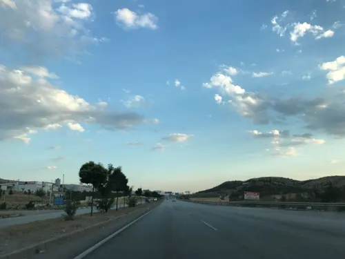

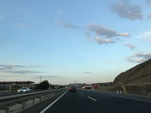


16 more on the map.
History
Perhaps formerly known as Sarmalius in antiquity, the name of the city supposedly comes from the name "Kırık" a village 3 km north of the city combined with another name called "Kale", meaning castle, in the centre of the city, the two were put together to make 'Kırıkkale'. Kırıkkale in Turkish means "broken castle". Inhabitation began in the 16th century when Turkish tribes came from the east and settled in Central Anatolia.
Formerly part of Ankara Province, it became the seat of the new Kırıkkale Province in 1989.
From the History section of Kırıkkale on Wikipedia, under CC BY-SA 4.0.
Where to stay4
Churches and places of worship16
Shopping36
Gas and EV charging23
SHARZ CCS Petrol
EV charging · 3.7 km
Ceyhun Atuf Kansu Cad. No:180/A Çankaya Ankara \r\n, BAHŞİLİ
Schools, colleges and libraries28
Healthcare92
Map of Kırıkkale
247 places. The map loads OpenStreetMap tiles when you open it.
Getting there and nearby towns
Esenboğa International Airport (ESB) is the nearest airport with scheduled flights listed in OpenStreetMap, 53 km away.
- Balışeyh 20 km northeast, about 20 min by car
- Keskin 21 km southeast, about 21 min by car
- Elmadağ 25 km west, about 25 min by car
- Kalecik 29 km north, about 29 min by car
- Karakeçili 30 km south, about 30 min by car
- Sulakyurt 39 km northeast, about 39 min by car
- Delice 46 km east, about 46 min by car
- Akyurt 48 km northwest, about 48 min by car
- Çankaya 56 km west, about 56 min by car
- Ankara 56 km west, about 56 min by car
Drive times are estimates from straight-line distance, not routes.
Local news
Headlines from INDB.
Reviews, tips and questions
Loading what members have shared...
Sources and licences
- GeoNames (CC BY 4.0): population, coordinates, regions and time zone
- Mapillary (see each image): photos
- OpenStreetMap contributors (ODbL 1.0): places, airports, map data
- Wikidata (CC0 1.0): elevation, founding date, time zone, website, landmarks and historic places
- Wikimedia Commons (see each image): photos
- Wikipedia (CC BY-SA 4.0): overview and history text
Photo credits
- Kırıkkale, SAİT71, CC BY-SA 3.0
- Kırıkkale Zafer Caddesi - panoramio, 71ergun, CC BY-SA 3.0
- Kırıkkale - panoramio, 71ergun, CC BY-SA 3.0
- Kırıkkale 1 (2013) - panoramio, 71ergun, CC BY-SA 3.0
- Kırıkkale 2 (2013) - panoramio, 71ergun, CC BY-SA 3.0
- Kırıkkale Nokta Bölgesi Yüksek Binalar - panoramio, 71ergun, CC BY-SA 3.0
- Kırıkkale 1960 - panoramio, 71ergun, CC BY-SA 3.0
- Kırıkkale cumhuriyet meydanı, LordReco, CC BY-SA 4.0
- Kırıkkale Nur Camiisi 2014 - panoramio, 71ergun, CC BY-SA 3.0
- Kırıkkale Emniyet Müdürlüğü Karşısı - panoramio, 71ergun, CC BY-SA 3.0
- Kırıkkale Nokta Mevkiisi 2011 - panoramio, 71ergun, CC BY-SA 3.0
- Kırıkkale Nokta Bölgesi - panoramio, 71ergun, CC BY-SA 3.0
- Kırıkkale, Kırıkkale Merkez-Kırıkkale, Turkey - panoramio, salim.yesilyurt, CC BY 3.0
- Kırıkkale Otobüs Terminali Kuzey Cephesi - panoramio, 71ergun, CC BY-SA 3.0
- Ankara - Samsun Yolu Kırıkkale Yenişehir Mevkisi - panoramio, 71ergun, CC BY-SA 3.0
- Zafer Caddesinden Bir Görünüm - panoramio, 71ergun, CC BY-SA 3.0
- Zafer Caddesi Girişi - panoramio, 71ergun, CC BY-SA 3.0
- Cumhuriyet Caddesi Girişi - panoramio, 71ergun, CC BY-SA 3.0
- Zafer Caddesinin Akşam Görünümü - panoramio, 71ergun, CC BY-SA 3.0
- Cumhuriyet Meydanından Zafer Caddesine Girerken - panoramio, 71ergun, CC BY-SA 3.0
- Cumhuriyet Meydanı - panoramio (1), 71ergun, CC BY-SA 3.0
- Cumhuriyet Meydanı Parkı - panoramio, 71ergun, CC BY-SA 3.0
- Nokta Camii - panoramio, 71ergun, CC BY-SA 3.0
- MKE Parkından Bir Görünüm - panoramio, 71ergun, CC BY-SA 3.0
- MKE Aile Parkı 2011 - panoramio, 71ergun, CC BY-SA 3.0
- Toprak Mahallesi Girişi 1960 Yılı - panoramio, 71ergun, CC BY-SA 3.0
- Bölge Trafiğin Önü - panoramio, 71ergun, CC BY-SA 3.0
- Sanayi Mahallesi - panoramio, 71ergun, CC BY-SA 3.0
- Sanayi Mahallesi - panoramio (1), 71ergun, CC BY-SA 3.0
- Terminal Yolu - panoramio, 71ergun, CC BY-SA 3.0
- Yahşihan Toki A1 Blok - panoramio, 71ergun, CC BY-SA 3.0
- Yahşihan Toki Kar Manzarası - panoramio, 71ergun, CC BY-SA 3.0
- Yahşihan Toki A1 Blok Önündeki Kırmızı Güller - panoramio, 71ergun, CC BY-SA 3.0
- Celal Bayar Parkı (Manzara) - panoramio, 71ergun, CC BY-SA 3.0
- Kızılırmak-Bahşılı - panoramio, hüseyin yeşil, CC BY 3.0
- Celal Bayar Parkı Gün Batımı - panoramio, 71ergun, CC BY-SA 3.0
- Kızılırmak nehri, Nationall, CC BY-SA 4.0
- Kızılırmak, Nationall, CC BY-SA 4.0
- Alaaddin Mahallesi 2011 - panoramio, 71ergun, CC BY-SA 3.0
- Yahşihan Belediyesi Kağnı - panoramio, 71ergun, CC BY-SA 3.0
- Street-level photo, aliaktrk52, CC BY-SA 4.0
- Street-level photo, aliaktrk52, CC BY-SA 4.0
- Street-level photo, ferahkoksal, CC BY-SA 4.0
- Street-level photo, ferahkoksal, CC BY-SA 4.0
- Street-level photo, ferahkoksal, CC BY-SA 4.0
- Street-level photo, aliaktrk52, CC BY-SA 4.0
- Street-level photo, yigidofurki, CC BY-SA 4.0
- Street-level photo, ferahkoksal, CC BY-SA 4.0
- Street-level photo, mapman66, CC BY-SA 4.0
- Street-level photo, aliaktrk52, CC BY-SA 4.0


Page built November 8, 2026. Spotted a mistake? Tell us or suggest a place.