

Why visit Ömerli
Townapedia lists 1 place to eat in and around town.
Weather in Ömerli
Forecast from MET Norway (CC BY 4.0). Full forecast
About Ömerli
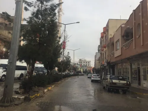
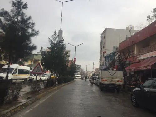
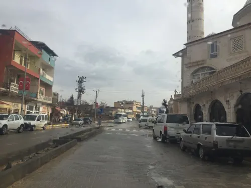
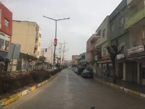
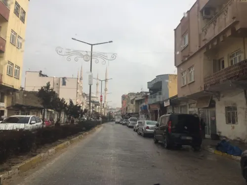
Ömerli (Arabic: معسرتي; Kurdish: Masertê; Syriac: ܡܥܨܪܬܗ, romanized: Maʿsarteh) is a municipality and district of Mardin Province, Turkey. Its area is 458 km2, and its population is 13,740 (2022). The town is mostly populated by Kurds of the Bilikan tribe and Mhallamis. Other groups in the town include Kurds from other tribes, Arabs, few Syriacs and Georgians, and civil servants of Turkish roots.
From the Wikipedia article Ömerli, Mardin (this version), under CC BY-SA 4.0.
Restaurants and cafes1
Churches and places of worship7


Schools, colleges and libraries2

Healthcare4


History
Maʿsarteh (today called Ömerli) is identified as the town of Madaranzu in Bit-Zamani, which was conquered by Ashurnasirpal II in 879 BC. It is later mentioned by Theophylact Simocatta and George of Cyprus as a kastron called Matzaron (Greek: Ματζάρων; Latin: Mazarorum). It was likely captured by a Sasanian army in 573 at the time of the siege of Dara, during the Roman–Sasanian War of 572–591, but was retaken and the fort was restored by the Roman commanders Theodore and Andrew in 587. According to the Notitia Dignitatum, it was commanded by the Dux Mesopotamia.
Maʿsarteh was part of the Syriac Orthodox diocese of the Monastery of Mar Abai until the death of its last bishop Ishaq (Isaac) Saliba in 1730, upon which the diocese was subsumed into the diocese of Mardin. In the Syriac Orthodox patriarchal register of dues of 1870, it was recorded that the village had 24 households, who paid 52 dues, and did not have a priest. There was a church of Yūldaṯ Alohō. German orientalist Eduard Sachau visited the village in 1880. It was visited by Oswald Parry in 1892. It was inhabited by 300 Syriacs in 1914, according to the list presented to the Paris Peace Conference by the Assyro-Chaldean delegation. They adhered to the Syriac Orthodox Church. There was a church of Mar Gewergis. The village was known for grape cultivation and wool weaving. The Syriac Orthodox Christians spoke Arabic.
From the History section of Ömerli, Mardin on Wikipedia, under CC BY-SA 4.0.
Map of Ömerli
14 places. The map loads OpenStreetMap tiles when you open it.
Getting there and nearby towns
Mardin Prof. Dr. Aziz Sancar Airport (MQM) is the nearest airport with scheduled flights listed in OpenStreetMap, 35 km away.
- Kaynakkaya 7 km south, about 7 min by car
- Taşlıca 7 km south, about 7 min by car
- Çınaraltı 8 km west, about 8 min by car
- Dereyanı 9 km west, about 9 min by car
- Mardin 21 km southwest, about 21 min by car
- Midyat 34 km east, about 34 min by car
- Kızıltepe 41 km southwest, about 41 min by car
- Nusaybin 43 km southeast, about 43 min by car
- Batman 57 km north, about 57 min by car
- Diyarbakır 87 km northwest, about 1 h 30 min by car
Drive times are estimates from straight-line distance, not routes.
Local news
Headlines from INDB.
Reviews, tips and questions
Loading what members have shared...
Sources and licences
- GeoNames (CC BY 4.0): population, coordinates, regions and time zone
- Mapillary (see each image): photos
- OpenStreetMap contributors (ODbL 1.0): places, airports, map data
- Wikidata (CC0 1.0): elevation, founding date, time zone, website
- Wikimedia Commons (see each image): photos
- Wikipedia (CC BY-SA 4.0): overview and history text
Photo credits
- Ömerli belediyesi, Sedattekis, CC BY-SA 4.0
- Street-level photo, sessiznotalar, CC BY-SA 4.0
- Street-level photo, sessiznotalar, CC BY-SA 4.0
- Street-level photo, sessiznotalar, CC BY-SA 4.0
- Street-level photo, sessiznotalar, CC BY-SA 4.0
- Street-level photo, sessiznotalar, CC BY-SA 4.0
Page built November 8, 2026. Spotted a mistake? Tell us or suggest a place.