


Why visit Susurluk
Townapedia lists 1 park or trail, 14 places to eat, 2 places to stay and 1 attraction in and around town.
Highlights include Macestus Bridge.
Weather in Susurluk
Forecast from MET Norway (CC BY 4.0). Full forecast
About Susurluk
Susurluk is a municipality and district of Balıkesir Province, Turkey. Its area is 652 km2, and its population is 37,724 (2022). It is famous for its production of soap and dairy products.
From the Wikipedia article Susurluk (this version), under CC BY-SA 4.0.
Things to do1

Parks, trails and playgrounds1

Restaurants and cafes14

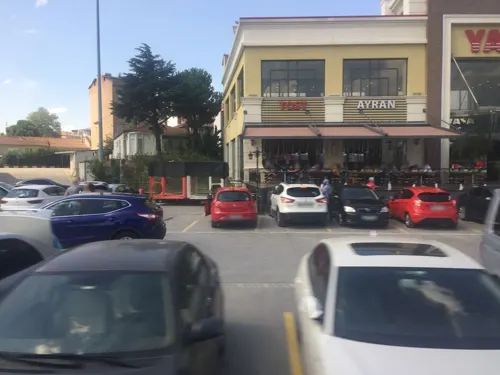
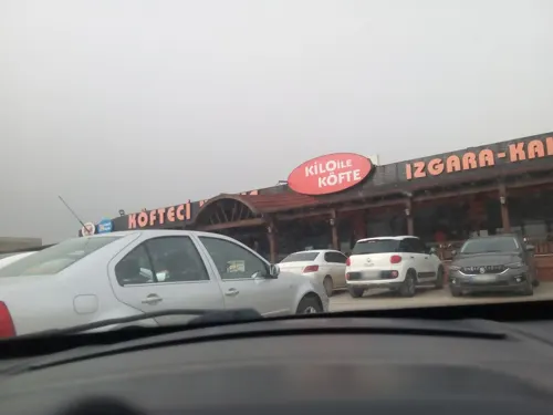
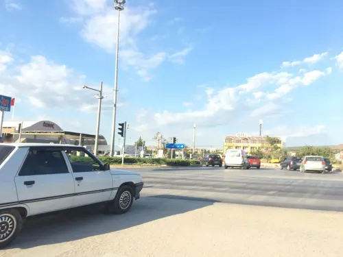


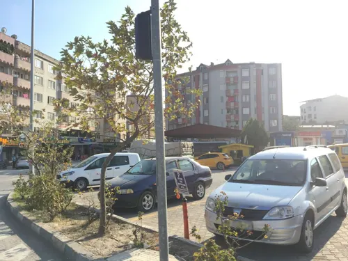



2 more on the map.
Where to stay2

History
Originally, the place where Susurluk is now located was an empty area of forest and swamp belonging to Karasi Bey. Under Bey's grandchildren, it was managed as a farm called Susığırlık. Later, in 1634, with raiders coming from Karaman, Hacı Hatip Oğulları, settled here. While Susığırlık was only a farm, it began to serve as a rest stop for caravans passing to Bursa and Istanbul. Later, it became crowded with Bulgarian and Caucasian immigrants who migrated to Anatolia during the 1858 and 1878 Turkish-Russian war and Turkmen tribes that were later settled by Ahmed Vefik Pasha.
From the History section of Susurluk on Wikipedia, under CC BY-SA 4.0.
Churches and places of worship11
Shopping2
Gas and EV charging10
Schools, colleges and libraries3
Healthcare16
Map of Susurluk
60 places. The map loads OpenStreetMap tiles when you open it.
Getting there and nearby towns
Balıkesir Center Airport (BZI) is the nearest airport with scheduled flights listed in OpenStreetMap, 38 km away.
- Paşalar 14 km northeast, about 14 min by car
- Koşuboğazı 17 km northeast, about 17 min by car
- Gökçeören 17 km south, about 17 min by car
- Güllüce 19 km northeast, about 19 min by car
- Manyas 22 km northwest, about 22 min by car
- Tatkavaklı 22 km northeast, about 22 min by car
- Mustafakemalpaşa 25 km northeast, about 25 min by car
- Balıkesir 37 km southwest, about 37 min by car
- Nilüfer 73 km northeast, about 1 h 15 min by car
- Bursa 83 km east, about 1 h 30 min by car
Drive times are estimates from straight-line distance, not routes.
Local news
Headlines from INDB.
Reviews, tips and questions
Loading what members have shared...
Sources and licences
- GeoNames (CC BY 4.0): population, coordinates, regions and time zone
- Mapillary (see each image): photos
- OpenStreetMap contributors (ODbL 1.0): places, airports, map data
- Wikidata (CC0 1.0): elevation, founding date, time zone, website, landmarks and historic places
- Wikimedia Commons (see each image): photos
- Wikipedia (CC BY-SA 4.0): overview and history text
Photo credits
- Susurluk Çayı karşısında - panoramio, Allen Turner, CC BY-SA 3.0
- Susurluk, 10600 Susurluk-Balıkesir Province, Turkey - panoramio, MERMERCİ ÖZGÜR1, CC BY 3.0
- Orta, 10600 Susurluk-Balıkesir, Turkey - panoramio, MERMERCİ ÖZGÜR1, CC BY 3.0
- Susurluk railway station, Kırmızı, CC BY-SA 4.0
- Makestos Bridge. Drawing 01, Theodor Wiegand, Public domain
- Çimento direkler - panoramio, Allen Turner, CC BY-SA 3.0
- Uloborus walckenaerius from Balıkesir 1, 0959kedi, CC BY 4.0
- Street-level photo, asturksever, CC BY-SA 4.0
- Street-level photo, yercizenler, CC BY-SA 4.0
- Street-level photo, sessiznotalar, CC BY-SA 4.0
- Street-level photo, asefakcby, CC BY-SA 4.0
- Street-level photo, yercizenler, CC BY-SA 4.0
- Street-level photo, asefakcby, CC BY-SA 4.0
- Street-level photo, asefakcby, CC BY-SA 4.0
- Street-level photo, ademturkmen, CC BY-SA 4.0
- Street-level photo, ramses, CC BY-SA 4.0
- Street-level photo, ramses, CC BY-SA 4.0
- Street-level photo, ramses, CC BY-SA 4.0
- Street-level photo, ramses, CC BY-SA 4.0
- Street-level photo, yercizenler, CC BY-SA 4.0
- Street-level photo, hderinoz, CC BY-SA 4.0
- Street-level photo, yercizenler, CC BY-SA 4.0
- Street-level photo, yercizenler, CC BY-SA 4.0

Page built November 8, 2026. Spotted a mistake? Tell us or suggest a place.