


Why visit Turhal
Townapedia lists 4 museums and landmarks, 4 parks and trails, 7 places to eat, 5 places to stay and 1 attraction in and around town.
Highlights include Gaziura and Turhal Kalesi.
Weather in Turhal
Forecast from MET Norway (CC BY 4.0). Full forecast
About Turhal
Turhal is a district in Tokat Province in the Black Sea region of Turkey. It is the seat of Turhal District. Its population is 62,030 (2022). It is 48 km to the west of Tokat.
From the Wikipedia article Turhal (this version), under CC BY-SA 4.0.
Things to do1

Museums and landmarks4
Gaziura
Monument and historic site · 2.6 km
Ancient city of Pontus in modern-day Turkey



Turhal sugar factory engine
Monument and historic site
Saddle tank loco Robert Stephenson & Hawthorns n°7310
Parks, trails and playgrounds4

Restaurants and cafes7

Kahve Turkish Coffee Turhal
Cafe · Coffee Shop, Dessert · 1.6 km
162D:2A Cumhuriyet Caddesi, Tokat
Mo-Su 09:00-22:00

History
The first nucleus of Turhal appeared as an important fortress or fortification named Talaura (Τάλαυρα in Ancient greek) on the way between today's Amasya and Tokat provinces. It is deduced from the tablets found in the region that Turhal had been inhabited as early as the third millennium BC and had relations as far as the Mesopotamian cultures such as Sumerians who had already invented an effective alphabet.
From the History section of Turhal on Wikipedia, under CC BY-SA 4.0.
Where to stay5
Churches and places of worship22
Shopping14
Gas and EV charging10
Schools, colleges and libraries27
Healthcare30
Map of Turhal
124 places. The map loads OpenStreetMap tiles when you open it.
Getting there and nearby towns
Tokat Airport (TJK) is the nearest airport with scheduled flights listed in OpenStreetMap, 27 km away.
- Zile 19 km southwest, about 19 min by car
- Pazar 21 km southeast, about 21 min by car
- Uygur 20 km north, about 20 min by car
- Sarımeşe 23 km north, about 23 min by car
- Yeşilyurt 24 km east, about 24 min by car
- İlyas 28 km northwest, about 28 min by car
- Kızılca 31 km northwest, about 31 min by car
- Artova 35 km southeast, about 35 min by car
- Amasya 36 km northwest, about 36 min by car
- Tokat 41 km east, about 41 min by car
Drive times are estimates from straight-line distance, not routes.
Local news
Headlines from INDB.
Reviews, tips and questions
Loading what members have shared...
Sources and licences
- GeoNames (CC BY 4.0): population, coordinates, regions and time zone
- OpenStreetMap contributors (ODbL 1.0): places, airports, map data
- Wikidata (CC0 1.0): elevation, founding date, time zone, website, landmarks and historic places
- Wikimedia Commons (see each image): photos
- Wikipedia (CC BY-SA 4.0): overview and history text
Photo credits
- Turhal bridge, Lubunya, CC BY-SA 4.0
- GÜZEL TURHALIM-3 - panoramio, DURSUNÇETİN, CC BY 3.0
- GÜZEL TURHALIM-2 - panoramio, DURSUNÇETİN, CC BY 3.0
- GÜZEL TURHALIM-4 - panoramio, DURSUNÇETİN, CC BY 3.0
- GÜZEL TURHALIM-1 - panoramio, DURSUNÇETİN, CC BY 3.0
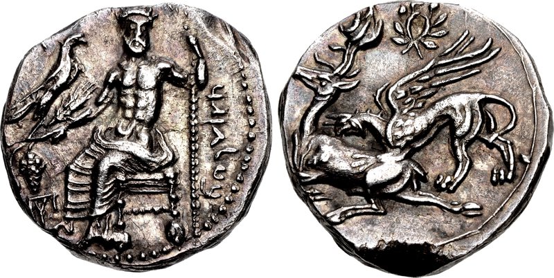
- KINGS of CAPPADOCIA. Ariarathes I. 333-322 BC, CNG Coins, CC BY-SA 3.0
- Turhal 2004 1890, Dosseman, CC BY-SA 4.0
- KALE M. - panoramio, DURSUNÇETİN, CC BY 3.0
- Mimar sinan mahallesi ev - panoramio, syigit86, CC BY-SA 3.0
- ISS030-E-133831 - View of Earth, Earth Science and Remote Sensing Unit , Lyndon B. Johnson Space Center, Public domain
- ISS030-E-133832 - View of Earth, Earth Science and Remote Sensing Unit , Lyndon B. Johnson Space Center, Public domain
- ISS047-E-77692 - View of Earth, Earth Science and Remote Sensing Unit , Lyndon B. Johnson Space Center, Public domain
- Boyacılar mah. - panoramio, umitonder60, CC BY 3.0
- Boyacılar mah. - panoramio (2), umitonder60, CC BY 3.0
- Boyacılar mah. - panoramio (1), umitonder60, CC BY 3.0


Page built November 8, 2026. Spotted a mistake? Tell us or suggest a place.