


Ümraniye, Turkey
Ümraniye (Türkiye'deki şehir)
Ümraniye is a city of 573,265 people in Istanbul, Turkey, founded in July 4, 1987.
Why visit Ümraniye
Townapedia lists 18 museums and landmarks, 70 parks and trails, 129 places to eat, 9 places to stay and 5 attractions in and around town.
Highlights include Bosphorus Bridge, Çamlıca Tower, Anadoluhisarı and Archeion.
Weather in Ümraniye
Forecast from MET Norway (CC BY 4.0). Full forecast
About Ümraniye
Ümraniye (pronounced [ymˈɾaːnije]) is a municipality and district of Istanbul Province, Turkey. Its area is 46 km2, and its population is 723,760 (2023). It was separated from Üsküdar in 1987. It is bordered by Çekmeköy to the northeast, Sancaktepe to the east, Ataşehir to the south, Üsküdar to the west, and Beykoz to the northwest.
From the Wikipedia article Ümraniye (this version), under CC BY-SA 4.0.
Things to do5


Çamlıca Tower
Monument and historic site · 5.0 km
Telecommunications towers in Istanbul, Turkey

Süreyya Opera House
Cinema and theater · 8.6 km
Opera house and former cinema in Istanbul, Turkey


Museums and landmarks18


Archeion
Monument and historic site · 8.9 km
Ancient city of Thrace in modern-day Turkey

Chalcedon
Monument and historic site · 8.5 km
Ancient city of Bithynia in modern-day Turkey
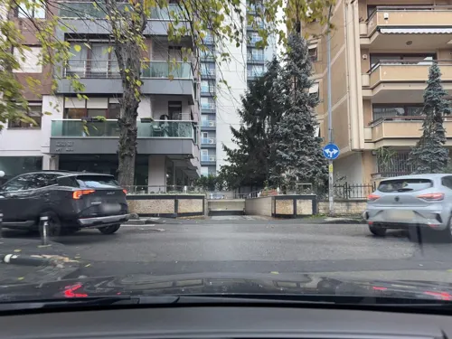
Hieria
Monument and historic site · 8.4 km
Ancient town and suburb of Constantinople; now Fenerbahçe, Istanbul, Turkey
Kalamos
Monument and historic site · 8.9 km
Ancient city of Thrace in modern-day Turkey


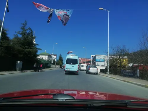
Museum of Illumination and Heating Appliances
Museum · 8.3 km
Museum in Beykoz, İstanbul, Asian Turkey
Nausikleia
Monument and historic site · 8.5 km
Ancient city of Bithynia, in modern-day Turkey
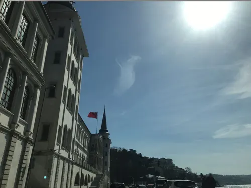
Nausimachion
Monument and historic site · 7.6 km
Ancient city of Bithynia, in modern-day Turkey
Parabolos
Monument and historic site · 8.9 km
Ancient city of Thrace in modern-day Turkey
Poleatikon
Monument and historic site · 7.3 km
Ancient Anatolian settlement
6 more on the map.
Parks, trails and playgrounds70




58 more on the map.
Restaurants and cafes129

Keyf-i Ala kokoreç
Restaurant · Kebab, Çorba, Kokoreç, Tatlı, Koöfte · 1.9 km
144 Şehit Burak Kurtuluş Caddesi, İstanbul
Mo-Su 10:00-05:00
ÇC Lider Pide Tepeüstü Otoparklı Şube
Restaurant · Pide, Salata
no:17 Poyraz Caddesi
Mo-Su 09:00-21:00
Adile Sultan Ev Yemekleri - Ümraniye Restoranı
Restaurant · 1.7 km
5A Gelibolu Caddesi
Mo-Su 11:00-21:30
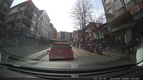
The Hunger Ümraniye Limonlu Cadde
Restaurant · 1.4 km
171 EA3 Alemdağ Caddesi, İstanbul
Mo-Su 09:00-24:00
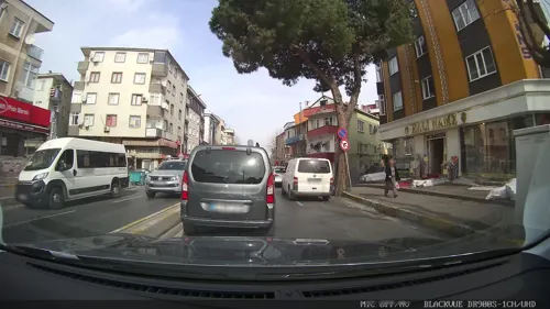
Safran Pide Börek Salonu
Restaurant · Turkish, Bagel · 2.2 km
37/B Küçüksu Caddesi, İstanbul
Mo-Su 06:00-16:00
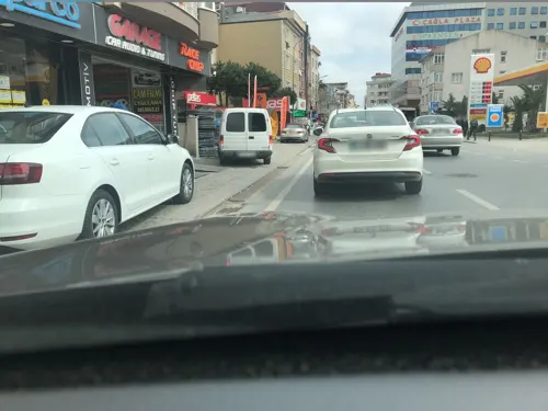
Tokyoya Japanese Cafe & Bistro
Restaurant · Japanese, Korean, Ramen · 1.3 km
NO: 5A Civanmert Sokağı
Mo-Sa 11:30-22:00
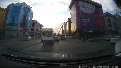
Vizzju Lounge
Cafe · Burger, Pizza, Coffee Shop, Chicken, Sandwich, Italian, Steak House, Kebab, Turkish, Pasta, Bubble Tea · 2.2 km
6 Turcan Caddesi, İstanbul
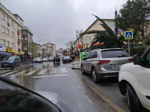


Dönerci Celal Usta - Ümraniye (Atakent) Şubesi
Restaurant · Turkish · 1.8 km
75/B Reşitpaşa Caddesi, İstanbul

117 more on the map.
History
Ümraniye is located on high ground just inland from Üsküdar. It was originally a small village of less than 900 inhabitants, mainly coming from the Black Sea Region in the 1950s. Its population grew far beyond its capacity during the 1970s and 1980s due to migration to the cities from rural areas of Anatolia. On 17 March 1978, 5 workers were massacred by Communist militants in the district.
The growth of Ümraniye was relatively better controlled than other districts that also attracted workers on the European side (such as Esenler or Gaziosmanpaşa); there are wider roads through the district, more space between the blocks, and relatively more green space. A large commercial district grew up to support this large population. The main road through the centre has public buildings, shops, shopping centres, and branches of many banks.
From the History section of Ümraniye on Wikipedia, under CC BY-SA 4.0.
Where to stay9
Churches and places of worship48
Agios Panteleimonas Greek Orthodox Church, Kuzguncuk
Church · 8.2 km
Shopping96
Meydan İstanbul Alışveriş ve Yaşam Merkezi
Shopping center · 0.8 km
62 Balkan Caddesi, İstanbul
Gas and EV charging12
Schools, colleges and libraries59
Healthcare120
Finanskent Eczanesi
Clinic and pharmacy · 1.9 km
5C BLOK NO:12 Finans Caddesi, İstanbul
Finansşehir Eczanesi
Clinic and pharmacy · 1.6 km
5A Şenol Güneş Bulvarı, İstanbul
Map of Ümraniye
250 places. The map loads OpenStreetMap tiles when you open it.
Getting there and nearby towns
Sabiha Gökçen International Airport (SAW) is the nearest airport with scheduled flights listed in OpenStreetMap, 21 km away.
- Ataşehir 4 km south, about 4 min by car
- Üsküdar 9 km west, about 9 min by car
- Sancaktepe 9 km east, about 9 min by car
- Maltepe 9 km south, about 9 min by car
- Arnavutköy 9 km northwest, about 9 min by car
- Çubuklu 10 km north, about 10 min by car
- Şişli 13 km northwest, about 13 min by car
- Istanbul 15 km west, about 15 min by car
- Sultanbeyli 14 km southeast, about 14 min by car
- Fatih 15 km west, about 15 min by car
Drive times are estimates from straight-line distance, not routes.
Local news
Headlines from INDB.
Reviews, tips and questions
Loading what members have shared...
Sources and licences
- GeoNames (CC BY 4.0): population, coordinates, regions and time zone
- Mapillary (see each image): photos
- OpenStreetMap contributors (ODbL 1.0): places, airports, map data
- Wikidata (CC0 1.0): elevation, founding date, time zone, website, landmarks and historic places
- Wikimedia Commons (see each image): photos
- Wikipedia (CC BY-SA 4.0): overview and history text
Photo credits
- Umraniye Kirishane, Ymblanter, CC BY-SA 3.0
- Ümraniye Metro İstasyonu M5 2024, Kayra, CC BY 4.0
- IKEA Ümraniye, Istanbul, Maurice Flesier, CC BY-SA 4.0
- Interior of IKEA Ümraniye, Istanbul, Maurice Flesier, CC BY-SA 4.0
- Main gate of IKEA Ümraniye, Istanbul, Maurice Flesier, CC BY-SA 4.0
- Main gate of IKEA Ümraniye, Maurice Flesier, CC BY-SA 4.0
- Exterior of IKEA Ümraniye, Istanbul, Maurice Flesier, CC BY-SA 4.0
- Entrance of IKEA Ümraniye, Istanbul, Maurice Flesier, CC BY-SA 4.0
- Bosphorus Bridge1, Glabb, CC BY-SA 3.0
- Camlica Tower, Korybiko, CC BY-SA 4.0
- Anadolu Hisarı in 2024 (cropped), flowcomm, CC BY 2.0
- Müze Gazhane (11), Jelican9, CC BY-SA 4.0
- 20240415 Göztepe 60 Yıl parkı, Basak, CC BY-SA 4.0
- Yoğurtçu Parkı Çeşmesi, Tarih, CC BY-SA 4.0
- Agios Georgios Greek Orthodox Church, Kuzguncuk, Vano111ru, CC BY 4.0
- Kuzguncuk Greek Orthodox Church02 (34243603782), John Lubbock, CC BY-SA 2.0
- Surp Krikor Lusaveriç Church and Kuzguncuk Mosque in Kuzguncuk, Üsküdar 2, İhsan Deniz Kılıçoğlu, CC BY-SA 3.0
- Medeniyet üniversitesi, Medeniyetliler, CC BY-SA 4.0
- MarmaraUni, Anilyilmaz, CC BY 3.0
- Sancte Euphemia Kadıköy, QuartierLatin1968, CC BY-SA 3.0
- M5 Ihlamurkuyu Metro Çıkışlar, Alikam1896, CC BY-SA 4.0
- Ihlamurkuyu Metro Ticket Hall, Alikam1896, CC BY-SA 4.0
- Bulgurlu Metro İstasyonu M5 2024, Kayra, CC BY 4.0
- Yamanevler Metro İstasyonu M5 2024, Kayra, CC BY 4.0
- Çarşı Metro İstasyonu M5 2024, Kayra, CC BY 4.0
- Ihlamurkuyu Metro Plan, Alikam1896, CC BY-SA 4.0
- Ihlamurkuyu Metro Entrance 1, Alikam1896, CC BY-SA 4.0
- Erdem Hospital 2, Erdem Hospital, CC0
- Erdem Hospital, Erdem Hospital, CC0
- Erdem Hospital 4, Erdem Hospital, CC0
- Erdem Hospital, Erdem Hospital, CC0
- Çakmak Metro Ticket Hall, Alikam1896, CC BY-SA 4.0
- Çakmak Metro Platform, Alikam1896, CC BY-SA 4.0
- Çakmak Metro Station Plan, Alikam1896, CC BY-SA 4.0
- Çakmak Metro Exit Table, Alikam1896, CC BY-SA 4.0
- Çakmak Metro Entrance 2, Alikam1896, CC BY-SA 4.0
- Çakmak Metro Exit 2, Alikam1896, CC BY-SA 4.0
- Kelebek Etkisi 002 - panoramio, hüsamettin_alpaslan, CC BY 3.0
- Buyaka Office Buildings 3, Maurice Flesier, CC BY-SA 4.0
- Buyaka Office Buildings, Maurice Flesier, CC BY-SA 4.0
- Süreyya Opera House 20190727 (1), Sakhalinio, CC BY-SA 4.0
- Street-level photo, ademturkmen, CC BY-SA 4.0
- Street-level photo, fatihalp, CC BY-SA 4.0
- Street-level photo, ademturkmen, CC BY-SA 4.0
- Street-level photo, yolcu, CC BY-SA 4.0
- Street-level photo, ademturkmen, CC BY-SA 4.0
- Street-level photo, ademturkmen, CC BY-SA 4.0
- Street-level photo, omera60, CC BY-SA 4.0
- Street-level photo, nazif, CC BY-SA 4.0
- Street-level photo, unen, CC BY-SA 4.0
- Street-level photo, ferahkoksal, CC BY-SA 4.0
- Street-level photo, nazif, CC BY-SA 4.0
- Street-level photo, ferahkoksal, CC BY-SA 4.0
- Street-level photo, bngsgln, CC BY-SA 4.0
- Street-level photo, yolcu, CC BY-SA 4.0
- Street-level photo, ahmetberke74, CC BY-SA 4.0
- Street-level photo, yolcu, CC BY-SA 4.0


Page built November 8, 2026. Spotted a mistake? Tell us or suggest a place.