

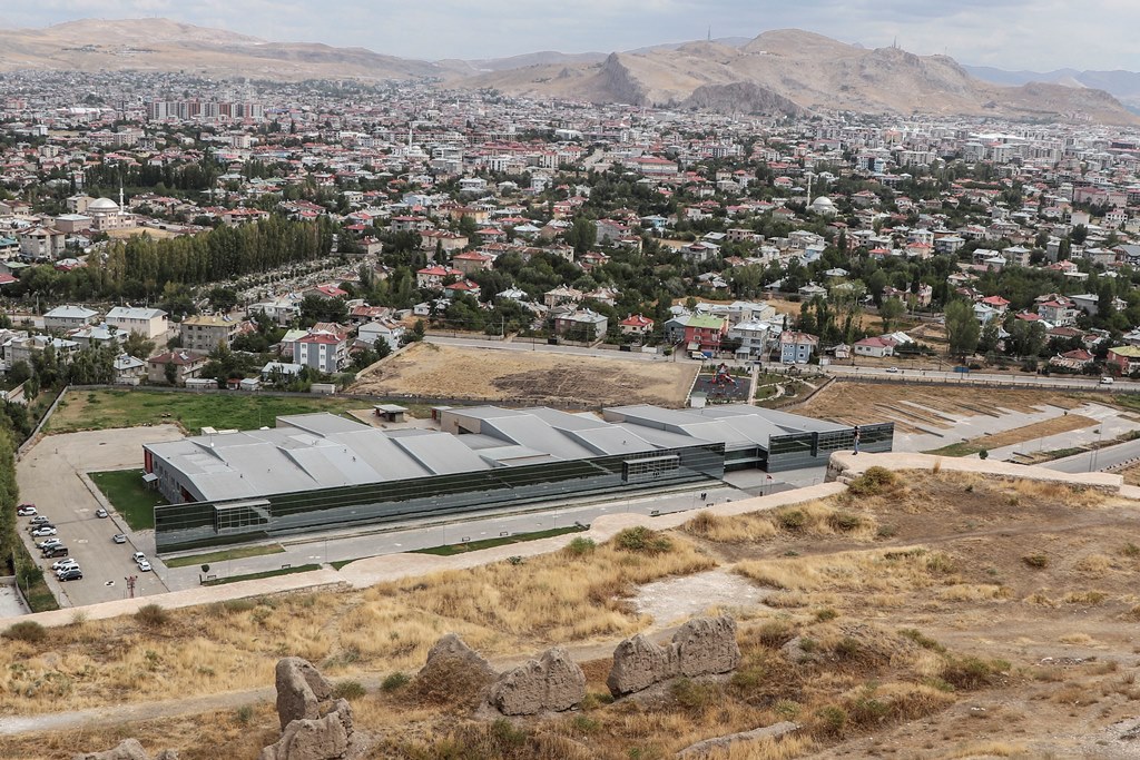


Why visit Van
Townapedia lists 13 museums and landmarks, 10 parks and trails, 79 places to eat, 45 places to stay and 3 attractions in and around town.
Highlights include Van Museum and Van Fortress.
Weather in Van
Forecast from MET Norway (CC BY 4.0). Full forecast
About Van
Van is a city in eastern Turkey's Van Province, on the eastern shore of Lake Van. It is the capital and largest city of Van Province.
From the Wikipedia article Van, Turkey (this version), under CC BY-SA 4.0.
Travel tips from other travellers: Van on Wikivoyage (CC BY-SA 4.0).
Things to do3


Museums and landmarks13

Van Fortress
Monument and historic site · 3.9 km
Massive stone fortification in Turkey

Meher kapi
Monument and historic site · 2.6 km
From wikitravel: An Urartian sanctuary from the 9th century BC cut into the cliff face. Rituals here likely involved animal...
Van-K'aghaghak'amej
Monument and historic site · 3.8 km
One of the oldest districts of Van, which was famed by self-defense in 1915. Completely destroyed after the genocide. Now it is...


1 more on the map.
Parks, trails and playgrounds10

Restaurants and cafes79

bak hele bak kahvaltı kültür sarayı
Restaurant · Breakfast, Kahvaltı · 1.0 km
37 Sıhke Caddesi, Van
Mo-Fr 08:00-17:00
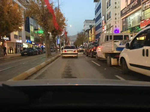
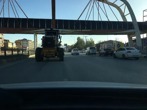
Royal Koç Çağ Kebabı
Restaurant · Turkish · 1.4 km
Mo-Su 09:00-22:00
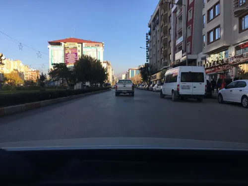


Desotti
Restaurant · Sandwich, Sushi, Tea, Persian, Pasta, Pizza, Spanish, Turkish, Thai · 0.6 km

67 more on the map.
History
Archaeological excavations and surveys carried out in Van Province indicate that the history of human settlement in this region goes back at least as far as 5000 BCE. The Tilkitepe Mound, which is on the shores of Lake Van and a few kilometres to the south of Van Castle, is the only source of information about the oldest culture of Van.
From the History section of Van, Turkey on Wikipedia, under CC BY-SA 4.0.
Where to stay45
Ipekyolu
Motel and hotel · 1.7 km
4 1/2 Vali Mitgatbey Mh. Deftwrdarlık Cd. Sağlık Sk.
Churches and places of worship243
Boyalar Camii
Place of worship · Muslim · 0.9 km
Sıhke Caddesi, Alipaşa Mahallesi
Shopping35
Gas and EV charging20
Schools, colleges and libraries9
Healthcare132
Map of Van
250 places. The map loads OpenStreetMap tiles when you open it.
Getting there and nearby towns
Van Ferit Melen International Airport (VAN) is the nearest airport with scheduled flights listed in OpenStreetMap, 5 km away.
- Edremit 14 km southwest, about 14 min by car
- Gevaş 33 km southwest, about 33 min by car
- Kavuştuk 45 km northwest, about 45 min by car
- Bilgi 46 km south, about 46 min by car
- Akçıra 47 km northwest, about 47 min by car
- Aydınocak 48 km west, about 48 min by car
- Karşıyaka 51 km northwest, about 51 min by car
- Özalp 56 km east, about 56 min by car
- Erciş 59 km north, about 59 min by car
- Adilcevaz 66 km northwest, about 1 h by car
Drive times are estimates from straight-line distance, not routes.
Local news
Headlines from INDB.
Reviews, tips and questions
Loading what members have shared...
Sources and licences
- GeoNames (CC BY 4.0): population, coordinates, regions and time zone
- Mapillary (see each image): photos
- OpenStreetMap contributors (ODbL 1.0): places, airports, map data
- Wikidata (CC0 1.0): elevation, founding date, time zone, website, landmarks and historic places
- Wikimedia Commons (see each image): photos
- Wikipedia (CC BY-SA 4.0): overview and history text
Photo credits
- City of Van (view from Van Kalesi), EvgenyGenkin, CC BY-SA 4.0
- Van Museum building, Clemens Schmillen, CC BY-SA 4.0
- Urartian fort in Çavuştepe, Martijn Munneke from Netherlands, CC BY 2.0
- Van Fortress From Northwest, Bjørn Christian Tørrissen, CC BY-SA 3.0
- OTAltVanOsmanMoschee, Ziegler175, CC BY-SA 4.0
- Van Ulu Cami 4535, Dosseman, CC BY-SA 4.0
- Offering table form the temple of Haldi. From Toprakkale, Van. 7th century BE. Museum of the Ancient Orient, Istanbul, Osama Shukir Muhammed Amin FRCP(Glasg), CC BY-SA 4.0
- Street-level photo, azat2020, CC BY-SA 4.0
- Street-level photo, kaymakam, CC BY-SA 4.0
- Street-level photo, azat2020, CC BY-SA 4.0
- Street-level photo, kaymakam, CC BY-SA 4.0
- Street-level photo, kaymakam, CC BY-SA 4.0
- Street-level photo, kaymakam, CC BY-SA 4.0
- Street-level photo, azat2020, CC BY-SA 4.0
- Street-level photo, azat2020, CC BY-SA 4.0
- Street-level photo, kaymakam, CC BY-SA 4.0
- Street-level photo, azat2020, CC BY-SA 4.0
- Street-level photo, kaymakam, CC BY-SA 4.0
- Street-level photo, kaymakam, CC BY-SA 4.0
- Street-level photo, kaymakam, CC BY-SA 4.0
- Street-level photo, kaymakam, CC BY-SA 4.0
- Street-level photo, kaymakam, CC BY-SA 4.0
- Street-level photo, kaymakam, CC BY-SA 4.0
- Street-level photo, azat2020, CC BY-SA 4.0
- Street-level photo, kaymakam, CC BY-SA 4.0
Page built November 8, 2026. Spotted a mistake? Tell us or suggest a place.