


Loading the weather...
Population3,333
GeoNames
RegionQuang Ngai
Elevation147 m
482 ft
Time zoneAsia/Ho Chi Minh
Land area29.8 km²
Nearest airportChu Lai Airport (VCL)
50 km
Weather in An Bá
Forecast from MET Norway (CC BY 4.0). Full forecast
About An Bá
Sơn Động is a commune (xã) and town of Bắc Ninh, in north-eastern Vietnam.
From the Wikipedia article Sơn Động, Bắc Ninh (this version), under CC BY-SA 4.0.
Gas and EV charging2
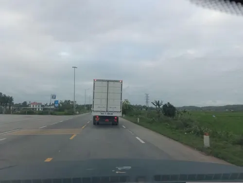
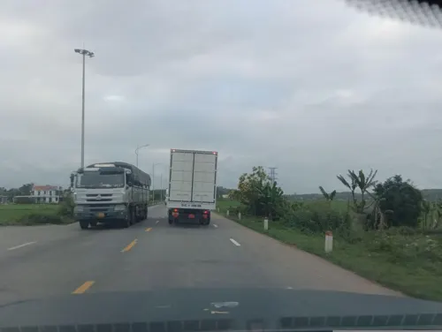


Healthcare1

Map of An Bá
3 places. The map loads OpenStreetMap tiles when you open it.
Getting there and nearby towns
Chu Lai Airport (VCL) is the nearest airport with scheduled flights listed in OpenStreetMap, 50 km away.
- Quảng Ngãi 16 km north, about 16 min by car
- Mỹ Khê 19 km north, about 19 min by car
- Đức Phổ 22 km southeast, about 22 min by car
- Mỹ Lại 23 km north, about 23 min by car
- Lý Sơn 52 km northeast, about 52 min by car
- Núi Thành 54 km north, about 54 min by car
- Măng Đen 74 km southwest, about 1 h 15 min by car
- Tam Kỳ 77 km northwest, about 1 h 15 min by car
- An Hà 77 km northwest, about 1 h 15 min by car
- Trà My 78 km northwest, about 1 h 15 min by car
Drive times are estimates from straight-line distance, not routes.
Local news
Headlines from INDB.
Reviews, tips and questions
Loading what members have shared...
Sources and licences
- GeoNames (CC BY 4.0): population, coordinates, regions and time zone
- Mapillary (see each image): photos
- OpenStreetMap contributors (ODbL 1.0): places, airports, map data
- Wikidata (CC0 1.0): elevation, founding date, time zone, website
- Wikimedia Commons (see each image): photos
- Wikipedia (CC BY-SA 4.0): overview and history text
Photo credits
- Đập Bến Thóc (Đức Hiệp-Mộ Đức-Quảng Ngãi) - panoramio, Nghiem DangVi, CC BY 3.0
- Cây lục bát, Santiagovn1, CC BY-SA 4.0
- Ngã 3 Sông Thoa-Sông Vệ (Hành Thịnh-Nghĩa Hành-Quảng Ngãi) - panoramio, Nghiem DangVi, CC BY 3.0
- Đập Phước Khánh (Đức Tân-Mộ Đức-Quảng Ngãi) - panoramio, Nghiem DangVi, CC BY 3.0
- Đập Cầu Đập (Đức Tân-Mộ Đức-Quảng Ngãi) - panoramio, Nghiem DangVi, CC BY 3.0
- Kênh tiêu Bầu Súng (Đức Thạnh-Mộ Đức-Quảng Ngãi) - panoramio, Nghiem DangVi, CC BY 3.0
- Xi phông Sông Vệ (Nghĩa Hành-Quảng Ngãi) - panoramio, Nghiem DangVi, CC BY 3.0
- Trạm Bơm Bầu Súng (Đức Chánh-Mộ Đức-Quảng Ngãi) - panoramio, Nghiem DangVi, CC BY 3.0
- Kênh tiêu Bầu Súng (Đầu kênh xã Đức Chánh-Mộ Đức-Quảng Ngãi) - panoramio, Nghiem DangVi, CC BY 3.0
- Vietnam Railways Seat Backs, Dragfyre, CC BY-SA 3.0
- Street-level photo, builangbat, CC BY-SA 4.0
- Street-level photo, builangbat, CC BY-SA 4.0


Page built November 8, 2026. Spotted a mistake? Tell us or suggest a place.