


Why visit An Hải
Townapedia lists 5 museums and landmarks, 3 parks and trails, 327 places to eat, 179 places to stay and 9 attractions in and around town.
Highlights include Dragon Bridge, Han River Bridge, Museum of Cham Sculpture and Zone 5 Military Museum.
Weather in An Hải
Forecast from MET Norway (CC BY 4.0). Full forecast
Things to do9


Nguyen Van Troi Bridge
Bridge · 1.8 km
Pedestrian bridge in Da Nang, Vietnam



Museums and landmarks5


Zone 5 Military Museum
Museum · 2.6 km
Military museum in Da Nang, Vietnam

Parks, trails and playgrounds3

Restaurants and cafes327
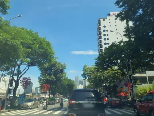
La Cabana - House of BBQ
Restaurant · Steak House, Argentinian, Burger
La Cabana is a Cozy Argentinian Steak house in Da Nang. Han River, Dragon Bridge view with spacious space, comfortable seats, excellent...
505 Đường Trần Hưng Đạo, Đà Nẵng
Mo-Su 16:00-23:00


Highlands Coffee
Cafe · Coffee Shop, Vietnamese · 0.6 km
910A Đường Ngô Quyền, Đà Nẵng
Mo-Su 07:00-22:00
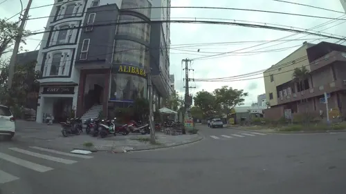
My Casa
Restaurant · Spanish, Italian Pizza, Tapas, Pizza, Noodles · 1.2 km
53 Đường Morrison
Th-Tu 11:00-12:00, 13:00-14:00
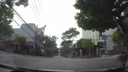
Thực Dưỡng Bảo An
Restaurant · Vietnamese · 1.3 km
56 Đường Hoàng Bích Sơn
Mo-Sa 06:30-20:30; Su 06:30-15:30
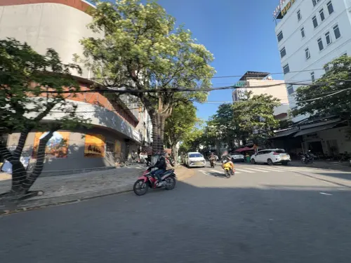
TripleCoffee - Bánh Mỳ TôNy
Cafe · Asian, Bubble Tea, Coffee Shop, Vietnamese · 0.8 km
70 Đường Phạm Tu
Mo-Su 06:30-21:00
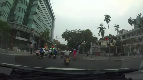
XÓM MỚI GARDEN ĐÀ NẴNG (씀모이가든 다낭)
Restaurant · Vietnamese · 1.1 km
222 Đường Trần Phú
Mo-Su 10:30-22:00
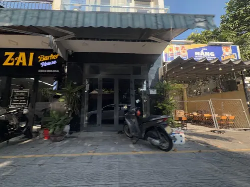
Danasol - Eatery Cafe Workspace
Cafe · Breakfast, Chicken, Coffee Shop, French, International, Mediterranean · 1.3 km
117 Đường Đặng Vũ Hỷ
Mo-Su 08:00-20:00
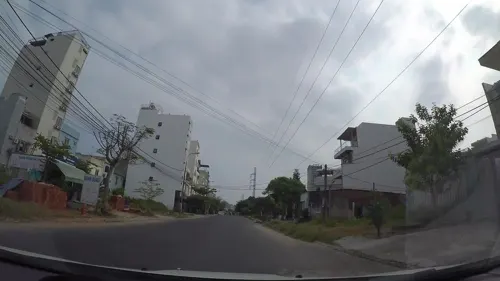


GEN SUSHI
Restaurant · Japanese, Ramen, Sushi · 1.0 km
63 Đường Chính Hữu
Mo-Su 11:30-22:00
315 more on the map.
Where to stay179
Churches and places of worship11
Guanyin Statue - My Khe Temple
Place of worship · 1.1 km
Đường Nguyễn Công Trứ, Đà Nẵng
Shopping24
Gas and EV charging1
Schools, colleges and libraries18
Healthcare14
Bệnh viện Y học cổ truyền thành phố Đà Nẵng (cơ sở 2)
Hospital · 1.2 km
51 Đường Trần Quốc Toản
Map of An Hải
250 places. The map loads OpenStreetMap tiles when you open it.
Getting there and nearby towns
Da Nang International Airport (DAD) is the nearest airport with scheduled flights listed in OpenStreetMap, 5 km away.
- Sơn Trà 1 km south, about 1 min by car
- Da Nang 1 km west, about 1 min by car
- Thanh Khê 5 km west, about 5 min by car
- Hòa Cường 6 km southwest, about 6 min by car
- Cẩm Lệ 6 km southwest, about 6 min by car
- Điện Bàn 20 km south, about 20 min by car
- Hải Châu 20 km southwest, about 20 min by car
- Tra Que Vegetable Village 21 km southeast, about 21 min by car
- Hoi An 23 km southeast, about 23 min by car
- Huế 81 km northwest, about 1 h 15 min by car
Drive times are estimates from straight-line distance, not routes.
Local news
Headlines from INDB.
Reviews, tips and questions
Loading what members have shared...
Sources and licences
- GeoNames (CC BY 4.0): population, coordinates, regions and time zone
- Mapillary (see each image): photos
- OpenStreetMap contributors (ODbL 1.0): places, airports, map data
- Wikidata (CC0 1.0): elevation, founding date, time zone, website, landmarks and historic places
- Wikimedia Commons (see each image): photos
Photo credits
- Han River, Da Nang, Vietnam (15428173695), Gary Todd from Xinzheng, China, CC0
- Cầu Trần Thị Lý và cầu Nguyễn Văn Trỗi, Linhcandng ( thảo luận ), CC BY-SA 3.0
- ThuậnPhước, HaMinh1997 at Vietnamese Wikipedia, CC BY-SA 3.0
- Sông Hàn 1, Peter in s, CC0
- Trần Thị Lý Bridge at daytime, [Tycho] talk , http://shansov.net, CC BY-SA 3.0
- Bảo Tàng Khu 5, Zone 5 Military Museum, Da Nang, 2016, Photographer: Mosbatho, CC BY 4.0
- Tòa A - Trường Đại học Kinh tế - Đại học Đà Nẵng, Buitrunghiep, CC0
- Duy Tan University, Truyenthong.wkp, CC BY-SA 4.0
- Le musée Cham (Da Nang) (4395751687), Jean-Pierre Dalbéra from Paris, France, CC BY 2.0
- Cầu Rồng, Bùi Thụy Đào Nguyên, CC BY-SA 3.0
- Museum of Cham Sculpture, Phó Nháy ( talk ) 04:57, 27 August 2011 (UTC), Public domain
- Da Nang women, Bernard Gagnon, CC BY-SA 3.0
- Love Lock Bridge Da Nang 05.19, This Photo was taken by Supanut Arunoprayote . Feel free to use any of my images, but please mention me as the author and may send me a message. (สามารถใช้ภาพได้อิสระ..., CC BY 4.0
- Boats, Danang, Vietnam (12980604753), Loi Nguyen Duc, CC BY 2.0
- Phạm Văn Đồng, Da Nang, Christophe95, CC BY-SA 4.0
- Dragon Bridge at night 6, Christophe95, CC BY-SA 4.0
- Da Nang Dragon Bridge (I), This Photo was taken by Supanut Arunoprayote . Feel free to use any of my images, but please mention me as the author and may send me a message. (สามารถใช้ภาพได้อิสระ..., CC BY 4.0
- Da Nang Lang Co Deo Hai Van (11097), Andre Hospers, CC BY 4.0
- Dragon Carp Da Nang 1, Christophe95, CC BY-SA 4.0
- Dragon Carp Da Nang 2, Christophe95, CC BY-SA 4.0
- Dragon Carp, Da Nang 05.19, This Photo was taken by Supanut Arunoprayote . Feel free to use any of my images, but please mention me as the author and may send me a message. (สามารถใช้ภาพได้อิสระ..., CC BY 4.0
- Da Nang Dragon Bridge in 2015, Vuong Tri Binh, CC BY-SA 4.0
- Dragon Bridge at night 5, Christophe95, CC BY-SA 4.0
- Dragon Bridge Da Nang 4, Christophe95, CC BY-SA 4.0
- Heineken billboards alongside the Han River in 2015, Vuong Tri Binh, CC BY-SA 4.0
- Fish statue in Da Nang shining with blue lights at night, Vuong Tri Binh, CC BY-SA 4.0
- Dragon Bridge at night 7, Christophe95, CC BY-SA 4.0
- Dragon Bridge at night 9, Christophe95, CC BY-SA 4.0
- Dragon Bridge at night 8, Christophe95, CC BY-SA 4.0
- Dragon Bridge Da Nang 5, Christophe95, CC BY-SA 4.0
- Dragon Bridge at night 4, Christophe95, CC BY-SA 4.0
- Han River in Da Nang 8, Christophe95, CC BY-SA 4.0
- Dragon Bridge 11, tuankiet65, CC BY-SA 3.0
- Dragon Bridge 21, tuankiet65, CC BY-SA 3.0
- Dragon Bridge 18, tuankiet65, CC BY-SA 3.0
- Dragon Bridge 09, tuankiet65, CC BY-SA 3.0
- Dragon Bridge 14, tuankiet65, CC BY-SA 3.0
- Dragon Bridge 16, tuankiet65, CC BY-SA 3.0
- Dragon Bridge 19, tuankiet65, CC BY-SA 3.0
- Dragon Bridge 15, tuankiet65, CC BY-SA 3.0
- Street-level photo, congduy, CC BY-SA 4.0
- Street-level photo, filipb, CC BY-SA 4.0
- Street-level photo, kaartcam, CC BY-SA 4.0
- Street-level photo, kaartcam, CC BY-SA 4.0
- Street-level photo, kaartcam, CC BY-SA 4.0
- Street-level photo, kaartcam, CC BY-SA 4.0
- Street-level photo, kaartcam, CC BY-SA 4.0
- Street-level photo, kaartcam, CC BY-SA 4.0
- Street-level photo, kaartcam, CC BY-SA 4.0
- Street-level photo, filipb, CC BY-SA 4.0
- Street-level photo, kaartcam, CC BY-SA 4.0
- Street-level photo, kaartcam, CC BY-SA 4.0
- Street-level photo, rsnaru, CC BY-SA 4.0
- Street-level photo, kaartcam, CC BY-SA 4.0
- Street-level photo, congduy, CC BY-SA 4.0
- Street-level photo, kaartcam, CC BY-SA 4.0
- Street-level photo, congduy, CC BY-SA 4.0
- Street-level photo, kaartcam, CC BY-SA 4.0
- Street-level photo, duytc, CC BY-SA 4.0
- Street-level photo, kaartcam, CC BY-SA 4.0
- Street-level photo, filipb, CC BY-SA 4.0


Page built November 8, 2026. Spotted a mistake? Tell us or suggest a place.