


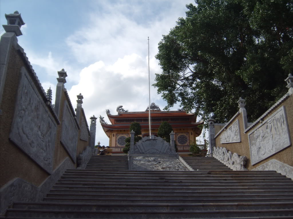
Buôn Ma Thuột, Vietnam
Buôn Ma Thuột is a regional capital of 434,256 people in Dak Lak, Vietnam.
Why visit Buôn Ma Thuột
Townapedia lists 14 museums and landmarks, 13 parks and trails, 126 places to eat, 49 places to stay and 16 attractions in and around town.
Highlights include EaKao Lake farmstay, The World Coffee Museum and Vườn hoa Ea Tam.
Weather in Buôn Ma Thuột
Forecast from MET Norway (CC BY 4.0). Full forecast
About Buôn Ma Thuột
Buôn Ma Thuột or sometimes Buôn Mê Thuột or Ban Mê Thuột (Vietnamese pronunciation: [ʔɓuon1 maː1 tʰuot̚ʔ6], ), was the former capital city of Đắk Lắk Province in the Central Highlands of Vietnam. Its population was 434,256 in 2023. The city is the largest in the Central Highlands and is known for its coffee culture.
From the Wikipedia article Buôn Ma Thuột (city) (this version), under CC BY-SA 4.0.
Travel tips from other travellers: Buôn Ma Thuột on Wikivoyage (CC BY-SA 4.0).
Things to do16




4 more on the map.
Museums and landmarks14


2 more on the map.
Parks, trails and playgrounds13
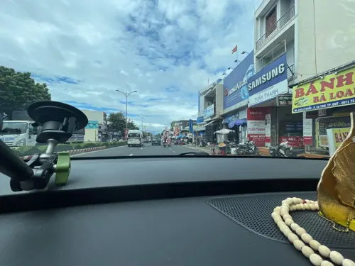

Sân vận động Buôn Ma Thuột
Sports field and stadium · 1.2 km
Nguyễn Công Trứ, Buôn Ma Thuột

1 more on the map.
Restaurants and cafes126


BÒ NÉ BỐN TRIỆU
Restaurant · Diner, Breakfast, Coffee Shop · 1.6 km
33 Hai Bà Trưng
Mo-Su 06:00-21:00
Cielo Art Coffee & Tea
Cafe · Coffee Shop, Lớp Vẽ, Workshop · 1.9 km
40 Ngô Mây
Mo-Su 06:00-22:00
NHÍM COFFEE & DRINK
Cafe · Coffee Shop · 1.8 km
151 Trần Quý Cáp, Buôn Ma Thuột
Mo-Su 07:00-21:00
Oppa Cơm Tấm
Restaurant · Vietnamese · 2.1 km
66 Lê Đức Thọ
Mo-Su 10:30-20:30
Trà Sữa Giấy
Cafe · Fine Dining · 2.7 km
128 Phan Chu Trinh
Mo-Su 08:00-22:00
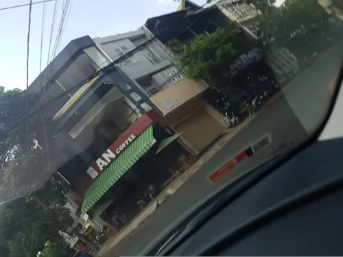


Aimeê Coffee
Cafe · Coffee Shop · 2.8 km
29 Y Bih Alêô, Buôn Ma Thuột
Mo-Su 06:00-21:00
Ede people cuisine
Restaurant · Diner, Local, Regional, Vietnamese · 3.4 km
Mo-Su 10:00-22:00
114 more on the map.
History
In 1904, according to a decree by the Supreme Council of the Governor-General of Indochina, Đắk Lắk Province was established with its provincial capital in Buôn Ma Thuột. In 1913, Đắk Lắk Province was dissolved and merged into Kon Tum Province, causing Buôn Ma Thuột to lose its status as the provincial capital. However, in 1923, the Governor-General of Indochina issued a decree to re-establish Đắk Lắk Province, with Buôn Ma Thuột once again serving as the administrative center.
From the 1930s to 1954, Buôn Ma Thuột experienced significant development with the construction of numerous administrative, commercial, and military infrastructure projects by the French colonial government. The town gradually became a key hub connecting the Central Highlands with the central provinces of Vietnam.
After the Geneva Accords of 1954, Buôn Ma Thuột came under the control of the government of the Republic of Vietnam. From 1954 to 1975, it continued to serve as the administrative and economic center of Đắk Lắk Province. In 1958, the Saigon government divided the province into multiple districts, with Buôn Ma Thuột being the most important. The town also held a strategic position during the Vietnam War.
From the History section of Buôn Ma Thuột (city) on Wikipedia, under CC BY-SA 4.0.
Where to stay49
Churches and places of worship14
Shopping20
Gas and EV charging33
Schools, colleges and libraries67
Healthcare68
Bệnh viện Y học cổ truyền tỉnh Đắk Lắk
Hospital · 4.5 km
7 Đường Nguyễn Chí Thanh
QT 102( Nguyễn Thị Thu Trang)
Clinic and pharmacy · 7.1 km
27A thôn 13 xã hoà khánh ( đoàn kết)
Map of Buôn Ma Thuột
250 places. The map loads OpenStreetMap tiles when you open it.
Getting there and nearby towns
Buon Ma Thuot Airport (BMV) is the nearest airport with scheduled flights listed in OpenStreetMap, 9 km away.
- Ea Pốc 13 km north, about 13 min by car
- Ea Na 15 km south, about 15 min by car
- Quảng Phú 17 km north, about 17 min by car
- Ea Pô 17 km west, about 17 min by car
- Ea T’ling 18 km southwest, about 18 min by car
- Buôn Tur 19 km south, about 19 min by car
- Buôn Trấp 20 km south, about 20 min by car
- Phước An 29 km east, about 29 min by car
- Liên Sơn 32 km southeast, about 32 min by car
- Buôn Hồ 42 km northeast, about 42 min by car
Drive times are estimates from straight-line distance, not routes.
Local news
Headlines from INDB.
Reviews, tips and questions
Loading what members have shared...
Sources and licences
- GeoNames (CC BY 4.0): population, coordinates, regions and time zone
- Mapillary (see each image): photos
- OpenStreetMap contributors (ODbL 1.0): places, airports, map data
- Wikidata (CC0 1.0): elevation, founding date, time zone, website, landmarks and historic places
- Wikimedia Commons (see each image): photos
- Wikipedia (CC BY-SA 4.0): overview and history text
Photo credits
- Buôn Ma Thuột city square, Rdavout, CC BY-SA 3.0
- Buôn Ma Thuột - buildings at Exile House former prison Apr 2024 04, Dominic Nelson, CC BY-SA 4.0
- Nhà thờ chính tòa Ban Ma Thuột, Bùi Thụy Đào Nguyên, CC BY-SA 4.0
- Tru by Hilton, Town Center Promenade, Jacksonville, Michael Rivera, CC BY 4.0
- Khaidoan, DXLINH, Public domain
- Phominhbmt1, Group7KeToanK10DHTN, CC BY-SA 3.0
- Untitled, Mark Le, CC BY 3.0
- Happiness, Mark Le, CC BY 3.0
- Nguyễn Thiện Chân chụp ở đường hoa Buôn Mê Thuộc, Đăk Lăk, NguyenThienChan.vn, CC0
- Hoàng Sơn Tết Tân Mão tại Ban Mê - panoramio, Dinh Ngoc Binh, CC BY-SA 3.0
- Ngày hội tư vấn nghề nghiệp, Ama Vũ BMT, CC BY-SA 4.0
- Nhà thờ Chánh tòa - panoramio, Dinh Ngoc Binh, CC BY-SA 3.0
- Lang ca phe Trung Nguyen, vi:User:Pttp1991, CC BY-SA 3.0
- Nhà Xuân Thắng - panoramio, Dinh Ngoc Binh, CC BY-SA 3.0
- ISS038-E-28745 - View of Earth, Earth Science and Remote Sensing Unit , Lyndon B. Johnson Space Center, Public domain
- ISS022-E-57497 - View of Earth, Earth Science and Remote Sensing Unit , Lyndon B. Johnson Space Center, Public domain
- ISS022-E-57498 - View of Earth, Earth Science and Remote Sensing Unit , Lyndon B. Johnson Space Center, Public domain
- ISS022-E-62445 - View of Vietnam, Earth Science and Remote Sensing Unit , Lyndon B. Johnson Space Center, Public domain
- ISS022-E-57496 - View of Earth, Earth Science and Remote Sensing Unit , Lyndon B. Johnson Space Center, Public domain
- ISS006-E-23415 - View of Cambodia, Earth Science and Remote Sensing Unit , Lyndon B. Johnson Space Center, Public domain
- Buon Ma Thuot Airport, [Tycho] talk , http://shansov.net, CC BY-SA 3.0
- Buon Ma Thuot business lounge, [Tycho] talk , http://shansov.net, CC BY-SA 3.0
- Street-level photo, Meomeo, CC BY-SA 4.0
- Street-level photo, VPTD, CC BY-SA 4.0
- Street-level photo, VPTD, CC BY-SA 4.0


Page built November 8, 2026. Spotted a mistake? Tell us or suggest a place.