


Hà Tĩnh, Vietnam
Hà Tĩnh is a regional capital of 266,321 people in Hà Tĩnh Province, Vietnam, founded in May 28, 2007.
Why visit Hà Tĩnh
Townapedia lists 4 museums and landmarks, 7 parks and trails, 102 places to eat, 13 places to stay and 4 attractions in and around town.
Weather in Hà Tĩnh
Forecast from MET Norway (CC BY 4.0). Full forecast
About Hà Tĩnh
Hà Tĩnh (Vietnamese: [hâː tǐŋ̟ˀ] ) is a city in Vietnam. It is the capital of Hà Tĩnh Province, and lies in the North Central Coast region. It is located on National Highway 1A. The Vietnamese capital Hanoi is located 340 km north of Hà Tĩnh, Vinh is located 50 km to the north, and Huế is located 314 km to the south.
From the Wikipedia article Hà Tĩnh (city) (this version), under CC BY-SA 4.0.
Things to do4



Museums and landmarks4

Parks, trails and playgrounds7


Restaurants and cafes102

Phong Nga Restaurant
Restaurant · Breakfast, Diner, Fish, Beef Bowl, Pasta, Chicken, Coffee Shop · 4.0 km
ĐƯỜNG TRÁNH Hà Tĩnh
24/7

Best Street Food
Restaurant · Vietnamese · 0.8 km
13 Ngõ 5 Võ Liên Sơn
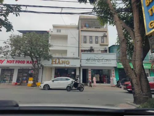
highland coffee
Cafe · Burger, Pizza · 4.1 km
05 đường 19/5, Thành Phố Hà Tĩnh
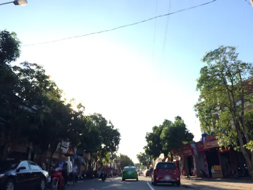
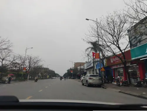
Nha hang Huyen duc Am thuc Paradise
Restaurant · 2.4 km
155a Vũ Quang
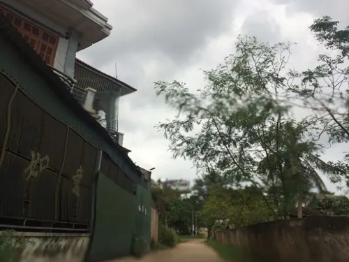
Nhà Hàng Lý Dung
Restaurant · Mung Bean Pancake · 2.2 km
28 Hai Mươi Sáu Tháng Ba, Hà Tĩnh,
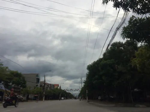


90 more on the map.
Where to stay13
Churches and places of worship5
Shopping11
Gas and EV charging6
Schools, colleges and libraries22
Healthcare19
Map of Hà Tĩnh
193 places. The map loads OpenStreetMap tiles when you open it.
Getting there and nearby towns
Vinh International Airport (VII) is the nearest airport with scheduled flights listed in OpenStreetMap, 51 km away.
- Hòa Hợp 4 km south, about 4 min by car
- Thạch Hà 5 km northwest, about 5 min by car
- Bùi Xá 10 km northwest, about 10 min by car
- Ich Hau 13 km northwest, about 13 min by car
- Sơn Lộc 14 km west, about 14 min by car
- Cẩm Xuyên 14 km southeast, about 14 min by car
- Tiến Lộc 15 km northwest, about 15 min by car
- Tùng Lộc 16 km northwest, about 16 min by car
- Quang Lộc 16 km northwest, about 16 min by car
- Vinh 43 km northwest, about 43 min by car
Drive times are estimates from straight-line distance, not routes.
Local news
Headlines from INDB.
Reviews, tips and questions
Loading what members have shared...
Sources and licences
- GeoNames (CC BY 4.0): population, coordinates, regions and time zone
- Mapillary (see each image): photos
- OpenStreetMap contributors (ODbL 1.0): places, airports, map data
- Wikidata (CC0 1.0): elevation, founding date, time zone, website
- Wikimedia Commons (see each image): photos
- Wikipedia (CC BY-SA 4.0): overview and history text
Photo credits
- Hà Tĩnh view from Sailing Tower, [Tycho] talk , http://shansov.net, CC BY-SA 3.0
- UBND Tỉnh Hà Tĩnh - panoramio, Dinh Ngoc Binh, CC BY-SA 3.0
- Không ảnh thành cổ Hà Tĩnh nhưng năm 1930-1935, Linh mục Léopold Cadière, CC BY-SA 4.0
- Quảng trường Hà Tĩnh, [email protected], CC BY-SA 4.0
- Bưu điện Hà Tĩnh, [email protected], CC BY-SA 4.0
- Cây xăng TP Hà Tĩnh, [email protected], CC BY-SA 4.0
- Tháp Đồng Hồ Quảng trường trung tâm - panoramio, Dinh Ngoc Binh, CC BY-SA 3.0
- Hào Thành Sen, [email protected], CC BY-SA 4.0
- Nha Anh Chuong - Ha Tinh - panoramio, Dinh Ngoc Binh, CC BY-SA 3.0
- Lý Tự Trọng, User:Tranhuyluyen, CC BY-SA 3.0
- Sieu thi Ha Tinh - panoramio, Dinh Ngoc Binh, CC BY-SA 3.0
- City bus in Ha Tinh, Vietnam, Hippietrail, CC0
- Đại Lộ Xô Viết Nghệ Tĩnh, [email protected], CC BY-SA 4.0
- VanHanh, AnthonyLTT-HT, CC BY-SA 4.0
- ISS030-E-177440 - View of Earth, Earth Science and Remote Sensing Unit , Lyndon B. Johnson Space Center, Public domain
- Cave Phong Na (37146), JakobHosp, CC BY 4.0
- Cave Phong Na (73625), JakobHosp, CC BY 4.0
- Cave Phong Na (42550), JakobHosp, CC BY 4.0
- Cave Phong Na, JakobHosp, CC BY 4.0
- Cave Phong Na (68665), JakobHosp, CC BY 4.0
- Cave Phong Na (70686), JakobHosp, CC BY 4.0
- Cave Phong Na (54808), JakobHosp, CC BY 4.0
- Cave Phong Na (87343), JakobHosp, CC BY 4.0
- Cave Phong Na (78156), JakobHosp, CC BY 4.0
- ISS044-E-30743 - View of Earth, Earth Science and Remote Sensing Unit , Lyndon B. Johnson Space Center, Public domain
- ISS044-E-30742 - View of Earth, Earth Science and Remote Sensing Unit , Lyndon B. Johnson Space Center, Public domain
- ISS044-E-30741 - View of Earth, Earth Science and Remote Sensing Unit , Lyndon B. Johnson Space Center, Public domain
- Cuscuta @ThachKhê HaTinh VietNam, The original uploader was BacLuong at Vietnamese Wikipedia ., Public domain
- Street-level photo, hn_right_1, CC BY-SA 4.0
- Street-level photo, hn_right_1, CC BY-SA 4.0
- Street-level photo, annelies, CC BY-SA 4.0
- Street-level photo, annelies, CC BY-SA 4.0
- Street-level photo, hn_right_1, CC BY-SA 4.0
- Street-level photo, annelies, CC BY-SA 4.0
- Street-level photo, annelies, CC BY-SA 4.0
- Street-level photo, hn_right_1, CC BY-SA 4.0
- Street-level photo, hn_right_1, CC BY-SA 4.0
- Street-level photo, hn_right_1, CC BY-SA 4.0
- Street-level photo, annelies, CC BY-SA 4.0
- Street-level photo, hn_right_1, CC BY-SA 4.0
- Street-level photo, hn_right_1, CC BY-SA 4.0
- Street-level photo, hn_right_1, CC BY-SA 4.0
- Street-level photo, hn_right_1, CC BY-SA 4.0
- Street-level photo, hn_right_1, CC BY-SA 4.0


Page built November 8, 2026. Spotted a mistake? Tell us or suggest a place.