


Hương Trà, Vietnam
Hương Trà is a town of 72,677 people in Thừa Thiên Huế Province, Vietnam.
Why visit Hương Trà
Townapedia lists 91 museums and landmarks, 15 parks and trails, 291 places to eat, 58 places to stay and 11 attractions in and around town.
Highlights include Trang Tien Bridge, Diem Phung Thi art foundation and Imperial Citadel.
Weather in Hương Trà
Forecast from MET Norway (CC BY 4.0). Full forecast
About Hương Trà
Hương Trà is a former district-level town (thị xã) of Huế in the North Central Coast region of Vietnam. As of 2020 the town had a population of 72,677. The town covers an area of 392.32 km2 (151.48 sq mi). The district capital lies at Tứ Hạ.
From the Wikipedia article Hương Trà (town) (this version), under CC BY-SA 4.0.
Things to do11





Museums and landmarks91

Diem Phung Thi art foundation
Museum · 13.8 km
17 Lê Lợi, Thành phố Huế
Tu-Su 07:30-11:30; 13:30-17:00

Imperial Citadel
Museum · 12.6 km
23 Tháng 8, Huế
Mo-Sa 07:30-17:30; Su 06:30-17:30


Phú Xuân
Monument and historic site · 13.2 km
The historic capital of the Nguyễn lords, the Tây Sơn dynasty, and later became the Nguyễn dynasty's capital (renamed Huế)

Tomb of Tự Đức
Monument and historic site · 14.1 km
Royal tomb of the Nguyễn dynasty in Vietnam

Báo Quốc Temple
Monument and historic site · 13.6 km
17 Bảo Quốc, Huế
Ho Chi Minh Museum
Museum · 13.4 km
7 Lê Lợi, Huế
Mo-Su 08:00-11:00, 14:00-16:45


79 more on the map.
Parks, trails and playgrounds15


3 more on the map.
Restaurants and cafes291

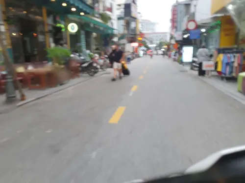
DMZ Bar
Bar and pub · Burger, Sandwich, Crepe, Asian, Coffee Shop, Pasta, Pizza, Chicken, Fish And Chips, Diner, Italian Pizza, Vietnamese, Curry, Breakfast, Sausage, American, Italian · 14.0 km
60 Le Loi
Mo-Su 07:00-02:00

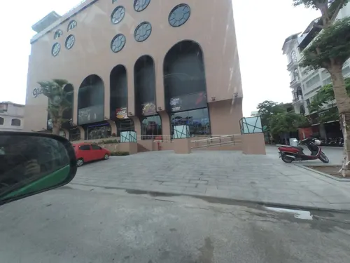
Tea House @ Tịnh Trúc Gia
Cafe · 13.6 km
Calm coffee place operated by people with inabilities
To 21 Phuong Thuy Xuan
Mo-Su 12:00-17:30
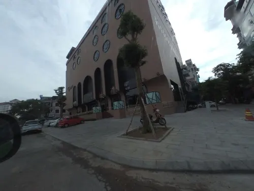
Bún Đậu - LISA HOMEMADE
Restaurant · Vietnamese · 12.2 km
92 Nhật Lệ
Mo-Su 10:00-22:00
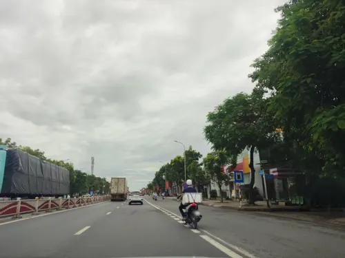


CheHueThaoTram
Restaurant · Vietnamese, Cake, Local
68 Cách Mạng Tháng 8
24/7
279 more on the map.
Where to stay58
Churches and places of worship37
Temple of forefather of bracelet profession
Place of worship · 13.0 km
5 Chùa Ông
Shopping10
Gas and EV charging13
Schools, colleges and libraries32
Phân hiệu Trường Đại học Tài chính - Marketing tại Huế
School · 14.1 km
286 Phạm Văn Đồng
Healthcare20
Bệnh viện Phục hồi chức năng tỉnh Thừa Thiên Huế (cơ sở 2)
Hospital · 13.1 km
30 Tô Hiến Thành
Bệnh viện Y học cổ truyền tỉnh Thừa Thiên Huế
Hospital · 10.6 km
322 Đường Nguyễn Trãi
Map of Hương Trà
250 places. The map loads OpenStreetMap tiles when you open it.
Getting there and nearby towns
Phu Bai International Airport (HUI) is the nearest airport with scheduled flights listed in OpenStreetMap, 28 km away.
- Phong Điền 13 km northwest, about 13 min by car
- Huế 15 km southeast, about 15 min by car
- Hương Thủy 21 km southeast, about 21 min by car
- Hồng Hạ 30 km southwest, about 30 min by car
- Hương Nguyên 32 km south, about 32 min by car
- Thôn La Vang Chinh 33 km northwest, about 33 min by car
- Hồng Kim 33 km southwest, about 33 min by car
- A Lưới 38 km southwest, about 38 min by car
- thị xã Quảng Trị 40 km northwest, about 40 min by car
- Ðông Hà 51 km northwest, about 51 min by car
Drive times are estimates from straight-line distance, not routes.
Local news
Headlines from INDB.
Reviews, tips and questions
Loading what members have shared...
Sources and licences
- GeoNames (CC BY 4.0): population, coordinates, regions and time zone
- Mapillary (see each image): photos
- OpenStreetMap contributors (ODbL 1.0): places, airports, map data
- Wikidata (CC0 1.0): elevation, founding date, time zone, website, landmarks and historic places
- Wikimedia Commons (see each image): photos
- Wikipedia (CC BY-SA 4.0): overview and history text
Photo credits
- Cầu An Lỗ - panoramio, Duy Nguyen, CC BY-SA 3.0
- Thị xã Hương Trà - panoramio, Duy Nguyen, CC BY-SA 3.0
- 2024-07 Cầu Trường Tiền - Truong Tien Bridge - Huế - img 09, Chainwit., CC BY 4.0
- Bảo tàng Cổ vật Cung đình Huế (15245479432), Gin The Wanderer, CC BY 2.0
- TuDucTombeau 06, BluesyPete, CC BY-SA 3.0
- Nhà thờ Chánh tòa Phủ Camafa, Bùi Thụy Đào Nguyên, CC BY-SA 4.0
- Quoc Hoc Hue Classrooms, Oranwiki, CC BY-SA 3.0
- Plan of Great Enclosure, Lưu Ly, Public domain
- Exit gate of Thiên Mụ Pagoda, SerChevalerie, CC0
- Huế 2024 July - Bao Quoc Temple (Chùa Báo Quốc) - img 05, Chainwit., CC BY 4.0
- Thai Hoa palace, Bernard Gagnon, CC BY-SA 3.0
- Từ Hiếu Pagoda 03, Christophe95, CC BY-SA 4.0
- Citadel Hue, https://www.flickr.com/photos/sixty4coupe/, CC BY-SA 2.0
- Temple Main gate, Lưu Ly, Public domain
- Ngomon2, Unknown author, Public domain
- Quốc Học Huế, Lưu Ly, Public domain
- Tu Hieu Pagoda, Lưu Ly, Public domain
- Đại nội, NguyenThanhBac123, CC0
- Nhà hát Sông Hương 2, Nhiếp ảnh gia Ropin Nguyễn, CC BY-SA 4.0
- ThienMuPagoda, Lưu Ly, Public domain
- Chợ An Lỗ - panoramio, Duy Nguyen, CC BY-SA 3.0
- Sông Bồ, Peter in s, CC0
- Tàu khách di sản HQ2 vào ga Văn Xá trên đường sắt số 3 tránh tàu khách SE3 lúc 07h31 sáng ngày Quốc khánh 02.09.2026, Nguyenbaotrung725, CC BY 4.0
- D19E-926 kéo tàu khách SE3 (Hà Nội - Sài Gòn) thông qua ga Văn Xá lúc 07h40 sáng ngày Quốc khánh 02.09.2026, Nguyenbaotrung725, CC BY 4.0
- ISS066-E-123908 - View of Earth, Earth Science and Remote Sensing Unit , Lyndon B. Johnson Space Center, Public domain
- ISS066-E-123910 - View of Earth, Earth Science and Remote Sensing Unit , Lyndon B. Johnson Space Center, Public domain
- ISS066-E-123911 - View of Earth, Earth Science and Remote Sensing Unit , Lyndon B. Johnson Space Center, Public domain
- ISS066-E-123909 - View of Earth, Earth Science and Remote Sensing Unit , Lyndon B. Johnson Space Center, Public domain
- Vilaĝo apud Hue 13, RG72, CC BY-SA 4.0
- Vilaĝo apud Hue 08, RG72, CC BY-SA 4.0
- Vilaĝo apud Hue 09, RG72, CC BY-SA 4.0
- Vilaĝo apud Hue 06, RG72, CC BY-SA 4.0
- Vilaĝo apud Hue 18, RG72, CC BY-SA 4.0
- Vilaĝo apud Hue 17, RG72, CC BY-SA 4.0
- Parfuma rivero, RG72, CC BY-SA 3.0
- Vilaĝo apud Hue 01, RG72, CC BY-SA 4.0
- Vilaĝo apud Hue 05, RG72, CC BY-SA 4.0
- Vilaĝo apud Hue 02, RG72, CC BY-SA 4.0
- Geedziĝa festo en vilaĝo apud Hue 13, RG72, CC BY-SA 4.0
- Vilaĝo apud Hue 04, RG72, CC BY-SA 4.0
- Street-level photo, russmcd, CC BY-SA 4.0
- Street-level photo, rsnaru, CC BY-SA 4.0
- Street-level photo, russmcd, CC BY-SA 4.0
- Street-level photo, rsnaru, CC BY-SA 4.0
- Street-level photo, hn_right_1, CC BY-SA 4.0
- Street-level photo, hn_right_1, CC BY-SA 4.0
- Street-level photo, rsnaru, CC BY-SA 4.0
- Street-level photo, rsnaru, CC BY-SA 4.0
- Street-level photo, russmcd, CC BY-SA 4.0
- Street-level photo, rsnaru, CC BY-SA 4.0
- Street-level photo, rsnaru, CC BY-SA 4.0
- Street-level photo, rsnaru, CC BY-SA 4.0


Page built November 8, 2026. Spotted a mistake? Tell us or suggest a place.